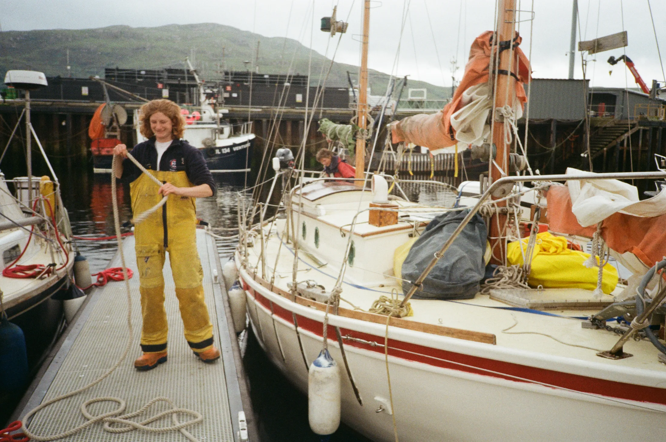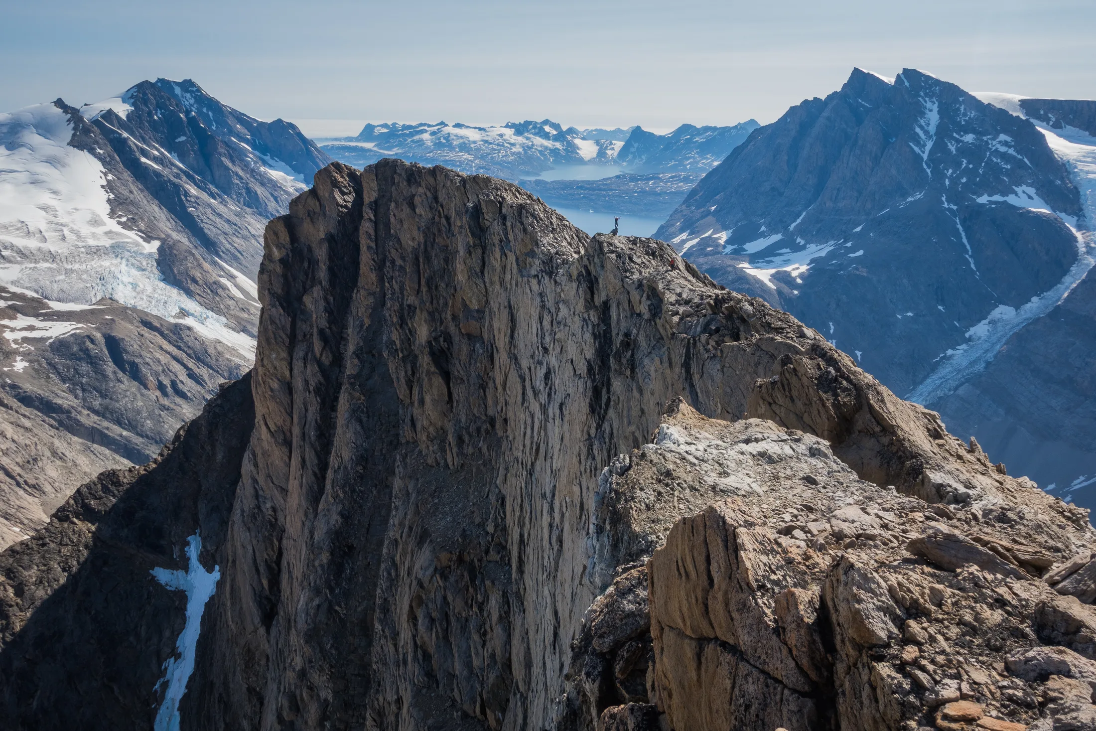
Trip Report
Greenland 2026: Sailing and Climbing in Southeast Greenland
- Expedition
- 9 July – 30 August 2026
- Authors
- Lara Novak, Will Jones, Meg Loftus, Charlie Banford
- Expedition Team Members
- Meg Loftus, Lara Novak, Charlie Banford, Will Jones, Bella Southall, Gabi Krawczyk
A compressed, formatted PDF is available to download below. Please reach out for a high-quality one with full sized images (1.3GBs).
1. Background and Introduction
Written by Lara Novak
Our trip to Southeast Greenland first became an idea in 2024, after an impromptu crossing of the North Sea from Scotland to Norway, with Meg and Lara continuing up to Lofoten. We realised that we were eager to explore this concept of ‘sailing to climb’, particularly doing so without relying on third parties. Naturally, Southeast Greenland presented itself as an enticing goal.
The southeast coast of Greenland is very sparsely populated compared to the west coast, with about 2700 inhabitants mostly concentrated in the town of Tasiilaq. The town of Kulusuk (population 204) has an airport with flights coming in from Reykjavik and Nuuk. Graah Fjord is about 160 miles further south. The fjord remains largely unexplored due to complicated weather and ice conditions as well as its remoteness. However, it was visited by the Swiss Alpine Club women’s expedition in August 2025, who sailed from Iceland on a charter vessel captained by Vicente Castro and successfully put up several first ascents.
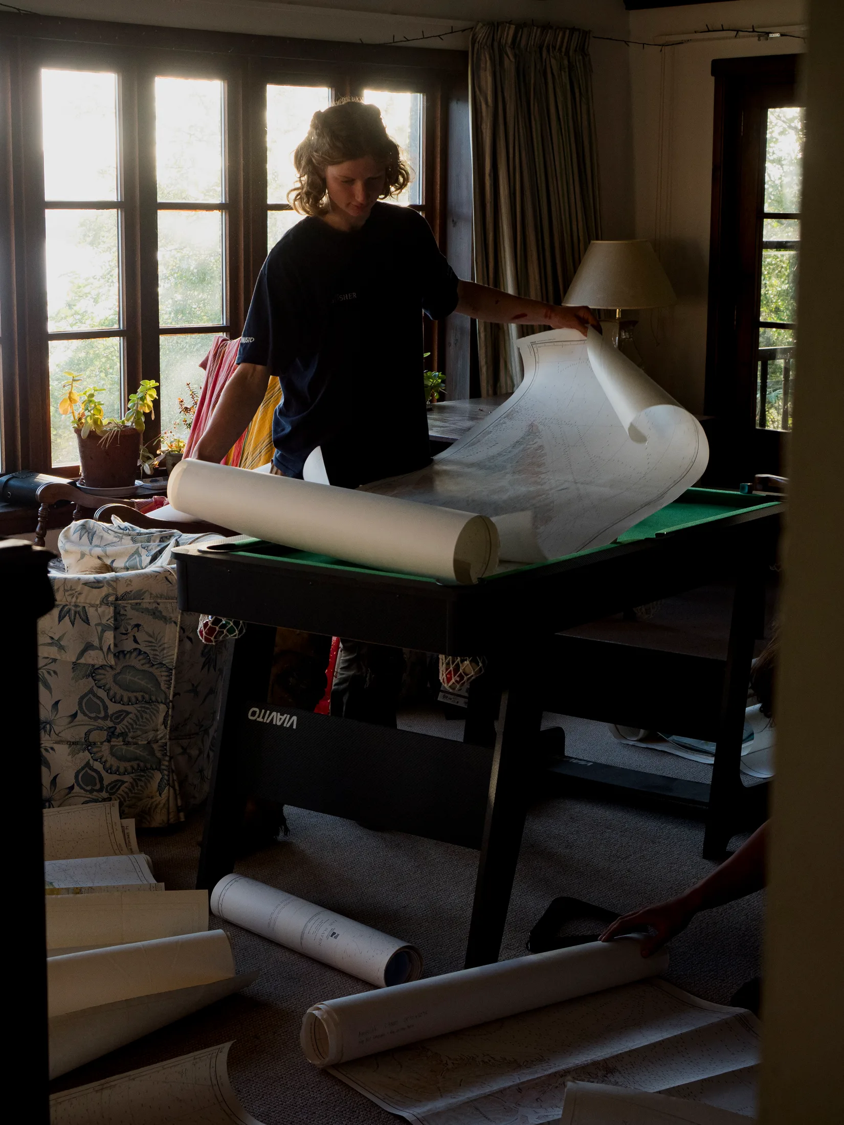
Preparing Charts.
In addition to putting up alpine-style first ascents, we had two main goals for this trip:
-
Sailing ourselves from Scotland to Graah Fjord and back on Meg’s boat Kingfisher, e.g. without using a third party to facilitate the travel. This also involved a refit of the boat prior to departure.
-
Gaining experience and knowledge on how to plan such a trip, as it was the first expedition undertaken by all members.
In achieving these goals, it was important to us to have as little negative impact on our surroundings as possible, both in relation to the natural environment and the Greenlandic population (see Section 14).
The following report contains an account of our trip to climb in Graah Fjord, detailing all our preparations, information about the area, and post-expedition reflections.
2. Team Members
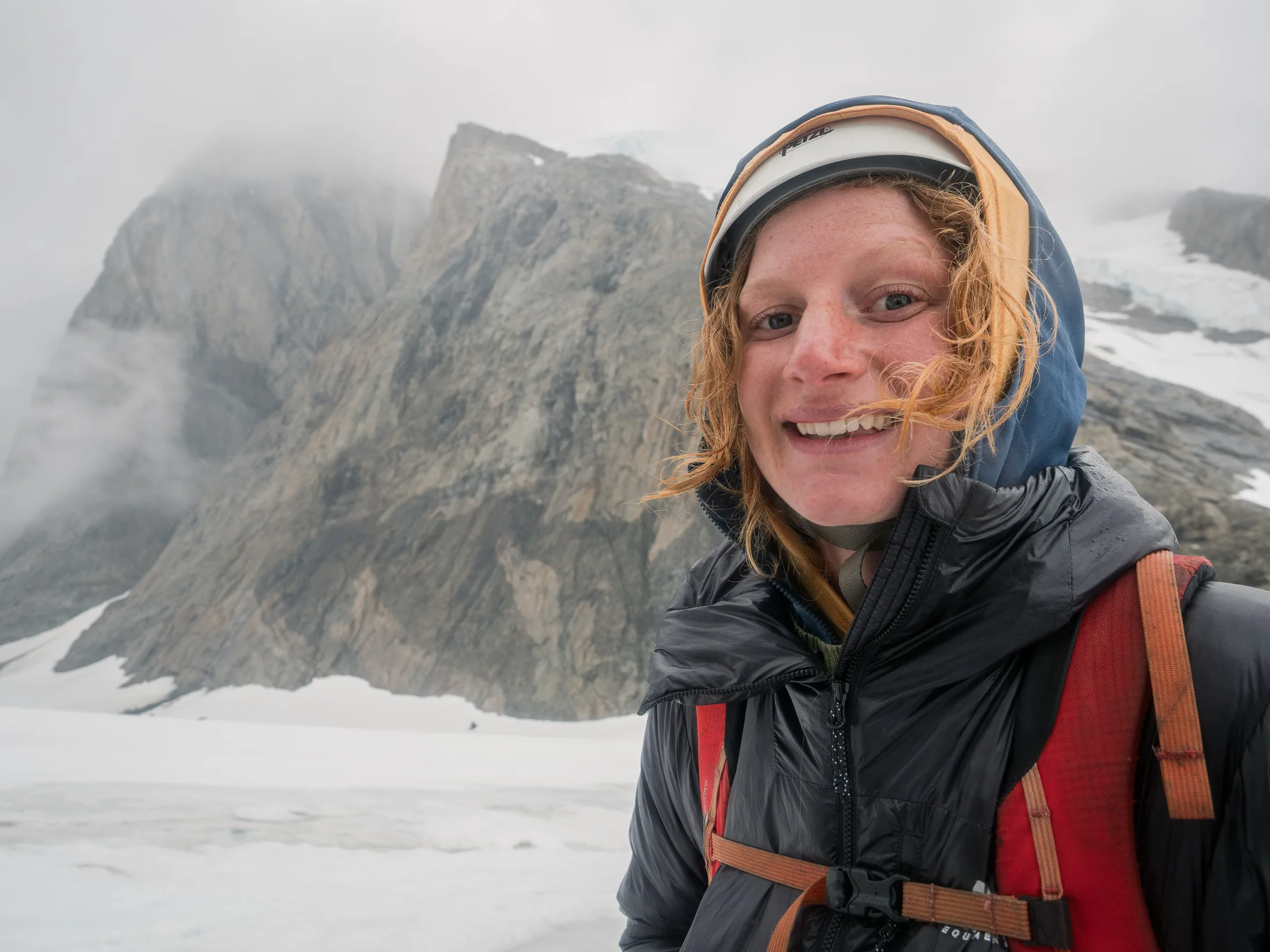
Meg Loftus (21, Skipper) has been sailing Kingfisher on various adventures for the past 5 years. Growing up on the west coast of Scotland and with a wooden boatbuilder for a dad, the sea and sailing were a big part of her life. She started rock climbing 4 years ago and has loved it ever since. Getting to sail to Greenland on a traditional wooden boat and go climbing as well was an amazing culmination of her dreams!
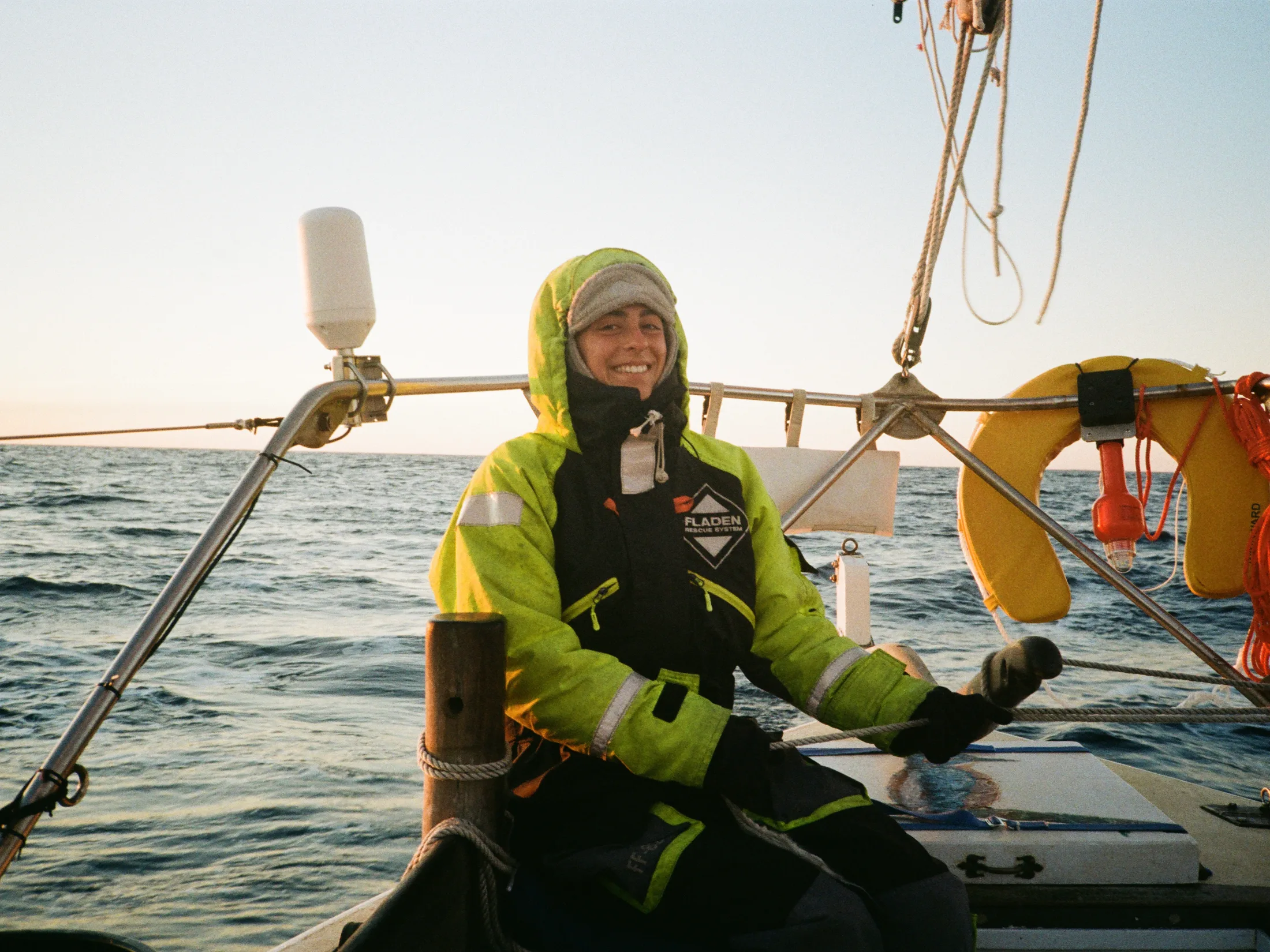
Lara Novak (24, First Mate) has been climbing for 6 years, mostly in the UK and the Italian Alps. She climbs up to E2 and enjoys long mountain routes. She grew up dinghy sailing and has done the RYA Dayskipper qualification, and has been on Kingfisher for the past three summers. She did the WMT Advanced Medicine course in 2026 and was in charge of first aid.
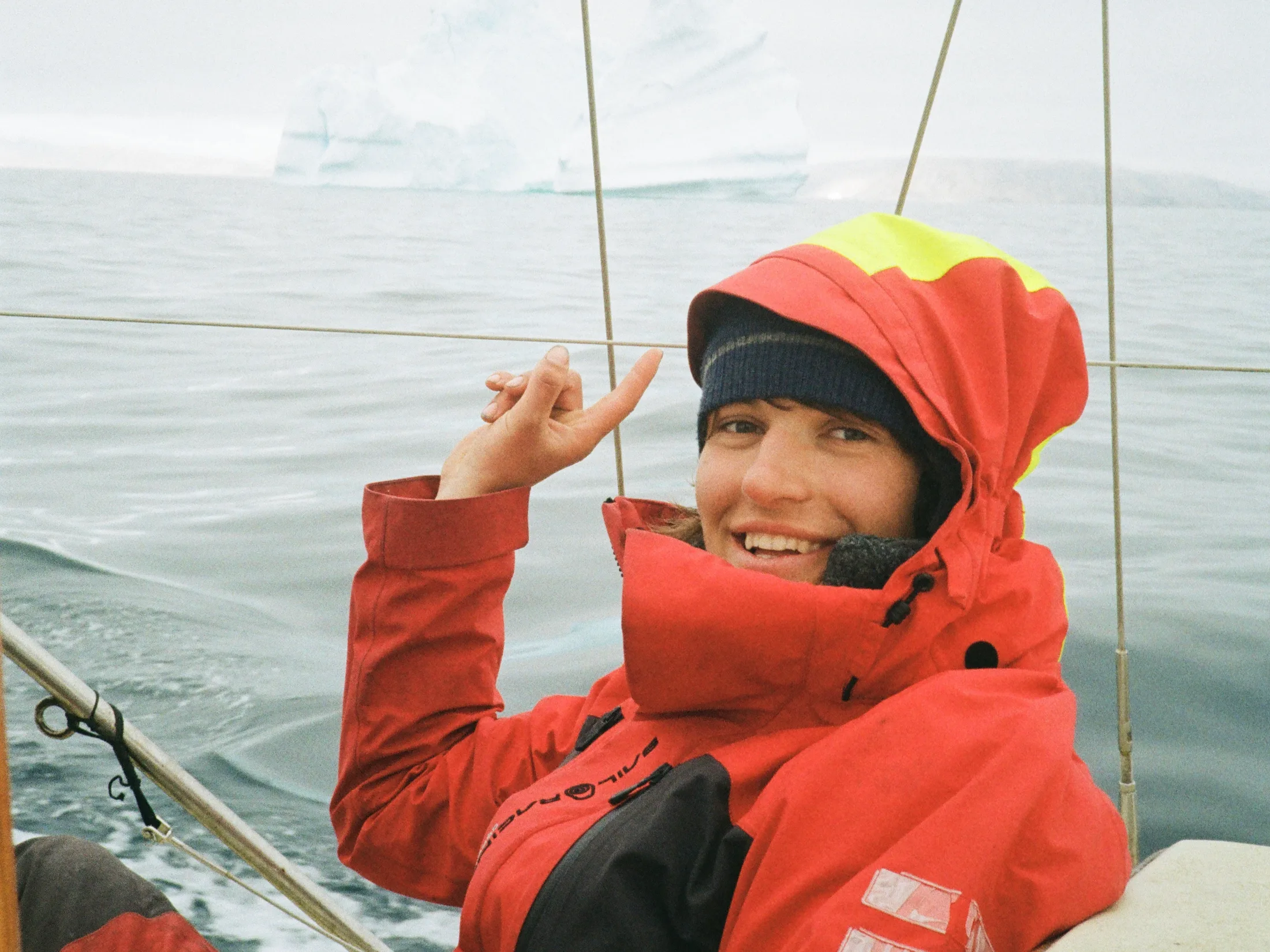
Charlie Banford (23, Engineer) Has been climbing for the last 6 years, confidently up to E2, mostly in Scotland but with trips to the alps and other parts of the UK as well. He was introduced to sailing by Meg Loftus in 2024 and quickly became enthralled, sailing with Meg for the last two summers prior to this trip. Recently graduated with a degree in engineering which taught nothing about boat maintenance but, alongside Meg and the rest of the crew, tried his best to keep the kingfisher working.
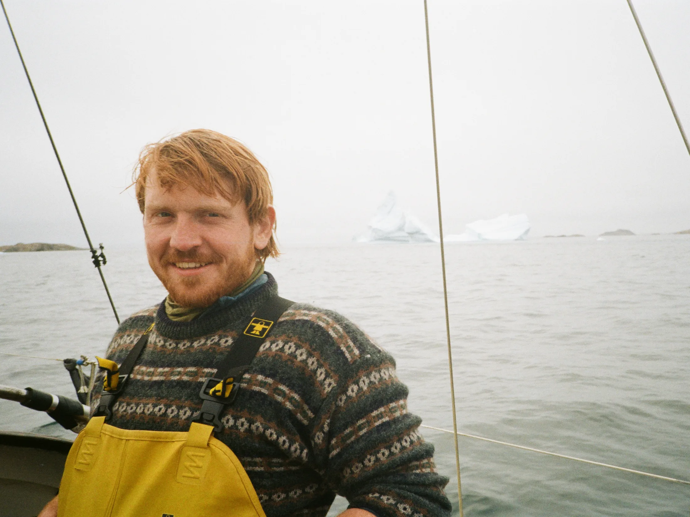
Will Jones (25, Photographer) has been climbing for eight years with experience in the UK, French Alps, New Zealand, Morocco and Australia. He climbs up to E3, TD and Scottish IV, having put up several new routes in Scotland. He is keen on taking pictures and is the trip photographer. He has little experience sailing but has sailed to Mingulay and around the Hebrides on Kingfisher.
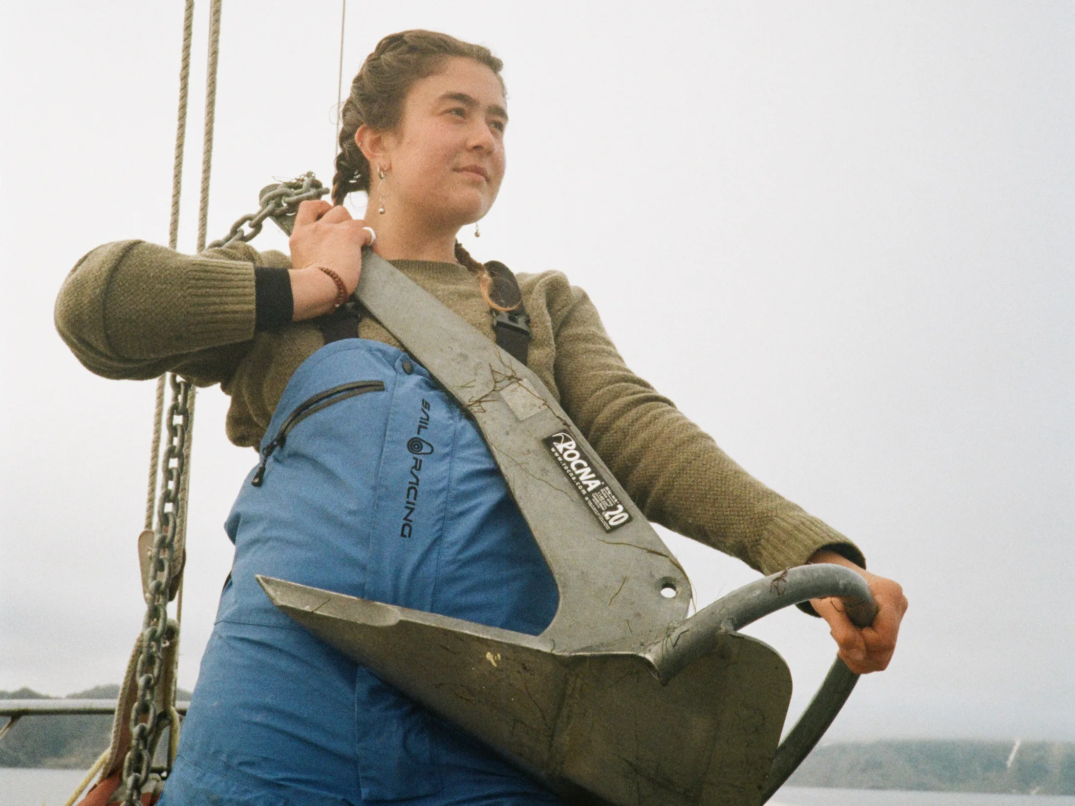
Bella Southall (21, Chief Vibes Officer) Has happily joined Megan on various sailing trips on kingfisher over the past few years. Together they have been on adventures around the outer Hebrides, the Isle of Skye, Ireland and Norway. This past year she has spent in South America for her Spanish degree, where she managed to do some hiking, climbing, teaching and surfing as well as her study. She has been sailing since she was a child where she participated in various dinghy races.
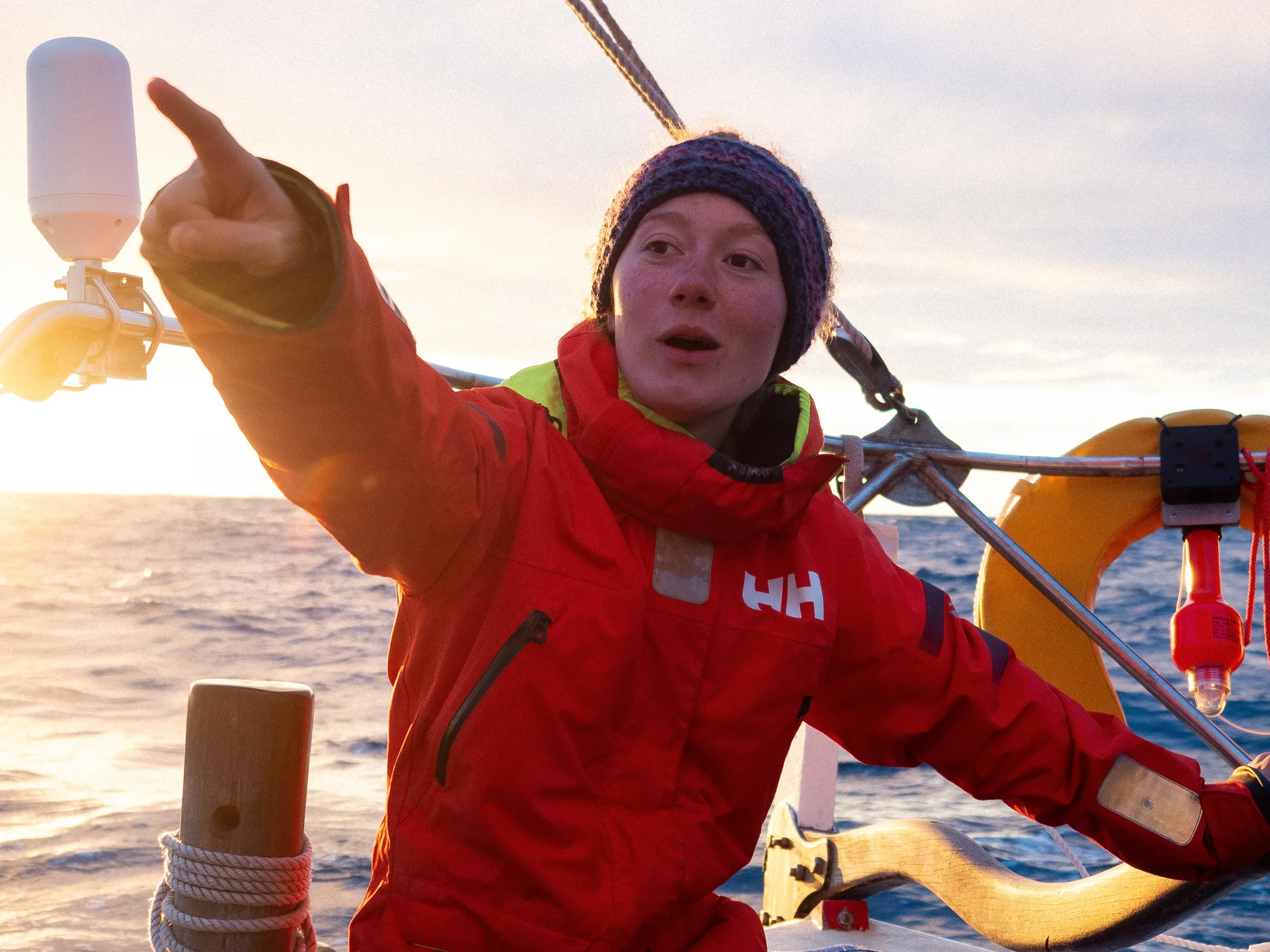
Gabi Krawczyk (20, Diplomatic Relations) grew up sailing and holds a Polish yachtmaster qualification. She has sailed across the Atlantic on a tall ship during covid, spending two months aboard, and has further tall ship crewing experience, including crossing the Gibraltar strait. She has been climbing for three years, with most of her experience coming from the past year in Australia on exchange.
3. Trip Synopsis
Written by Lara Novak
This section is a brief day by day overview of the expedition.
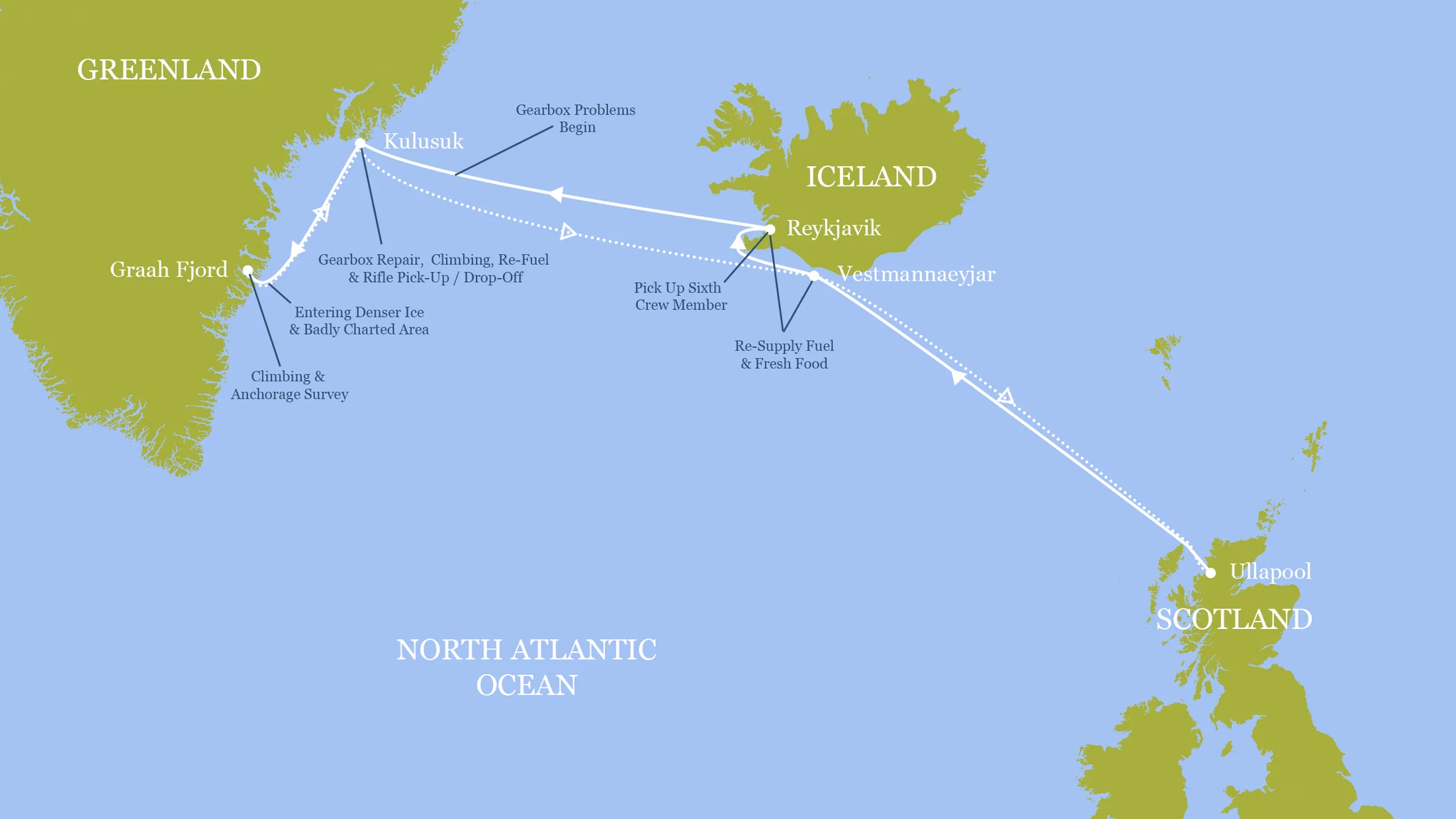
Expedition Map.
9 July: Departed Ullapool with five of the total crew (Meg, Lara, Bella, Charlie, and Will).
10-15 July: Passage to Vestmannaeyjar in Iceland. Two days of motoring followed by light winds. Close-hauled on day 3, on the beam day 4 and downwind day 5. Tore the genoa (15cm rip) and broke a sheet block attachment.
15 July: Arrival in Vestmannaeyjar in the afternoon. Trip to the hotbaths as our first port of call.
17 July: Departure for Reykjavik. Moderate/strong westerlies meant we were tacking with the engine on in choppy waters for approx. 10 hours to reach the western point of Reykjanes Peninsula. Then easy sailing through fog to reach Reykjavik harbour at 22:30.
18 July: Customs came aboard for vessel paperwork and crew list.
19-23 July: Explored Reykjavik and completed some jobs/chores before leaving for Greenland. Last crew member, Gabi, arrived.
24 July: Set sail at 1:00 for Kulusuk. Light winds and good weather.
26 July: 100 miles from Greenland coast, forward gear stopped engaging. We adjusted the morse cable and managed to engage forward. Continued under engine towards Kulusuk.
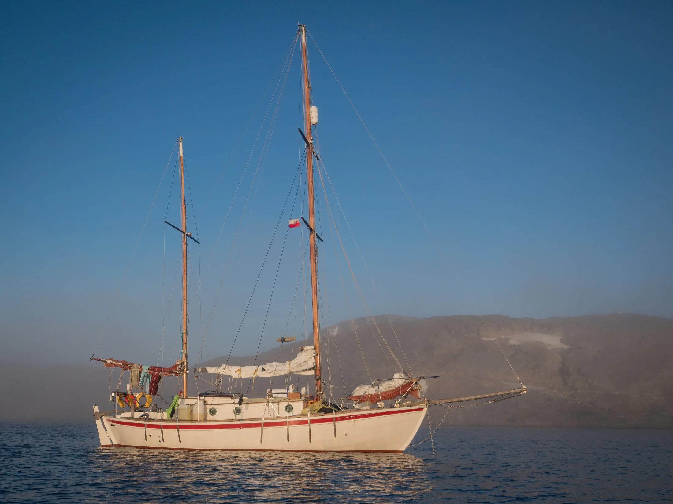
Kingfisher at anchor in Kulusuk.
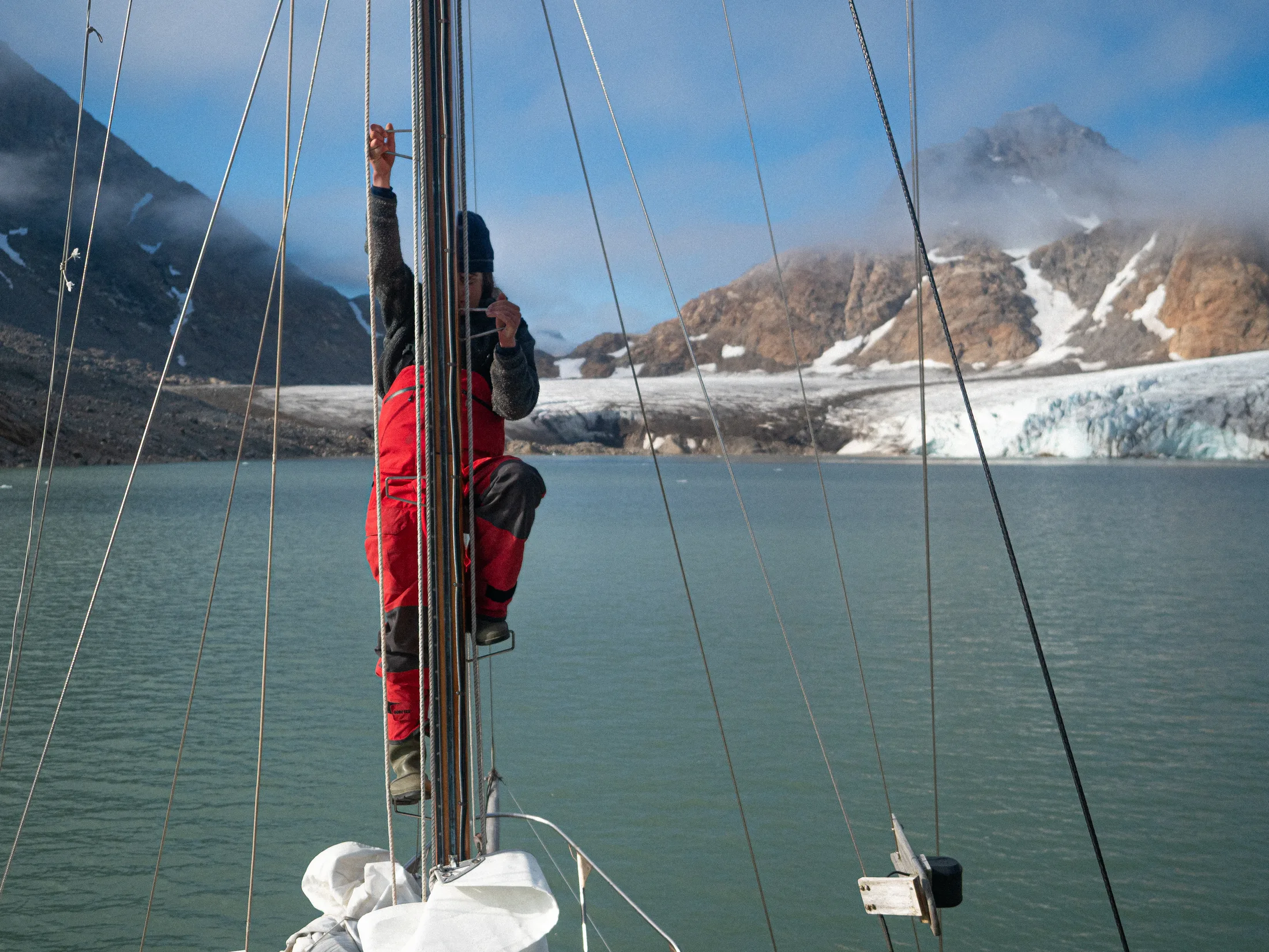
27 July: Approach to Kulusuk: Clear, no wind, sparse bergs. Stationed lookout up the mast to look for uncharted rocks. GPS offset was minimal. A few hundred meters from the anchorage, the gearbox began to slip in gear. We anchored quickly.
28 July: Visited Pirhuk Mountain Guides cabin. Collected the two rifles that they had kindly let us order to their address (see Section 4.4). Solution was to swap the reverse and forwards clutch cone, but this required a 36mm socket we did not have.
29 July: Target practice at a snowpatch 2km out of the town.
30 July: Took the gearbox to Kulusuk airport. Managed to reverse the cones with the help of Bendt (airport manager) and colleague Mugu (policeman, mechanic, maybe more). Purchased 2 litres of ATF (gearbox oil). Reattached the gearbox after dinner, not yet tested.
31 July: Meg and Charlie successfully motored Kingfisher around in circles in Kulusuk Bay - both forwards and reverse were engaging. Will and Lara went to explore climbing in the vicinity, doing two single pitch routes in an easterly bay. Bella and Gabi found some bouldering.
1 August: No weather window for heading south until the 3rd so we went climbing. Did two (potentially) new routes: Lara and Meg put up ‘The Mists of Avalon’ 110m HVS 5a, Charlie and Will put up ‘Clutch Cone Corner’, 110m E1 5b.
2 August: Morning visit to the private collection museum. Took an afternoon motor to see Apusiaajik Glacier, approx. 9km NNE of Kulusuk. Gearbox output seal had been damaged in our deconstructions, leaking ATF. Installed Tupperware drip tray.
3 August: Had tea aboard the Annabel J. with owners Andrew and Máire Wilkes. Set off for Graah Fjord at 20:00. Gearbox oil topped up every 4.5 hours of motoring, about 40ml each time.
4 August: Sunny and calm day. Sailing by lunchtime, downwind 3-4 kts.
5 August: Fog descended at 4:30. Passed through an ice band (1/10ths). Due to visibility decided not to enter Graah Havn as initially planned and continued up the fjord. Ten miles up fog cleared into brilliant sunshine. Paradise! Anchored in 30m with 100m scope out in the steeply shelving anchorage bowl. By evening, catabatics (force 4) were coming over the land. Sat anchor watch.
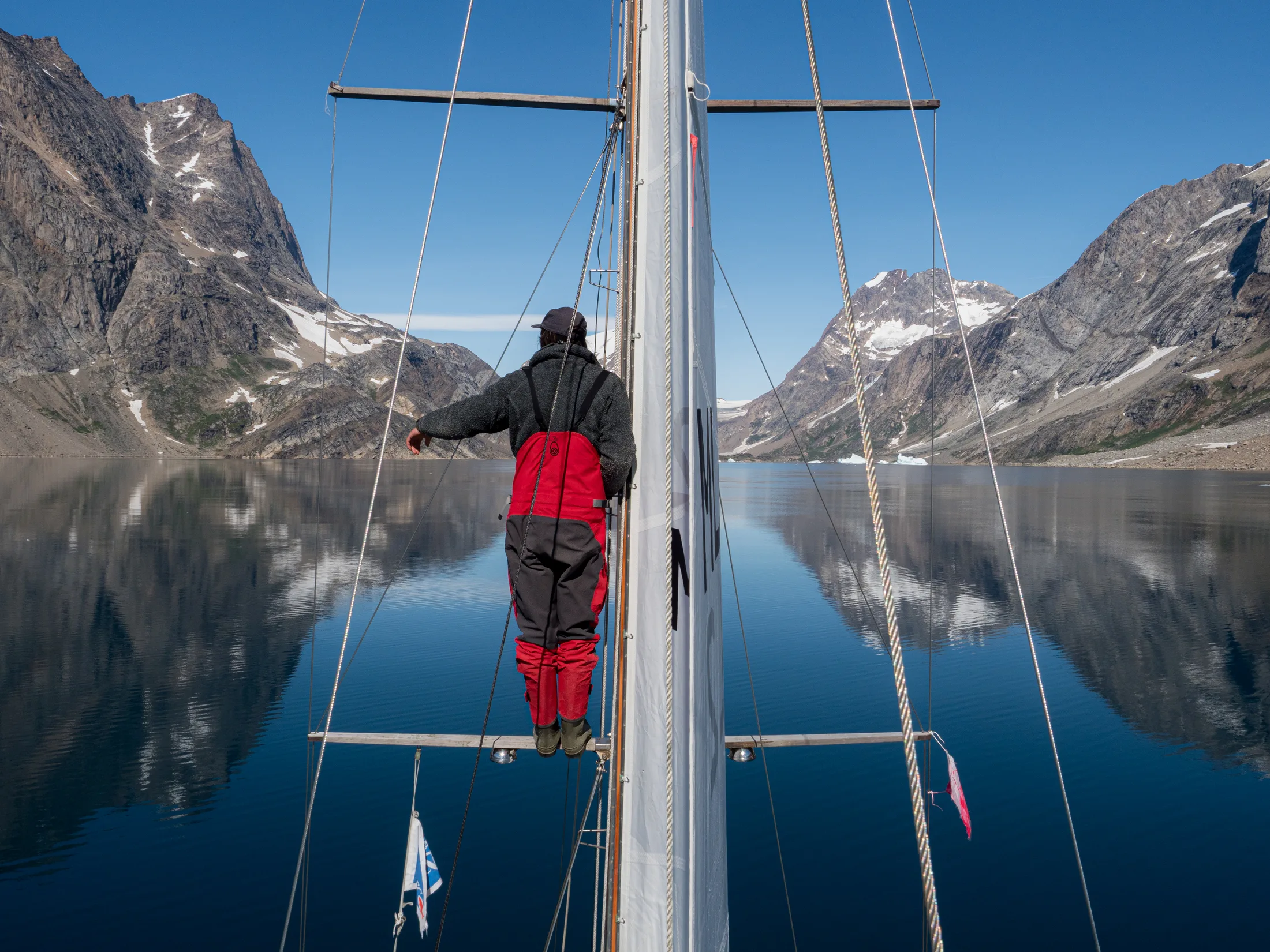
Entering Graah Fjord!
6 August: Catabatic gusts force 5/6. Anchor dragged 60m around 2:00. Wind died at 5:00. Went on a first scouting mission up the north branch of the fjord, mostly dry glacier. Reached the col in foggy conditions before heading back. Identified a scramble descent from a ridgetop that looked promising.
7 August: Headed up the southern valley to investigate a climb up to the ridge. Abandoned the attempt due to complicated descent and poor rock (see Section 5.6). Scouted further up the valley and found promising southwest-facing slabs with better rock quality in their first half.
8 August: Early start to the slabs identified the day before. Approach approx. 2.5km. Meg and Lara climbed ‘Right-Hand Slab Wall’ 240m VS 4b, Charlie and Will climbed ‘Original Route’ 240m VS 4b. Parties reunited and decided to retreat due to rapidly decreasing rock quality. Down in four abseils.
9 August: Climbed on Boat Buttress directly north of the anchorage. Lara and Meg climbed ‘Septic Arthritis’ 550m E2 5c; Charlie and Will climbed ‘The Flying Teabag’ 500m E1 5c. Descent by the previously identified scree slope onto the glacier, approx. 2km up the valley.
10 August: Boat team excursion with Meg, Lara, Bella and Gabi up the northern valley to look at the glacier. Charlie and Will took the our dinghy (the Phoebe Rose) to the ‘Iceberg Zoo’ on the east side of the island.
11 August: Team attempt for the ridgetop above Boat Buttress. Scrambled up the scree slope used as a descent on 9 August and scrambled up the eastern edge. A cairn was found where the SAC team topped out their route ‘Imaqa’ at approx. 1000m asl. We continued along to the highest point on the ridge, recorded as 1520m. Descent via the same route.
12 August: Lara and Will climbed ‘Solar Eclipse’ 150m E1 5b on William’s Step, an east-facing wall left of a waterfall 3.3km up the south valley. Meg and Charlie … Grib files showed a window to return to Kulusuk on the 13th.
13 August: Departure at noon. Thick fog for 4 hours heading east through the ice band, clear by nightfall.
14 August: Orca sighting a few meters from the boat. Pleasant passage with light winds.
15 August: Arrived in Kulusuk by late morning. Returned the rifles to Pirhuk cabin. Did a few repair jobs (fixed rip in the genoa, replaced shackle on the mainsheet).
16 August: Last morning in Greenland! Weighed anchor at 8:00. Motored east for 20 hours into light headwinds with a large low pressure system to the south. Lara’s right ring finger began to look swollen and feel hot. She began taking amoxicillin in case of risk of infection.
17 August: Wind came round, pointed the course to Vestmannaeyjar. Noticeable increase in air and sea temperature. Accompanied by a pod of pilot whales!
19 August: Ran the fuel tank dry. We had 50 litres of diesel in jerry cans, enough for 24 hours of motoring. Began to be much more sparing with the engine usage, moving at speeds between 1 and 4 kts.
21 August: Saw a breaching humpback. Turned on the engine as we approached Vestamannaeyjar and tied up at 16:30. Lara went to the hospital to get her finger checked and was put on IV antibiotics for four days (still living on board). She was advised to fly home from Reykjavik for further testing in the UK.
22-24 August: We remained in Vestmannaeyjar as the weather looked poor for departure until the 25th. Did chores/repairs.
25 August: The Kingfisher said goodbye to Lara who was flying home later that day. Left Vestmannaeyjar marina at 4:30.
26-27 August: Left pre-dawn. Glassy waters. Lots of motoring. Harvest moon.
28-30 August: Strong northerlies came in, averaging some 7 knots for a while with a peak of 8.3kts. Rounded butt of Lewis at 5 kts. Arrived late at night, collapsing into Ullapool in a heap of smelly clothes.
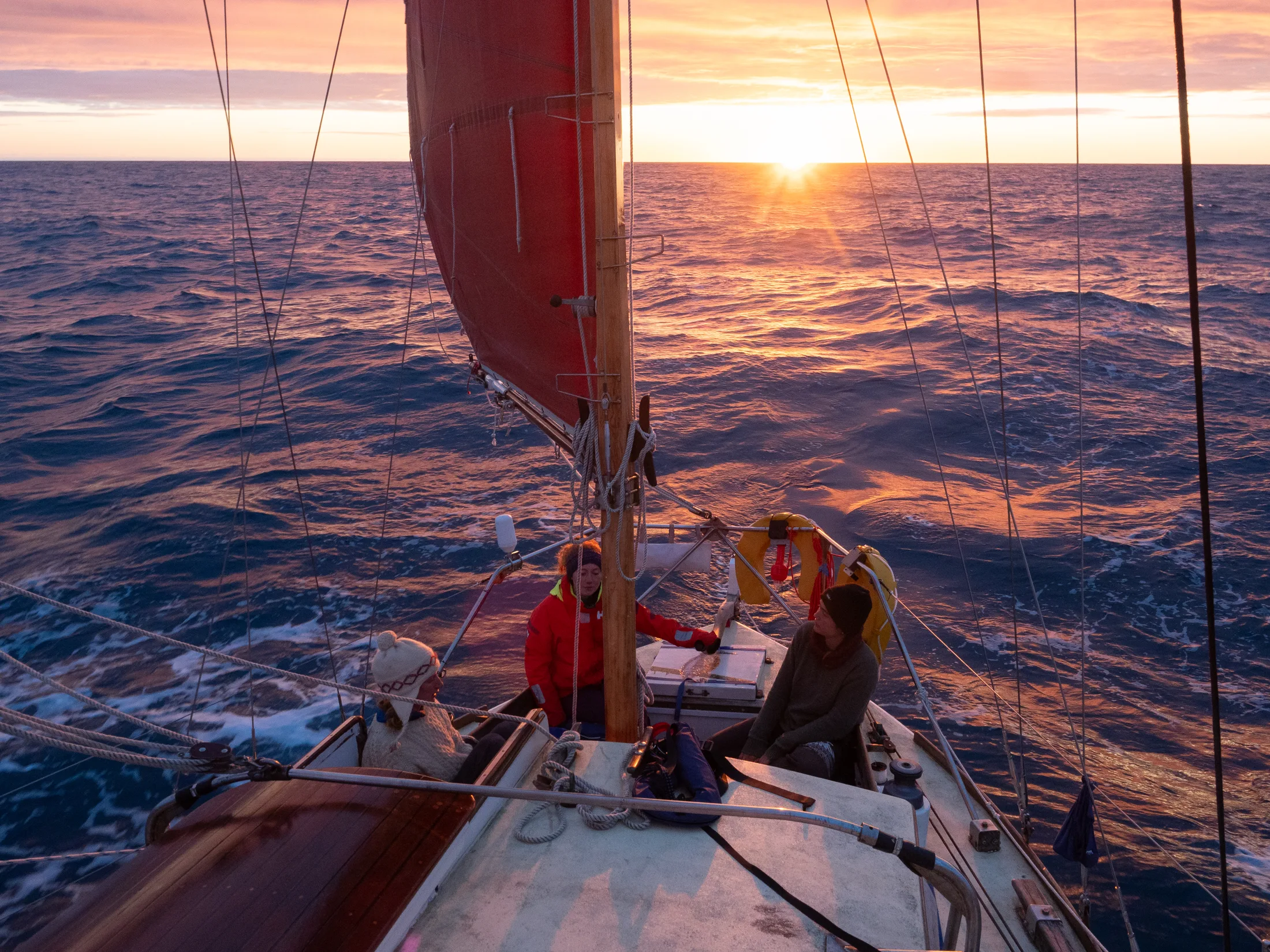
Sunset Home.
4. Preparation & Research
4.1 Contacts
Written by Lara Novak
The southeast coast of Greenland is relatively remote. We found reports from three notable trips in the area that provided useful information regarding both sailing logistics and climbing information. Mike Libecki, who has been on several expeditions to Skjoldungen Fjord between 2002 and 2017, was very helpful with information on areas with good climbing potential in the Skjoldungen area. Matteo della Bordella, who was part of a 33-day expedition in 2024 kayaking and climbing, gave useful information regarding their permit application process and alternative climbing areas nearer to Tasiilaq.
In early 2025, we shifted our focus to the fjord north of Skjoldungen, Graah Fjord (see Section 4.1 above). At the time we had not found any reports of expeditions here. In December 2025, the article about the SAC women’s expedition, led by Naomie Bürki, came out. They provided us with information about the locations and quality of the climbs they had done. Their skipper, Vincente Castro, gave us descriptions of the two potential anchorages (Graah Havn at the head of the fjord and the second at the head of the fjord).
Matt and Helen Spencely, who run Pirhuk Mountain Guiding in Kulusuk, were exceptionally helpful both in the planning stages of the expedition and after our arrival. They provided information on local ice conditions and let us deliver our rifles to their address. They advised us on where to ask about the tools we needed to open the gearbox, and offered to tow Kingfisher to a safer anchorage should a major north-easterly storm arrive while we were still unable to move. Matt also talked us through his polar bear safety protocol and provided information on climbing areas near Kulusuk in case we were unable to regain mobility in time to continue south.
4.2 Permits
Written by Lara Novak
We experienced some difficulty when looking into the Greenlandic permitting requirements for our trip. In accordance with the guidelines given by the Greenlandic Government (Naalakkersuisut), we established that we needed to apply for a type A (tourism/logistics) permit ( https://expeditionsgreenland.gl/en/apply-for-an-expedition-permit/tourism-logistics-expeditions-a), at least 12 weeks prior to departure. We needed an insurance provider that would cover up to DKK 1000000 for expedition SAR operations, as well as DKK 280000 for individual evacuations. The first stage of this process is paying a non-refundable application fee of DKK 4000 (£463). It then became clear that we needed a provider prepared to sign an insurance statement (https://expeditionsgreenland.gl/en/templates/insurance-statement) declaring that they are willing to pay out the above sums. It proved difficult to find an affordable insurance provider that would be willing to sign this statement.
As a result, we reconsidered the nature of our proposed climbing objectives. Our original plan had allowed for a temporary base camp further up the valley, from which we could attempt objectives a considerable distance from the boat. However, as we were unable to find an insurance provider willing to cover this, we instead focused on objectives that would keep us on land for no more than 24 hours at a time, meaning no permit was required. Unfortunately, we had already paid the non-refundable application fee by this time.
It is important to note that the rules and regulations are currently being readjusted (several of the pages on the Greenlandic Government (Naalakkersuisut) permit website are under construction) and that this information should not necessarily be considered applicable for future expeditions.
4.3 Firearms
Written by Lara Novak
We were advised to buy rifles rather than rent them, as the rentals available in Tasiilaq have been known to be dodgy at times, as well as being much heavier and generally harder to use. It seemed that if we were actually going to need the guns it would be best to have fully reliable, easy-to-use ones, especially given the general lack of gun knowledge in the expedition team.
We bought two Tikka T3x 30.06 rifles from the marine broker Orsiivik ApS in Nuuk. This was done very easily over email at the beginning of July to allow ample time for them to be shipped to Kulusuk. Buying the rifles was significantly more expensive than renting them, but we had arranged with Matt to sell them to him for half price on our return journey, making our total cost slightly over that of renting two rifles. Each gun cost 8499-kr (£975), and the shipping for both cost 1050-kr (£120).
Matt very kindly gave us 8 soft-point bullets. It is advised to use soft-point bullets for polar bear defence because their copper jackets hold them together, allowing them to penetrate deeper before expanding. They are therefore more effective in killing a large animal like a polar bear with fewer shots, which is preferable both for the safety of the person being attacked and for ensuring that the bear’s death is as humane as possible. We purchased 20 full-metal jacket bullets from the store in Kulusuk to use for target practice and as spares.
4.4 Boat Refit
Written by Meg Loftus
Preparing a 50 year-old wooden boat for her first trip to the Arctic is quite a serious undertaking. We had left an expansive 6 weeks to achieve this, and in hindsight we would probably recommend double or even triple this. Our saving grace in our great naivety was Johnson and Loftus Boatbuilders, of which one half is Meg’s father, and their levels of panicked action that maybe only familial ties can induce. Additionally, the crew of the Kingfisher worked hard at sanding, scraping, painting, cleaning, sawing, drilling, screwing and varnishing, with varying levels of success. At the very least we left the boatyard with more practical skills than we started with.
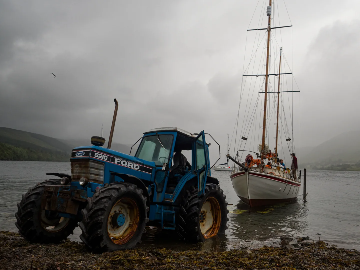
Kingfisher Going Back in the Water.
The jobs required included:
-
Removing her Beta 43 engine, replacing the engine feet, mounting brackets and fuel injector pipes as well as repainting all over.
-
Removing and cleaning the fuel tank which had suffered from ‘diesel bug’ for several years.
-
Replacing the plywood boards beneath the fuel tank and domestic batteries.
-
Remaking the rope locker hatch, this was done in plywood because we are not very good boatbuilders, but Will did paint a very pretty kingfisher on it.
-
Removing the water tanks, cleaning and welding patches onto them as they had been leaking.
-
Removing and inspecting the keelbolts, which were in good shape, and the arm bolts (between the floors and the frames) which were in bad shape. Replacing the arm bolts.
-
Adding extra fastenings between the floors and the wood keel and along the garboard planking.
-
Installing a manual pump to act as both sink drain and backup bilge pump.
-
Adding running backstays to straighten the mast.
-
Repainting the hull, cabinsides and deck, varnishing the hatch and doraid boxes, oiling the toerails and trim.
-
Installing various wiring systems, including the new AIS system planned by Will and Charlie (see section …), an external satellite phone antenna, new engine and domestic battery banks, extra charging ports and replacing a damaged navigation light.
-
Various assorted deck fittings including new sturdier stanchion bases for the safety rails, a jammer for the bobstay tensioning line and lashing points for the liferaft and dinghy.
-
Cleaning the bilge - not to be laughed at!
-
Sewing lee-cloths and cushion covers to facilitate sleeping in the cabin berths.
Of these jobs, Tim and Dan did the engine, water tanks, bolts and fastenings. They provided extensive advice and assistance in the other jobs but most of the grunt work was done by the Kingfisher crew.
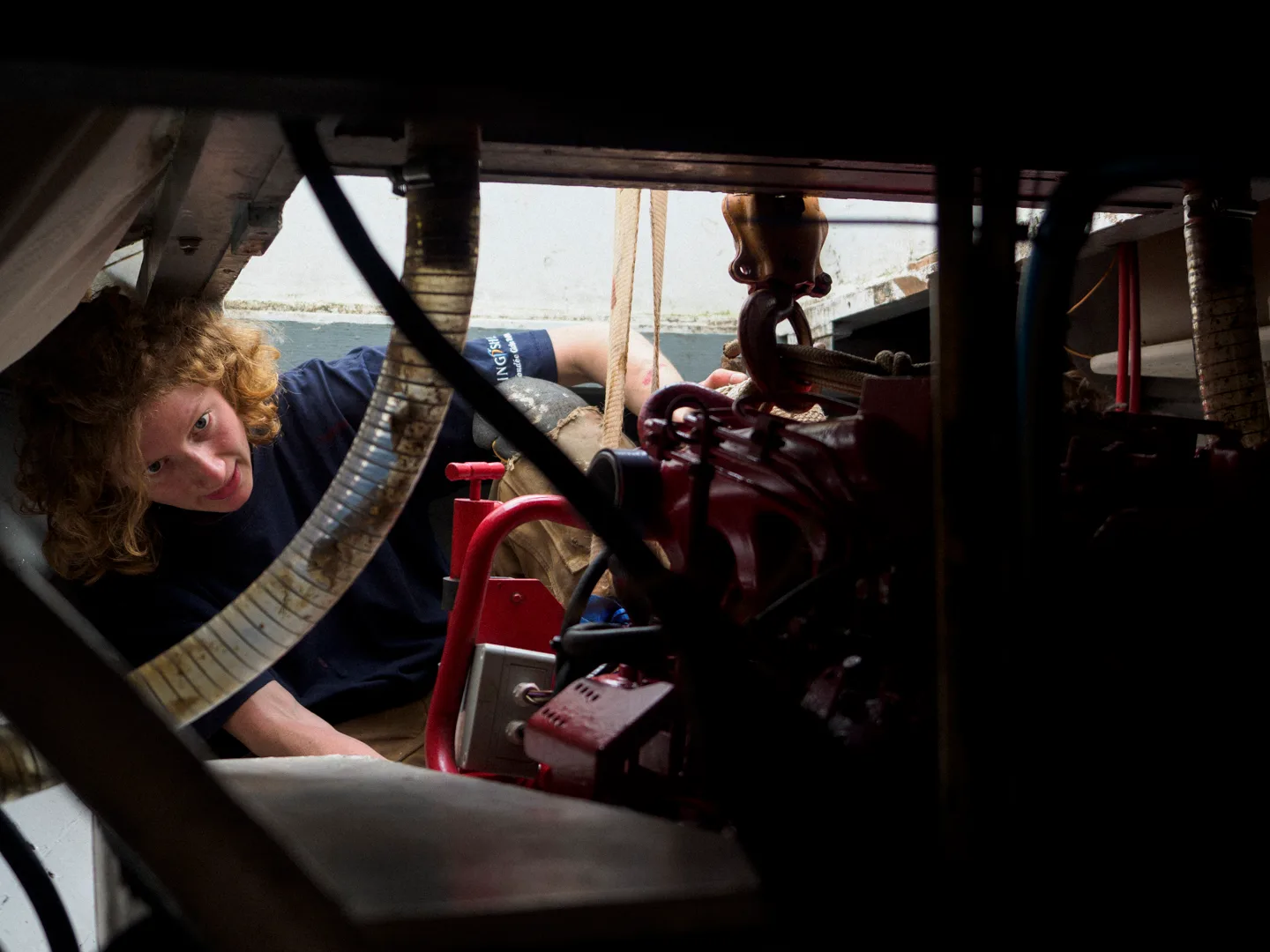
Engine Going Back in Post-Overhaul.
In addition to all of the actual work being done, Kingfisher needed a lot of new things. The main ones are outlined below.
-
Liferaft: We went for a more expensive 24 hours+ liferaft, which is something to bear in mind when arctic sailing - 24 hour liferafts only contain supplies to last 1 day and must be supplemented with a grab bag.
-
Batteries: These are used for starting the engine as well as domestic usage, so it is important they work. Cold reduces their efficiency as well as making engine starts harder, so worthwhile getting something newish.
-
Outboard engine for the dinghy
-
Horseshoe buoys with lights and rope.
-
Anchor chain: Anchorages are often very deep in Greenland. We went for 70m of 8mm grade 70 chain, with 30m of rode. On top of this we carried spare rode which we used in Graah Fjord.
-
Mainsail and genoa
-
Secondary bilge pump
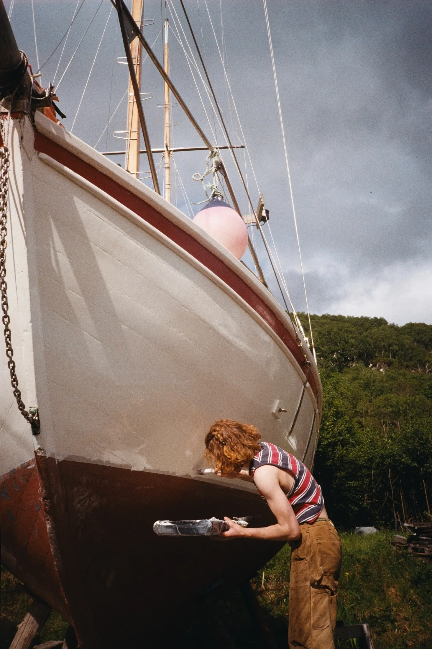
Painting Kingfisher.
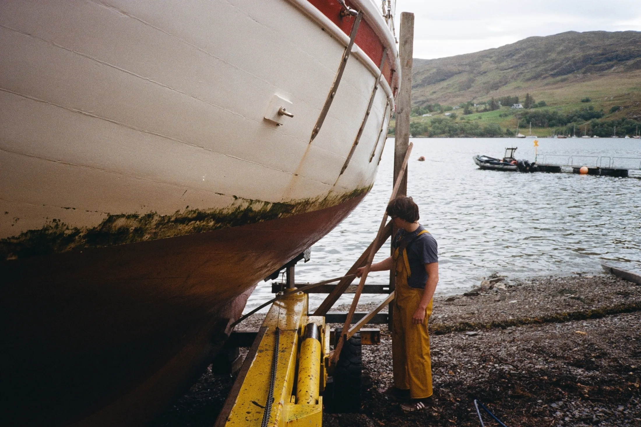
Cleaning post lift-out.
5. Trip Diary
5.1 Leg 1: Sailing to Iceland
Written by Lara Novak
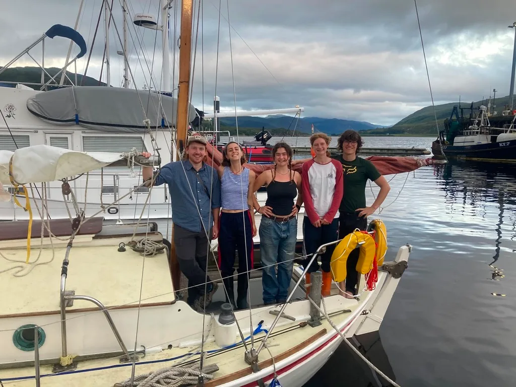
5/6 Team photo just before leaving.
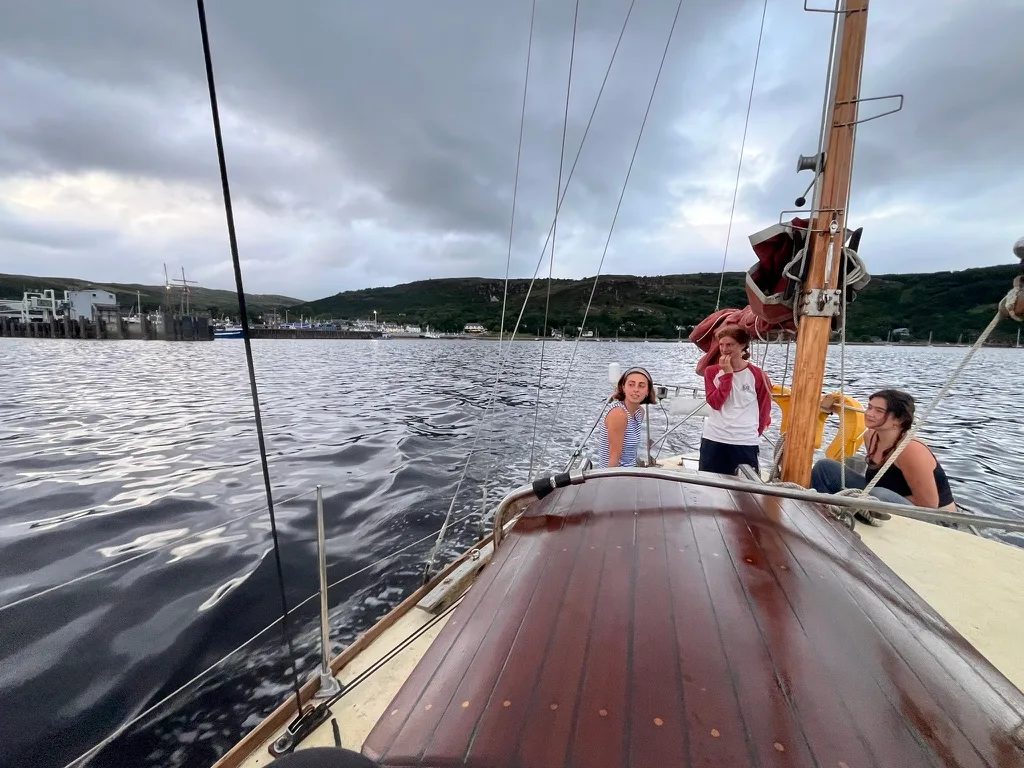
Leaving Ullapool Harbour.
By the 8th of July it had become apparent that to leave on our projected date (the 10th) would mean tacking up the Minch for two days against strengthening northerlies; we therefore decided to get two days of packing, cleaning, and last-minute jobs done in one, and leave on the evening of the 9th. We set off with five of our crew and would be joined by Gabi in Reykjavik.
The trip began with a few hours of very pleasant broad-reach sailing; however the wind quickly died and we turned on the engine. This resulted in an unpleasant motion over the rather choppy seas. Will (whose birthday it was) and Bella became quite ill and neither ate nor drank much for the next two days. Luckily by day three the wind had picked up enough to return to sailing, and with it came a wonderful silence and the rebirth of two of our crew members. The next three days were uneventful, with persistent light winds and dry skies.
5.2 Iceland
Written by Lara Novak
We arrived on the island of Vestmannaeyjar on the afternoon of the 15th of July, six days after leaving Ullapool. Our first stop was the swimming baths we had read about enthusiastically in the pilot guide. These exceeded expectations, even featuring a tiny climbing wall in the kids’ pool which, to their embarrassment, Charlie and Will reported as being ‘actually quite hard’.
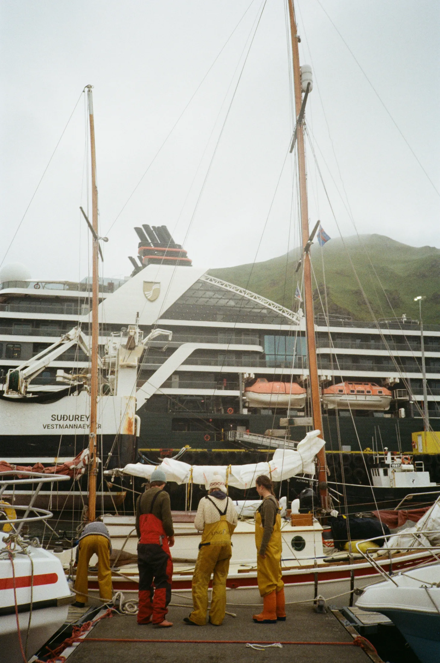
In Vestmannaeyjar harbour.
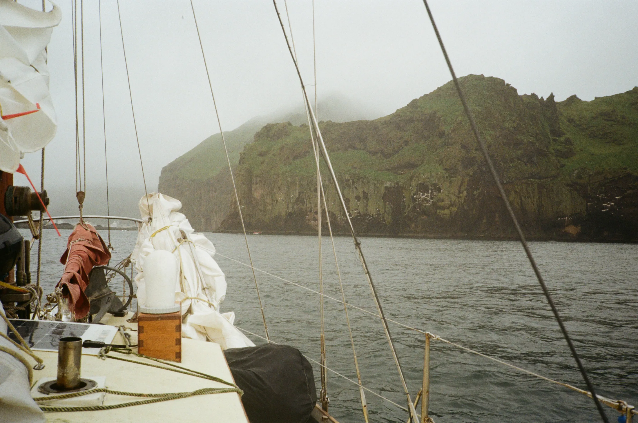
Arriving in Vestmannaeyjar.
We had decided to set off for Reykjavik on the afternoon of the 17th despite moderately strong westerlies (force 4/5) seeing as these persisted until after Gabi arrived in Reykjavik on the 21st. We spent several painful hours tacking through almost exactly $180^\circ$ (Kingfisher is not a windward-going boat even without being overladen). We eventually began tacking with the engine on to improve our heading; this worked, albeit with the caveat of worsening our jarring motion over the short waves. Watches were finished soaking wet and with salt drying in streaks on your face. Thank goodness for oilskins!
By morning the wind had subsided, and as we were rounding the Reykjanes headland the sea went glassy. By late afternoon the genoa was up and we were sailing peacefully downwind. We pulled into a very foggy Reykjavik harbour at 23:30.
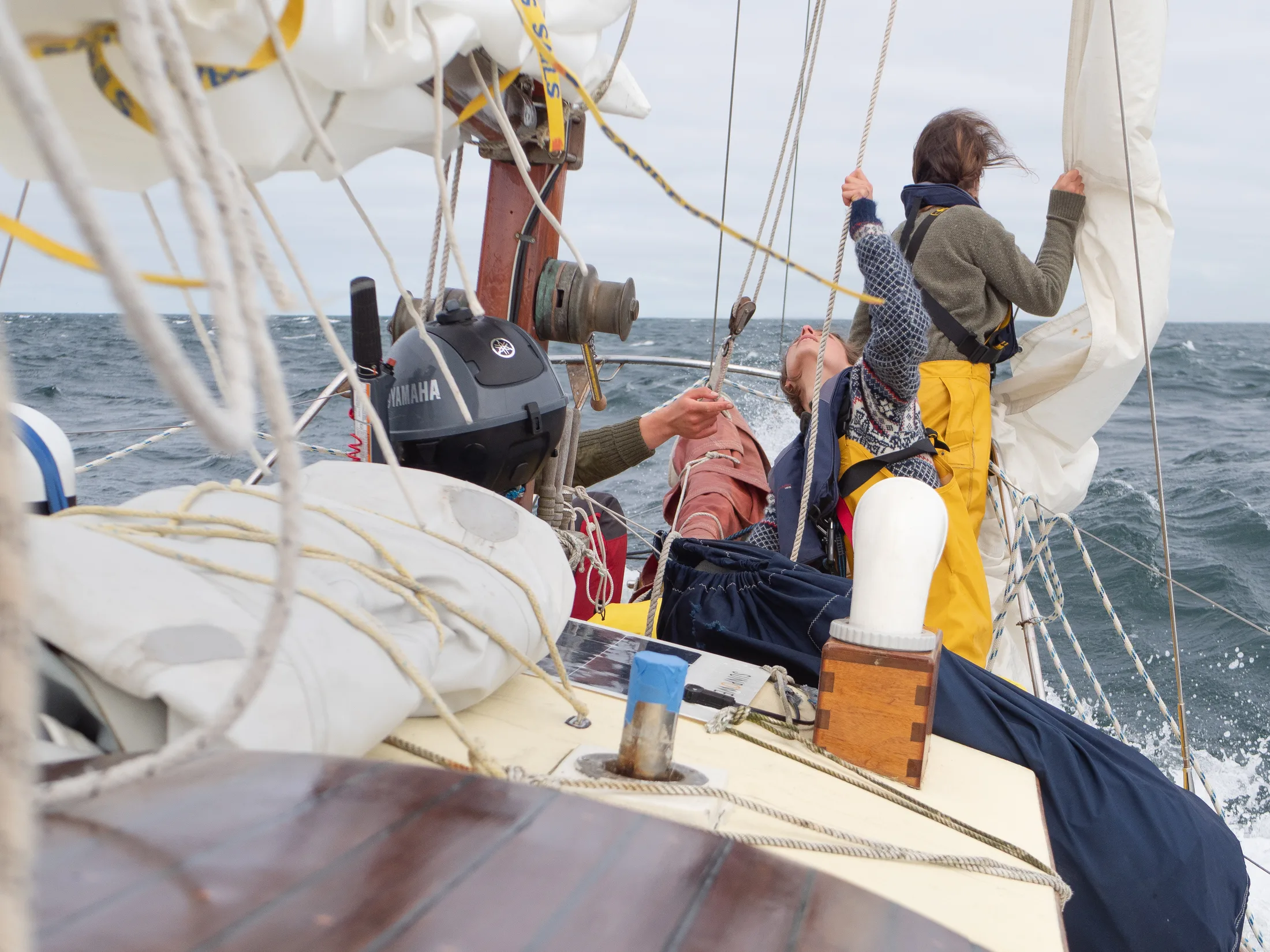
En route to Reykjavik
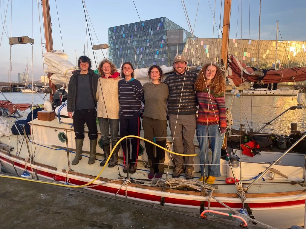
Team Photo Leaving Reykjavik for Greenland.
We met with customs on the morning of the 19th and then wandered through the city center, staring longingly at very expensive woolly jumpers and cafe pastries. We began some of our chores: exchanging our Icelandic gas bottle, doing large quantities of laundry, restocking fresh food, and fetching jerry cans of diesel from the petrol station. We also sent Charlie on a mission to hunt down some pencil flares, which unfortunately proved unsuccessful; they are very difficult to come by and cannot be shipped.
We were joined by Gabi at 2:00 on the 23rd of July and after a last day of small repairs and chores, we set off at 1:00 on the 24th under the first clear skies we had seen since arriving in Reykjavik.
5.3 Leg 2: Sailing to Greenland
Written by Lara Novak
After an initial 24-hour bout of seasickness all crew members felt well. The next few days were peaceful, straightforward and dry. All was going well until, on the 26th, I was awakened from my slumber by the sound of engine distress. Apparently forward gear wasn’t engaging. Meg descended into the engine bay to inspect while I turned the boat around to face toward Iceland again - it is not a great idea to head towards a potential iceband without engine power. After a few hours of fiddling around, forward gear seemed to be engaging again and we decided to continue on to Kulusuk to troubleshoot further. Whilst nervous, we all would have been a bit devastated to get so close but not quite make it to Greenland.
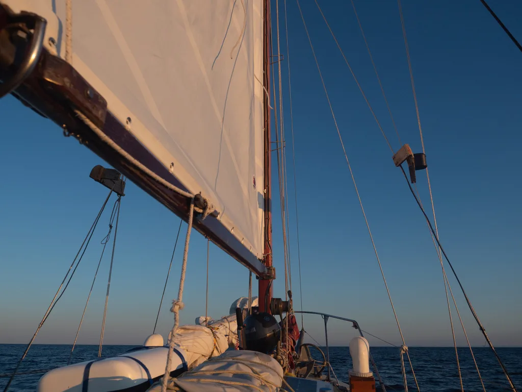
Higher latitude colours!
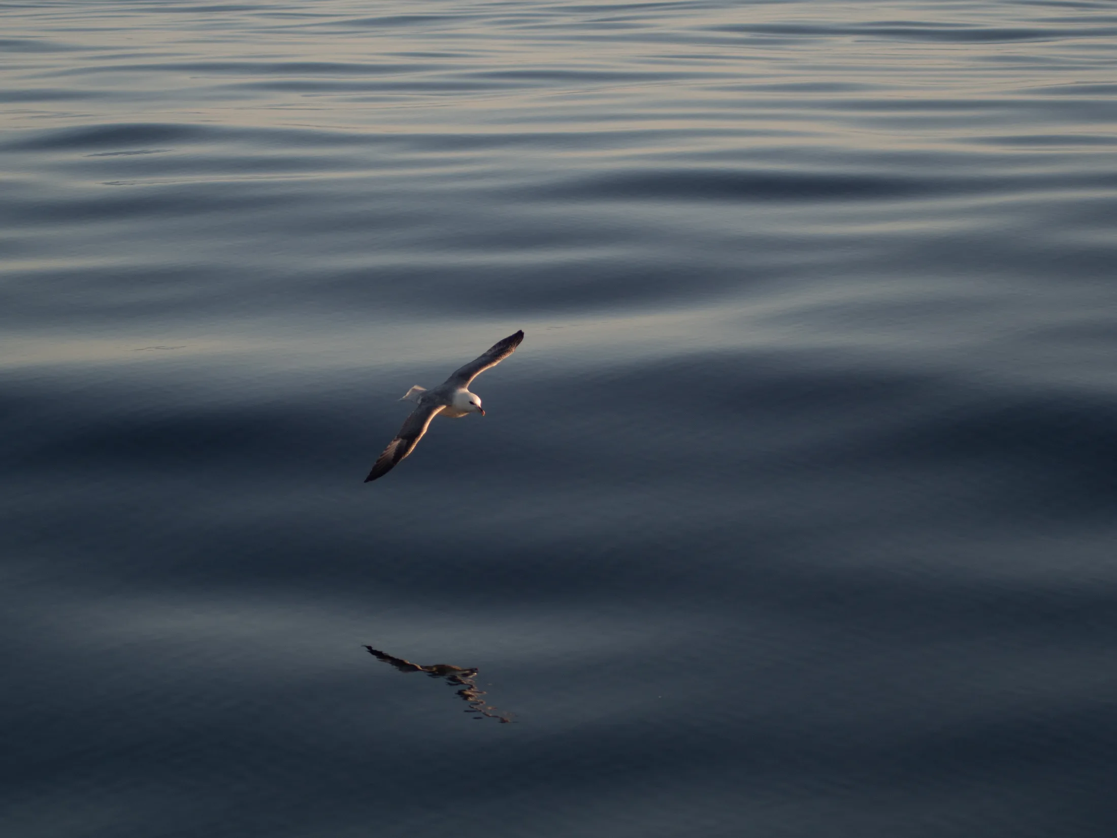
We saw lots of Northern Fulmars.
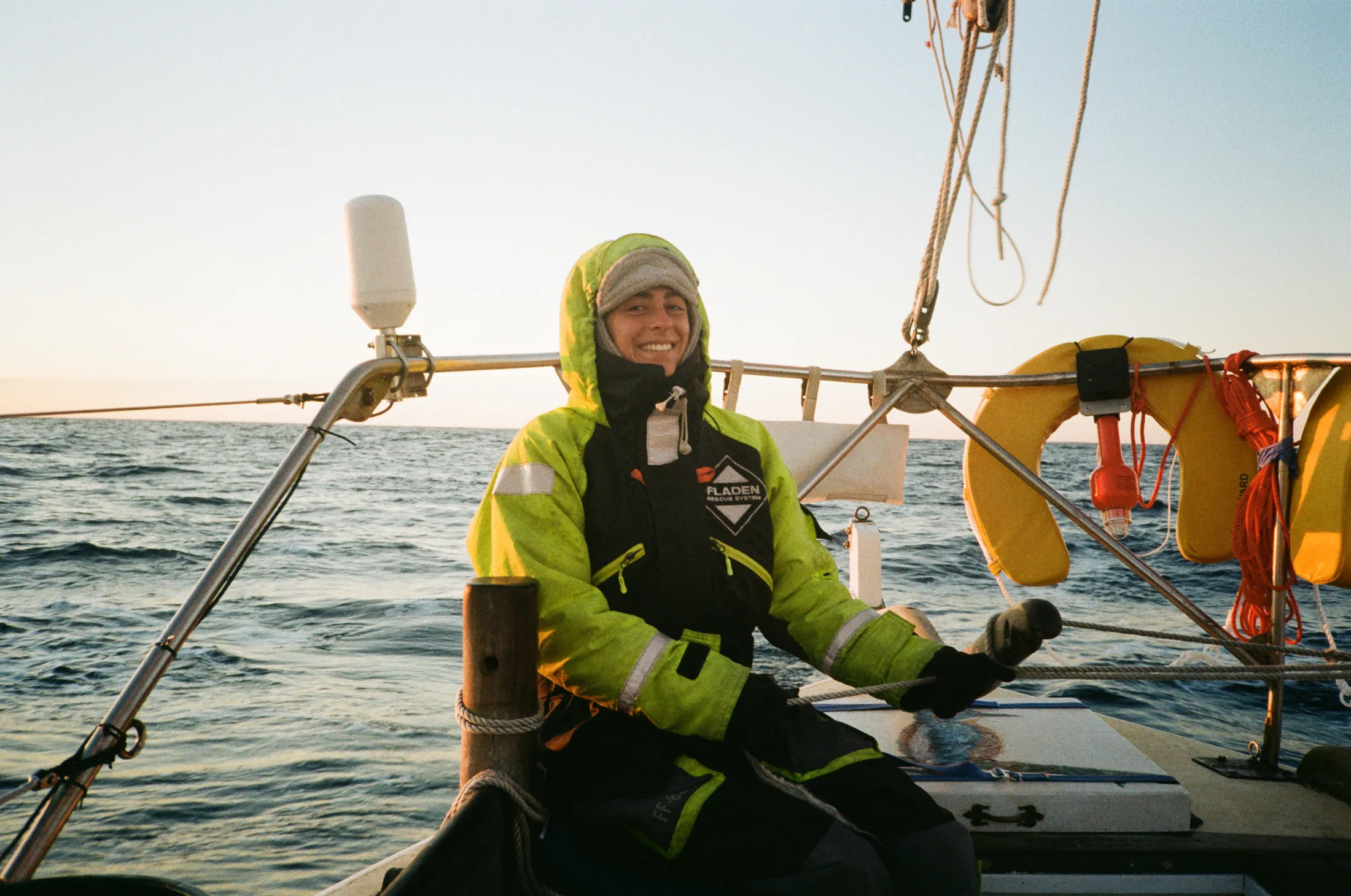
Getting Colder!
Approaching Kulusuk.
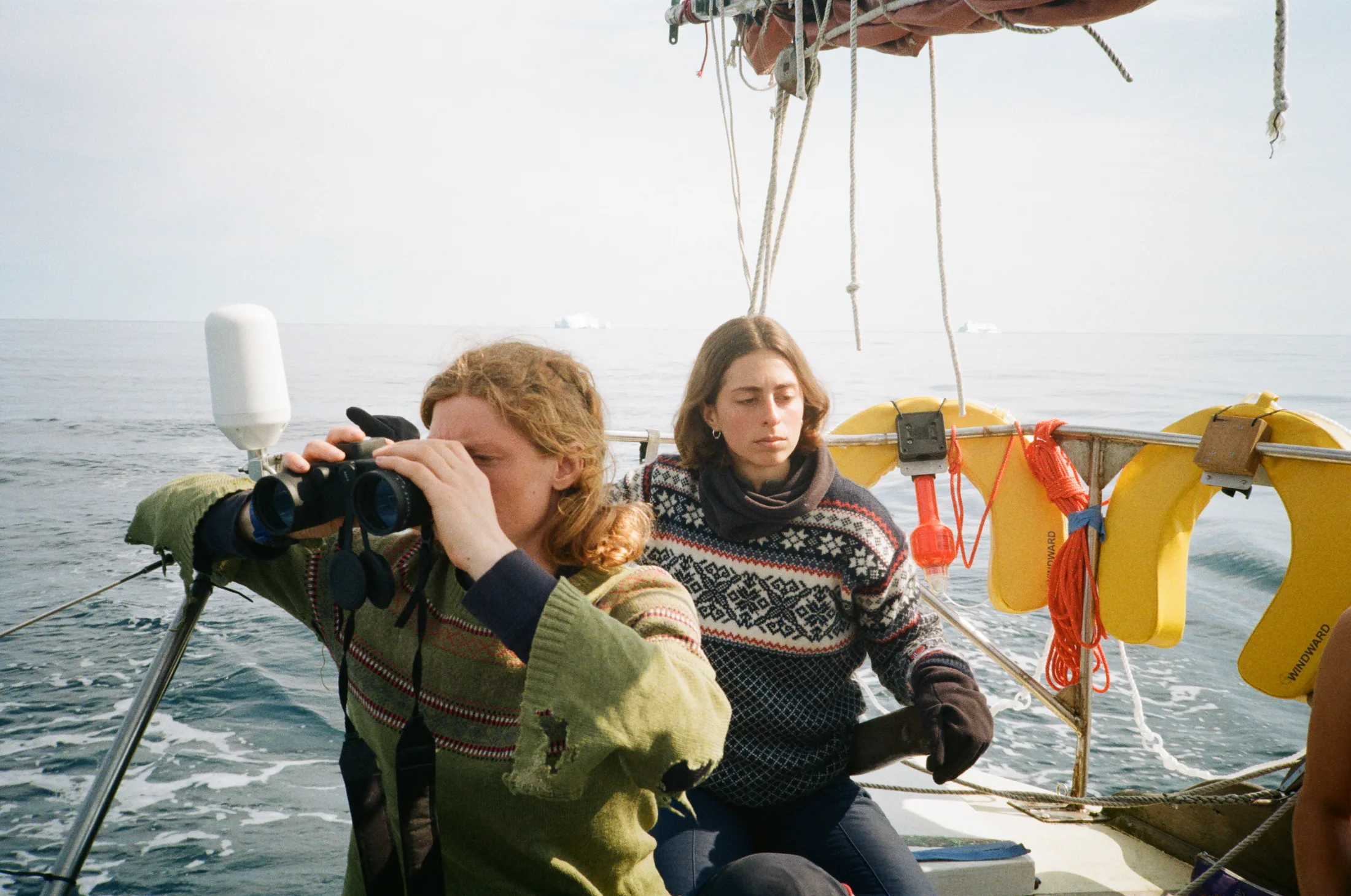
Looking out for bergs.
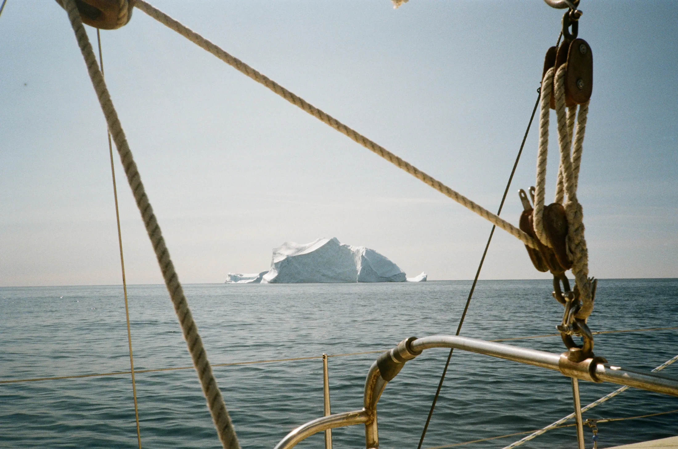
Our first berg sighting.
A big Sei whale circled the boat and stayed with us for much of the time that I was in the engine bay, which was a great comfort. At first things seemed very dire and I cried pitiously at the thought of our months of hard work wasted. Then we managed to get some engagement and things looked up. - Meg
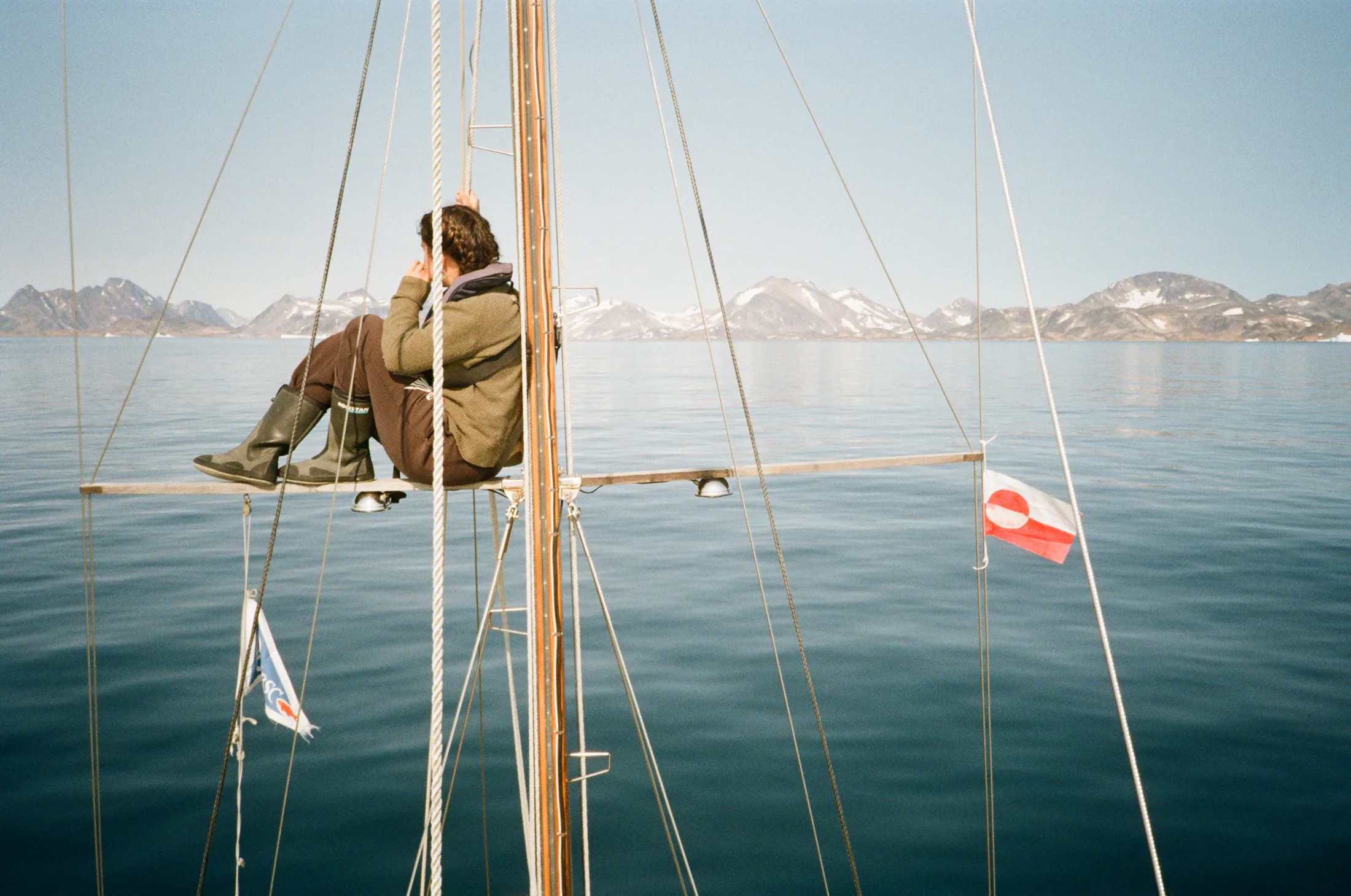
We motored the next 24 hours. By 4:00 it had become glacially cold, but it was a glorious morning nonetheless - the jagged coast spread out across the northeast skyline and we were starting to spot the odd berg here and there. We approached Kulusuk from the southeast with trepidation, as both the digital and paper charts are not infallible when it comes to showing underwater rocks. We were also worried about the GPS offset on the digital charts, but a rough three-point bearing reassured us that this was minimal. Bella was stationed up the mast to look out for any rocks or growlers, and all was going very smoothly until a few hundred meters out from the anchorage: the gearbox began to slip in gear. We anchored quickly and far out, filled with a mixture of dread at what this could mean for the rest of the trip, and relief at being safe.
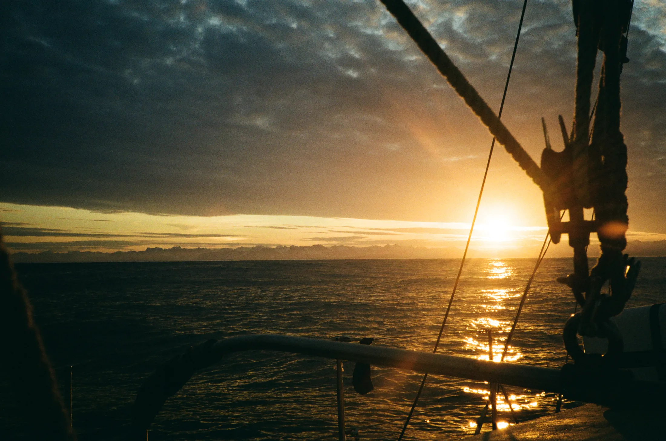
Our first look at Greenland!
5.4 Kulusuk
Written by Lara Novak
On the morning of the 28th July, we went over to the Pirhuk cabin, where the two guns were delivered. One of the guides there showed Gabi, Charlie, Will and I a large snowpatch 2km away that we could use for shooting practice.
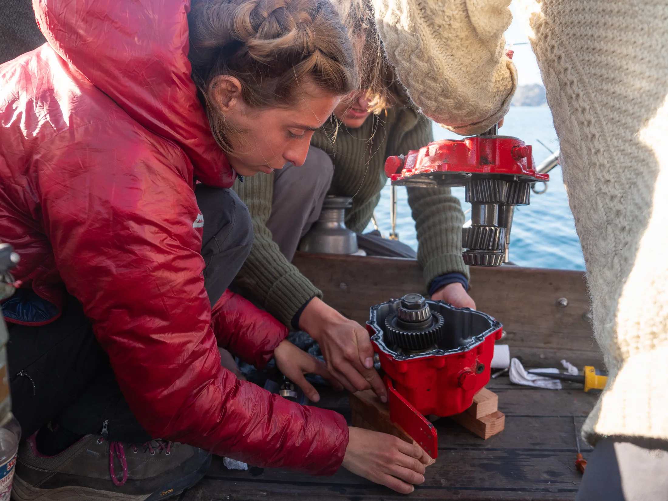
When we returned to the boat the gearbox was on deck, and it was now evident that the forward gear cone had worn enough that the gear no longer engaged. One solution was to open the gearbox and reverse the cones to gain at least forward gear again, but this required a 36mm socket that we did not have. In the meantime, we started looking into ordering a replacement gearbox in case fixing ours proved impossible. This was not without its complications, as the supplier in Iceland was out of stock, so it would have to first be ordered to them, then transported to Kelfavik airport and shipped via Icelandair Cargo.
On the 29th we went back to Pirhuk and were very warmly received with coffee and fresh bread, as well as the helpful advice to ask at the airport for the tools we needed. With the gearbox safely in a bucket, we set off. Walking into the single-room airport terminal none too inconspicuously, we asked to speak to the airport manager, Bendt. At first slightly taken aback by the six stinky strangers asking for help, he proved to be very friendly. His colleague Mugu took us to the workshop, where the gearbox was opened within seconds by a 36mm socket and a powerful impact driver. With the cones successfully reversed, our situation was looking up. Back on board after dinner, we sealed the gearbox back together and Meg crawled into the engine bay to reattach it, to be tested the following day.
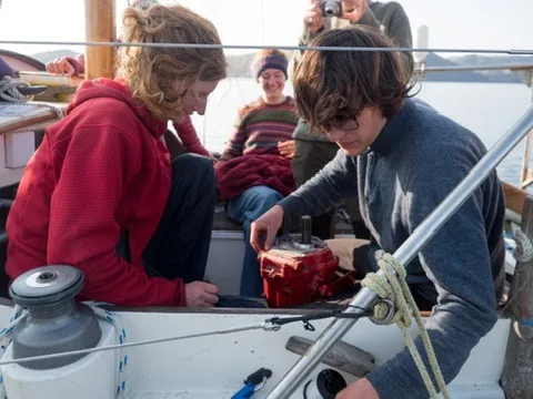
Getting the gearbox open.
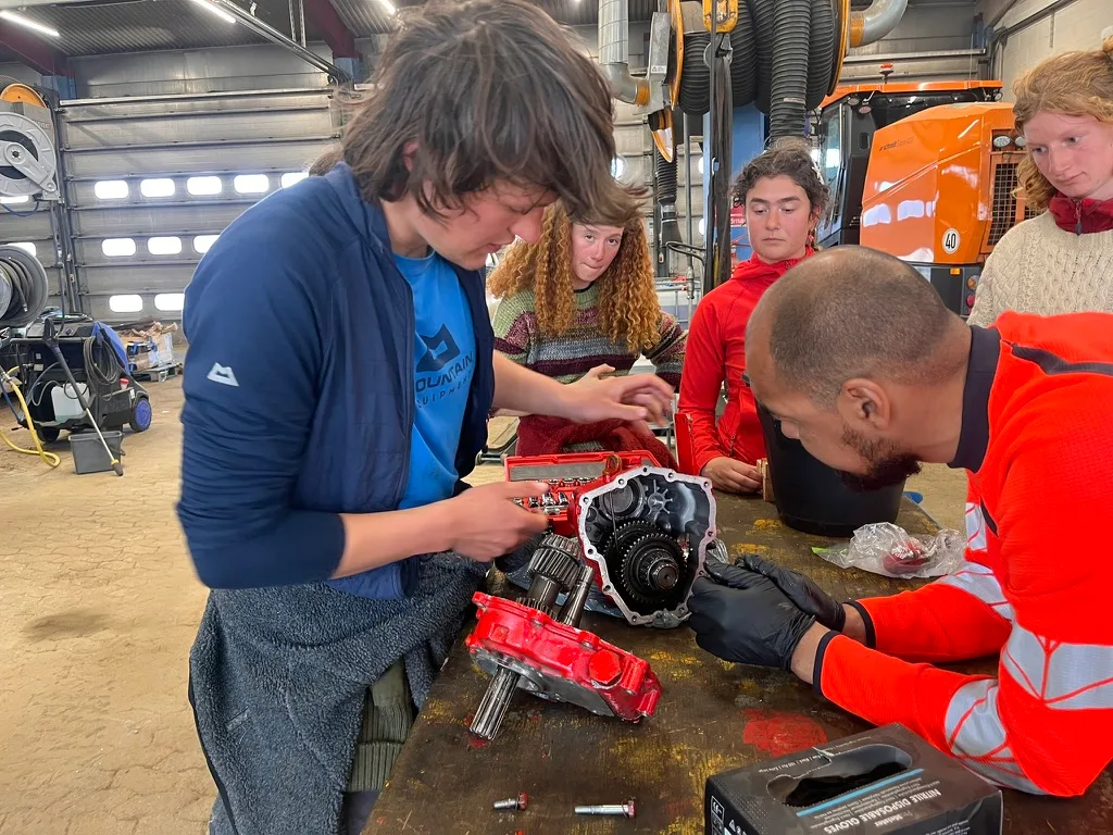
Help from Mogu to get the clutch cone out.
Resealing the gearbox.
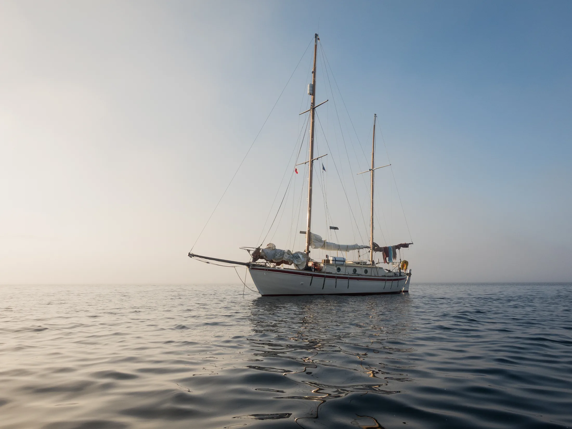
A common foggy sight in Kulusuk.
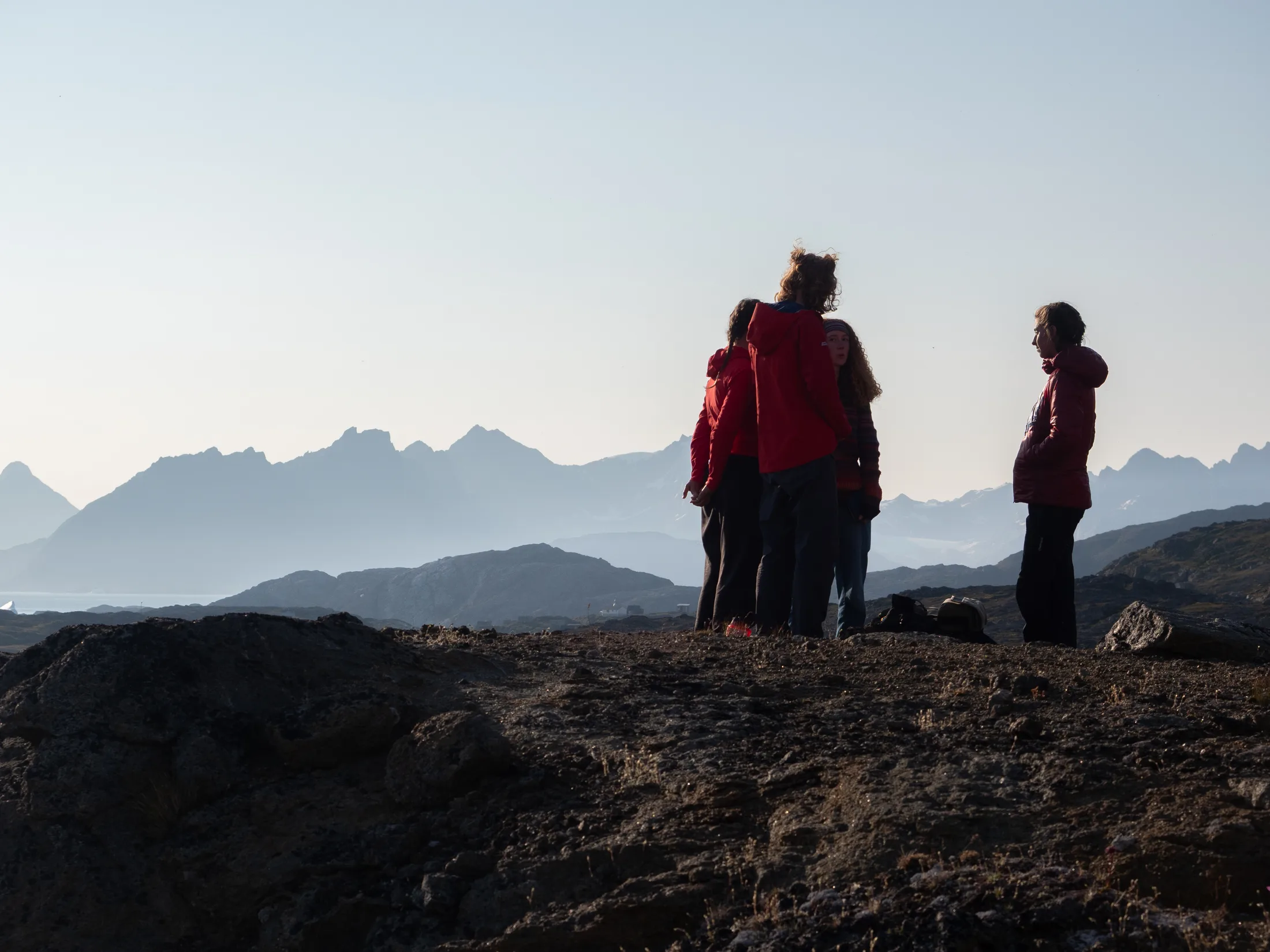
The Ammassalik hills in the distance.
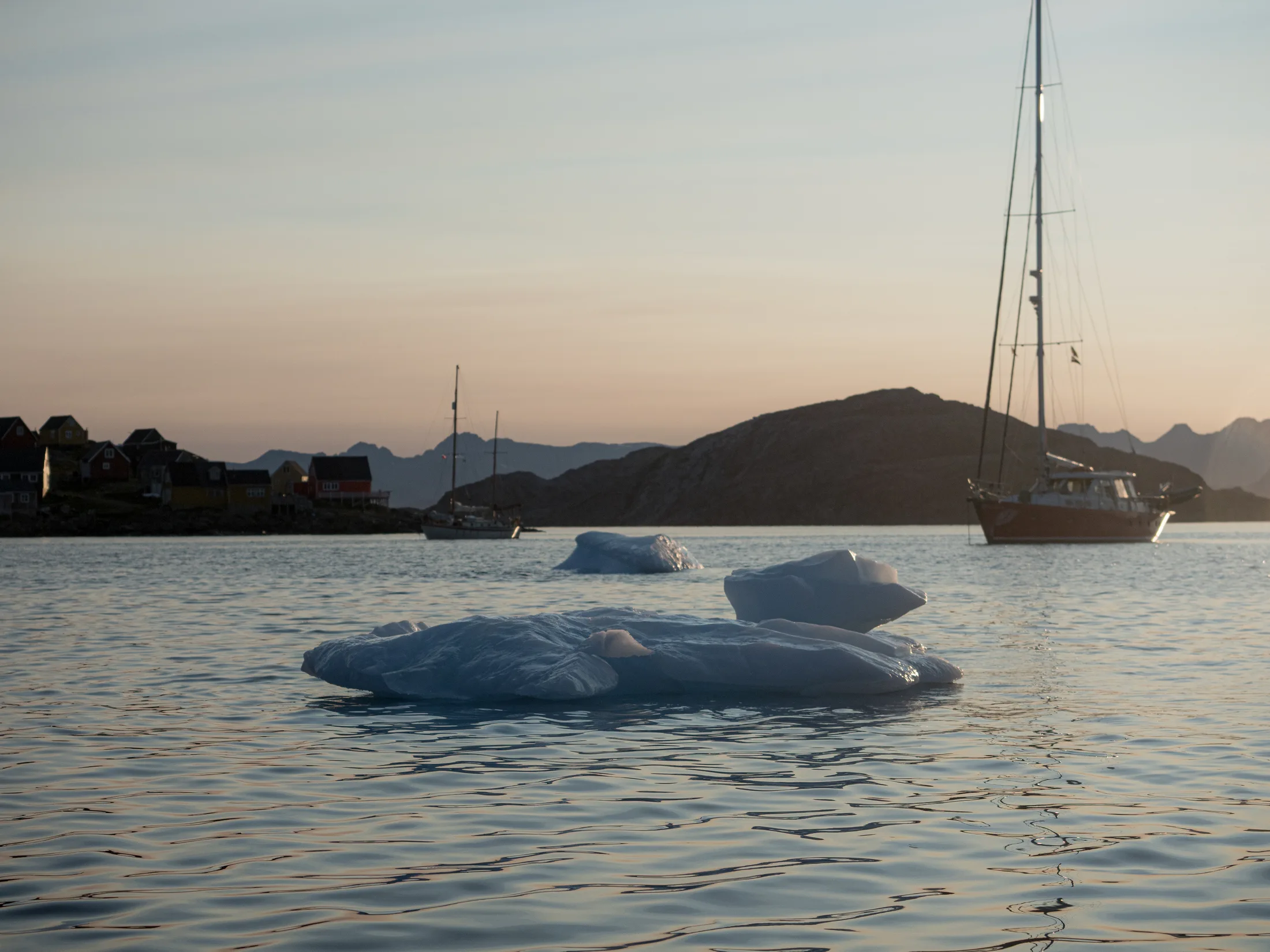
At anchor is Kulusuk.
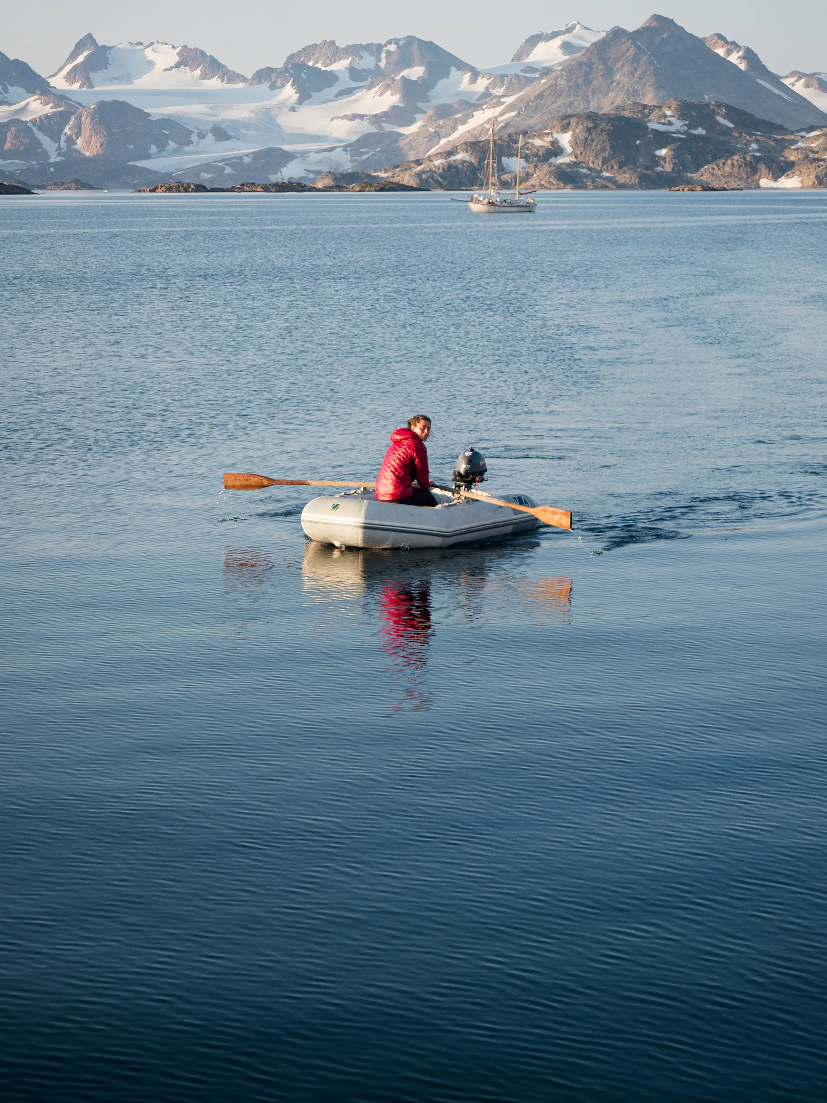
Rowing to shore to save on petrol.
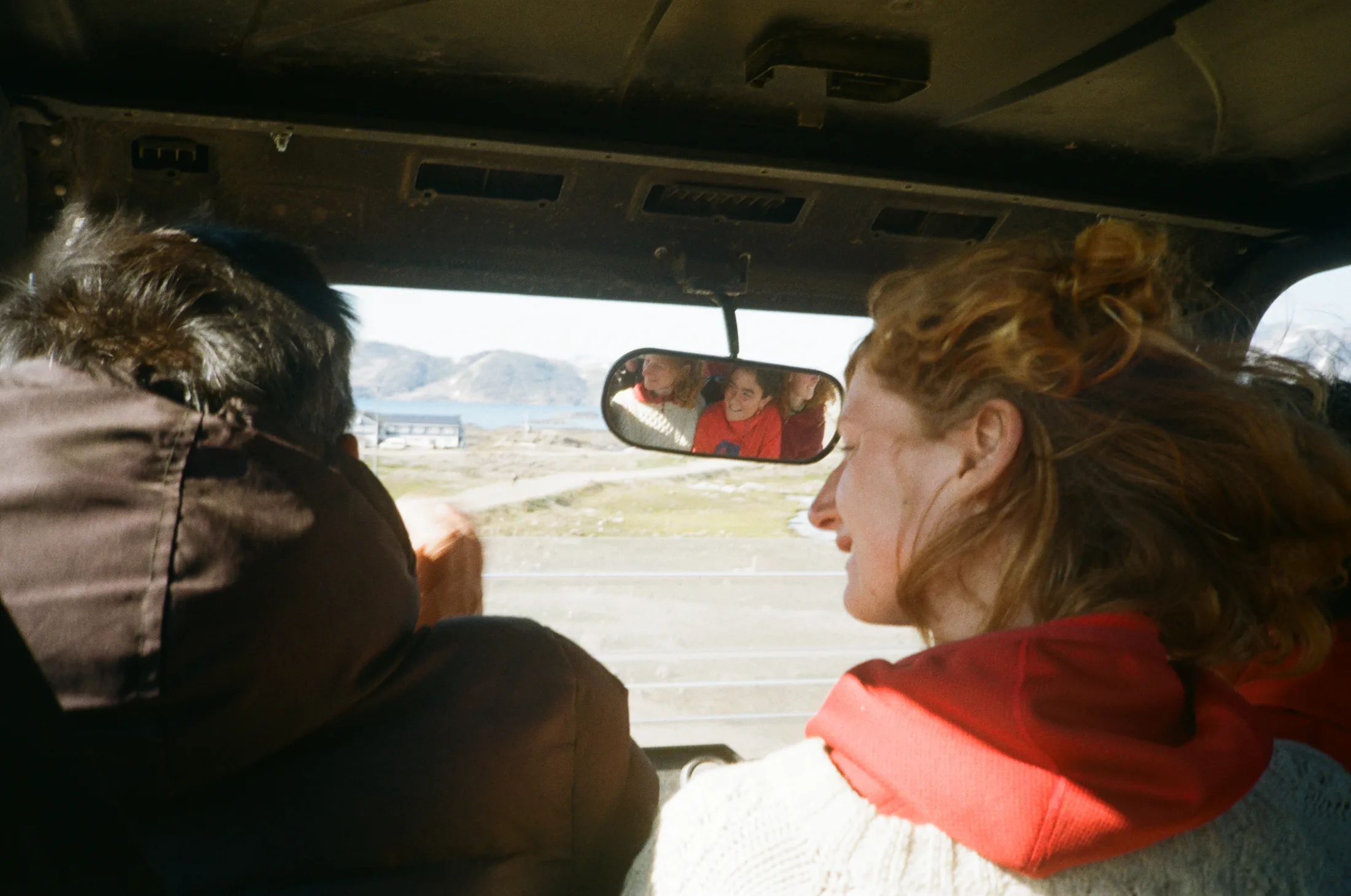
Getting a lift with Bendt after fixing the gearbox.
Test run for the fixed gearbox
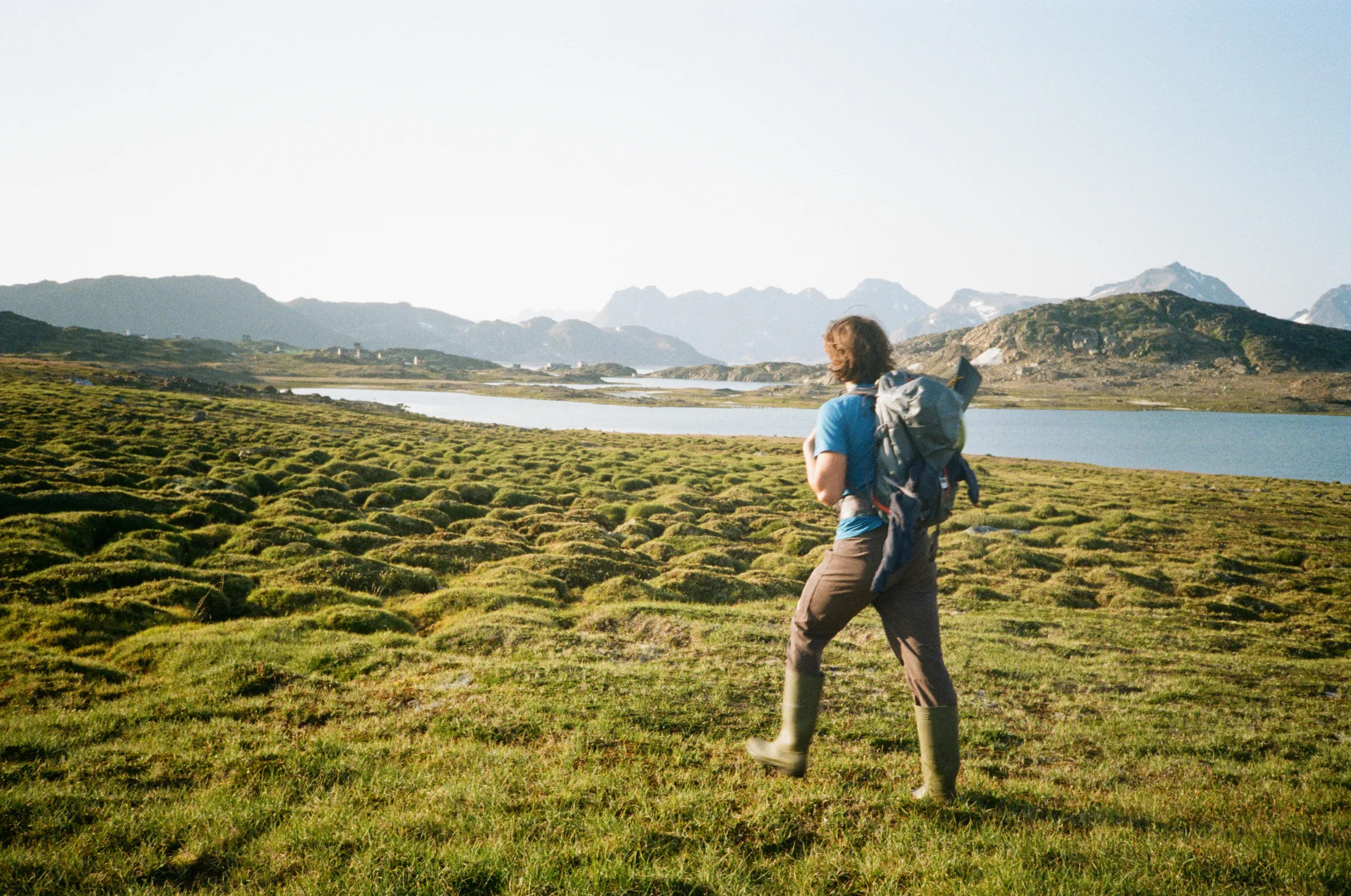
On our way back from gun practice.
The next afternoon, Bella and Gabi headed off to find some bouldering while Will and I wandered along the coast looking for something interesting to climb. To our chagrin, we stumbled upon a bolted crag! After making our way up one of these routes, we found a boulder-filled gully with some potential. Will put up ‘Liquid Porridge’ 20m HS, and I put up ‘Stodgy Porridge’ 20m HS, a left-hand variation. Back on board, Meg and Charlie had successfully motored around Kulusuk Bay! Even better, the engine seemed to be engaging in both forward and reverse gears again - probably due in part to a change of ATF.
We had two days of weather to wait out before continuing south to Graah Fjord. Meg, Will, Charlie and I therefore set off into the Kulusuk fog to find a promising wall Matt had described at the southeast end of the island. The walk was 1.5 hours across amenable moss and bog. Meg and I chose a line up the left edge of a slabby bulge. We climbed ‘The Mists of Avalon’ 110m HVS 5a, which featured a nice burly crack in its second pitch. The boys had equal amounts of success, climbing ‘Clutch Cone Corner’ 110m HVS 5b, to top out at almost exactly the same time.
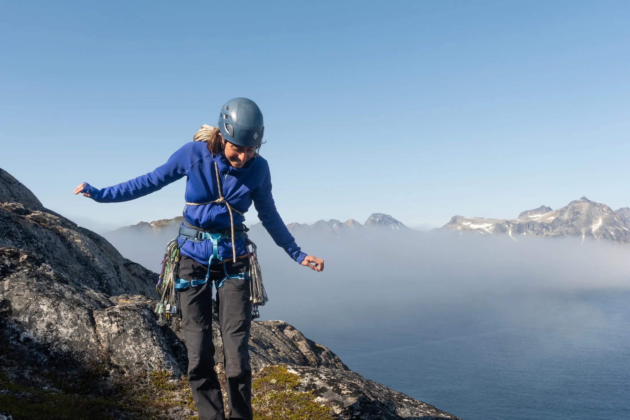
Our first taste of climbing in Greenland.
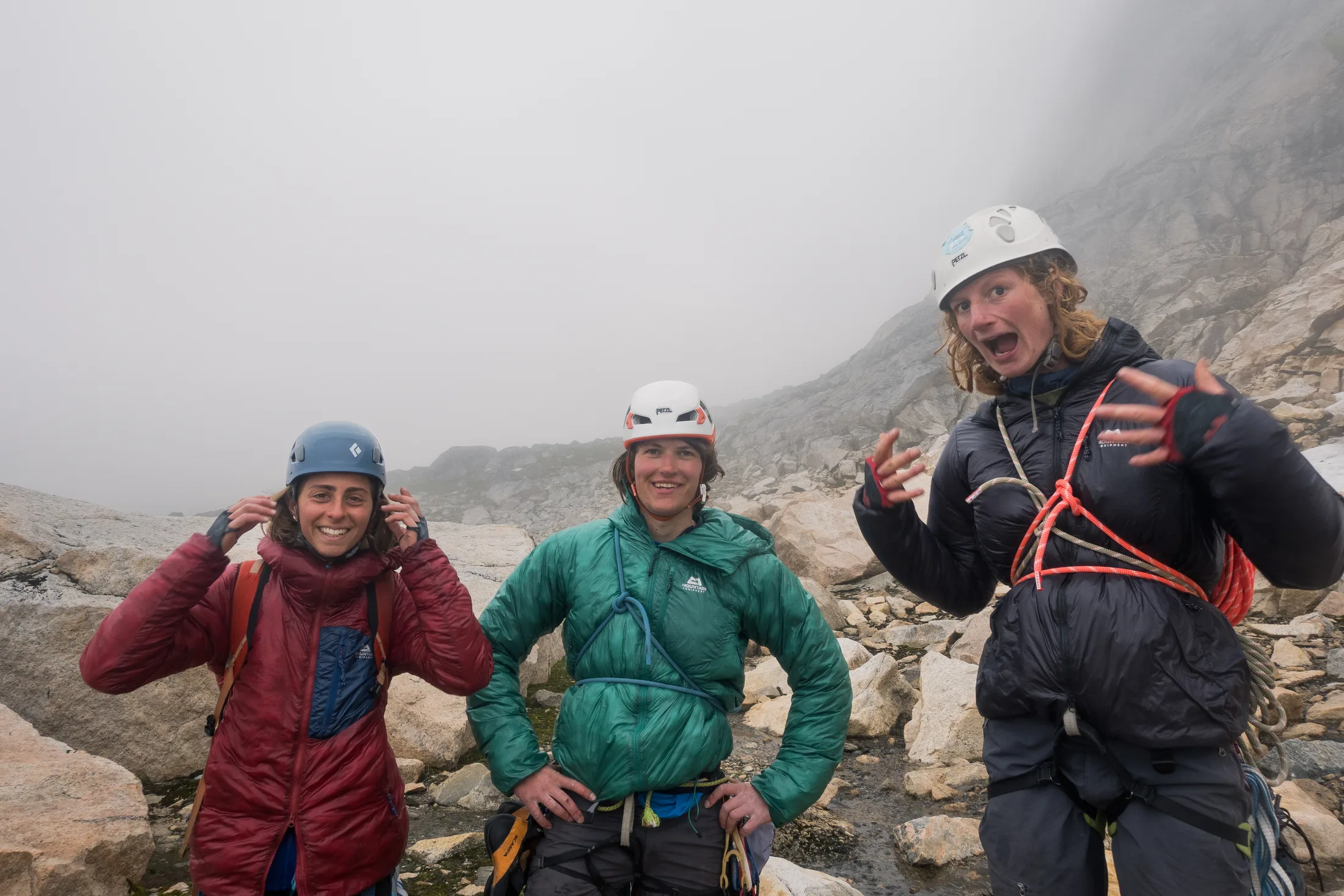
Chuffed with ourselves about our new routes.
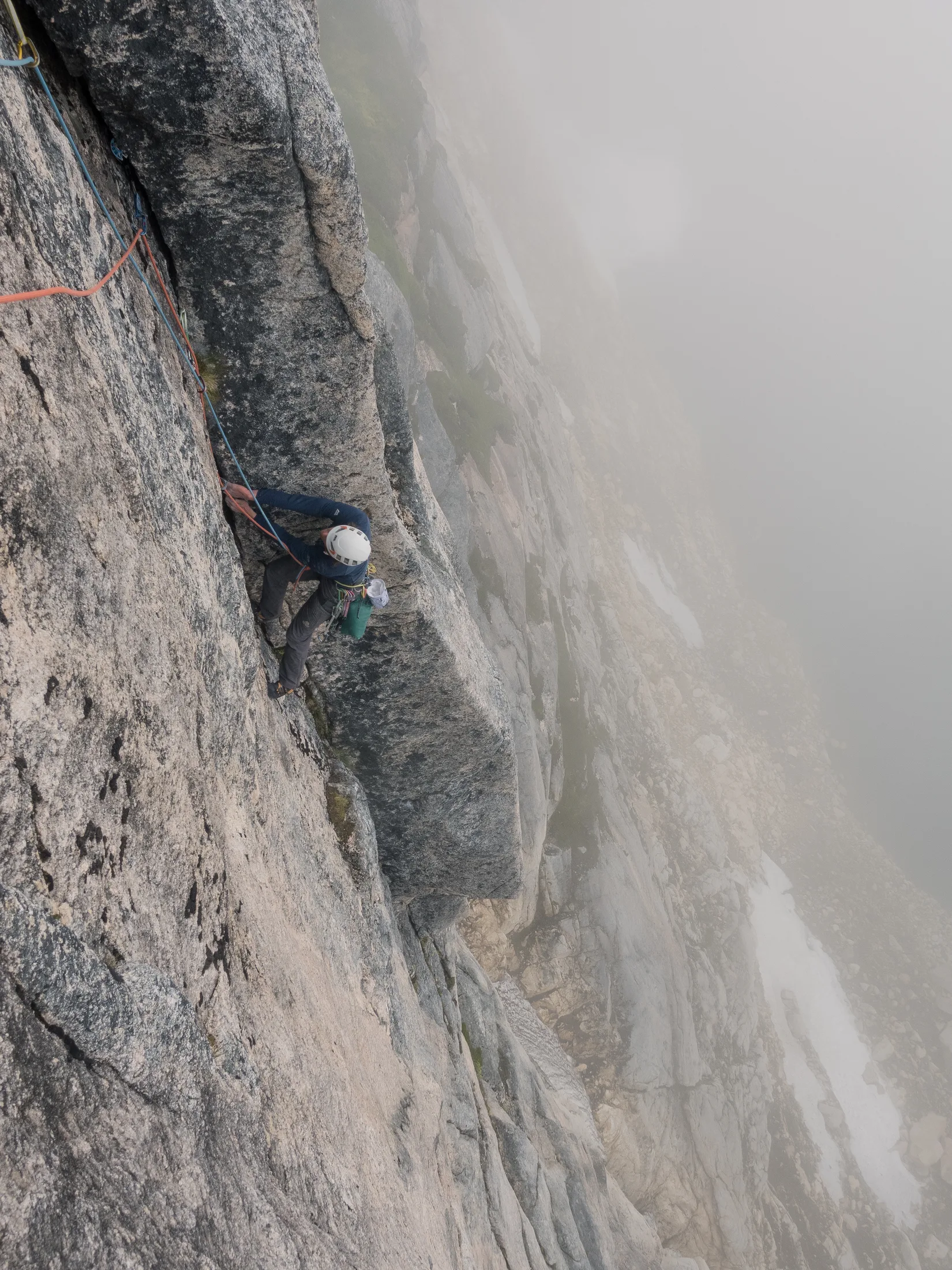
Charlie seconding the crux pitch of Clutch Cone Corner!
On the 2nd of August we went to the small private-collection museum in town (thanks to Matt and Helen for asking for us!). It was an incredibly interesting collection of items belonging to a woman on the island, who told us about the history of the area.
5.5 Leg 3: Kulusuk to Graah Fjord
Written by Lara Novak
We set off from Kulusuk at 20:00 on the 3rd of August after having tea aboard the Annabel J with Andrew and Moira Wilkes. The nights were longer and darker than the last time we had been at sea, a slightly portentous observation for our trip home.
Unfortunately our great success with the gearbox had one slight hitch in that we’d damaged the seal to the output shaft and it was now slowly leaking ATF fluid. This meant that someone had to top up the gearbox every 4 ½ hours, involving a crawl into the hot bowels of the engine, through several pipes and strings, opening up the gearbox, adding a little AFT and emptying out the drip-catching Tupperware. Charlie and I shared this duty and we were duly marked by impressive scratches down our butt cheeks from crawling under the sink. It is much to his credit that Charlie never vomited during this endeavour, bleary from his bunk and immediately in the pitching, stinky engine bay without enough room to turn around. I am not prone to queasiness but the experience for some reason made me desperately want to poo and I would often come out very panicked. - Meg
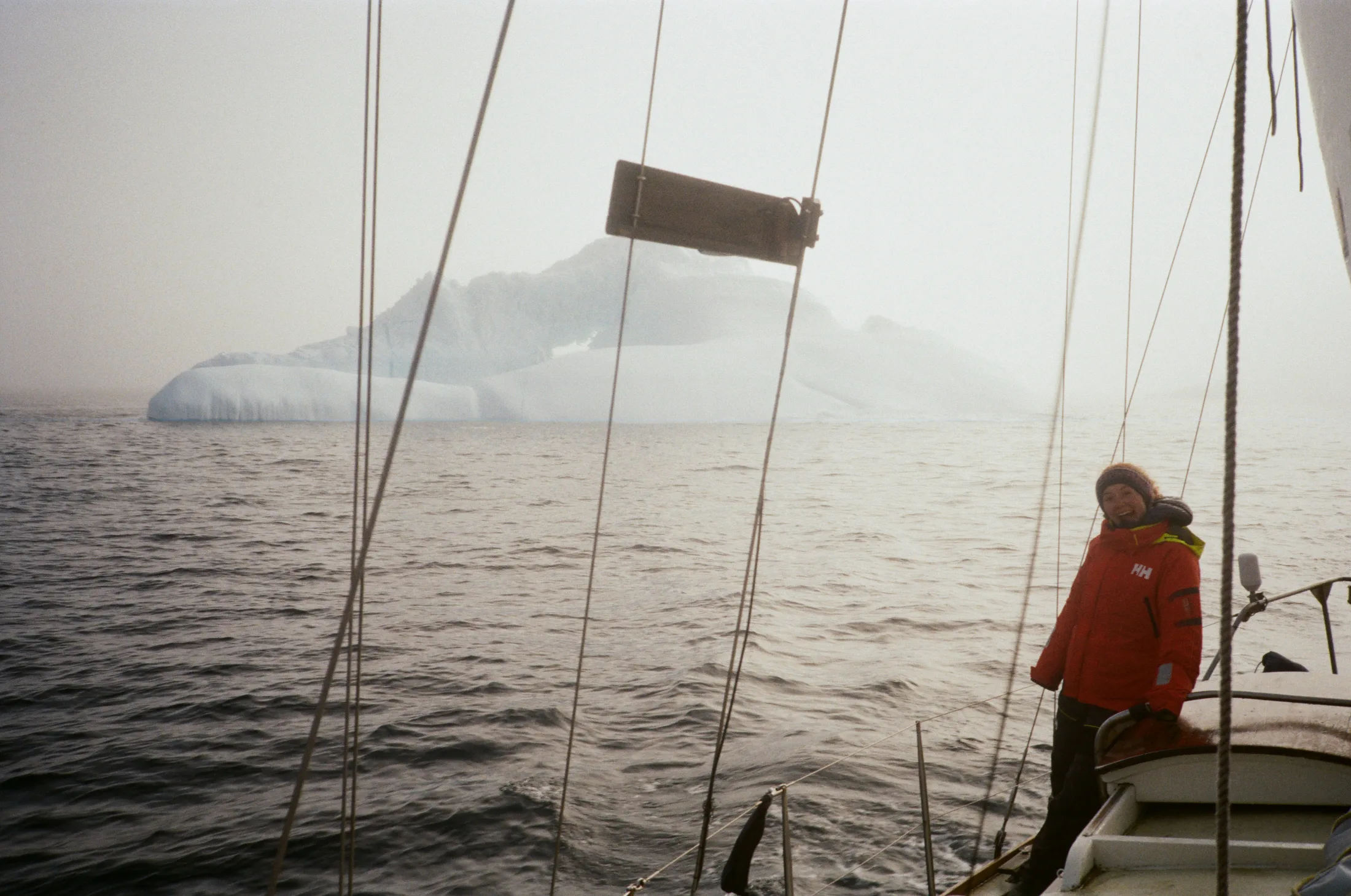
Keeping eyes peeled for bergs in the fog.
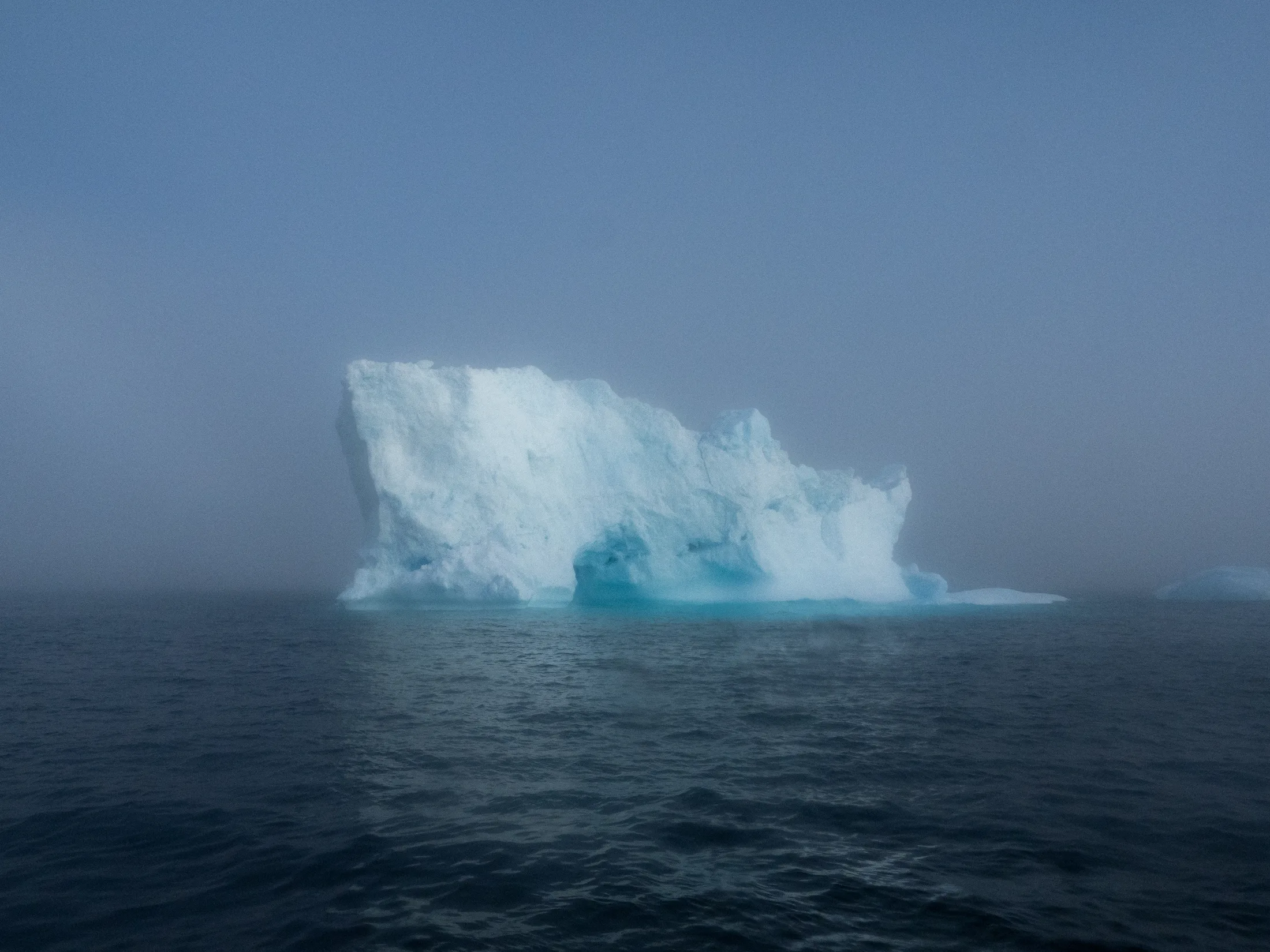
Motherberg!
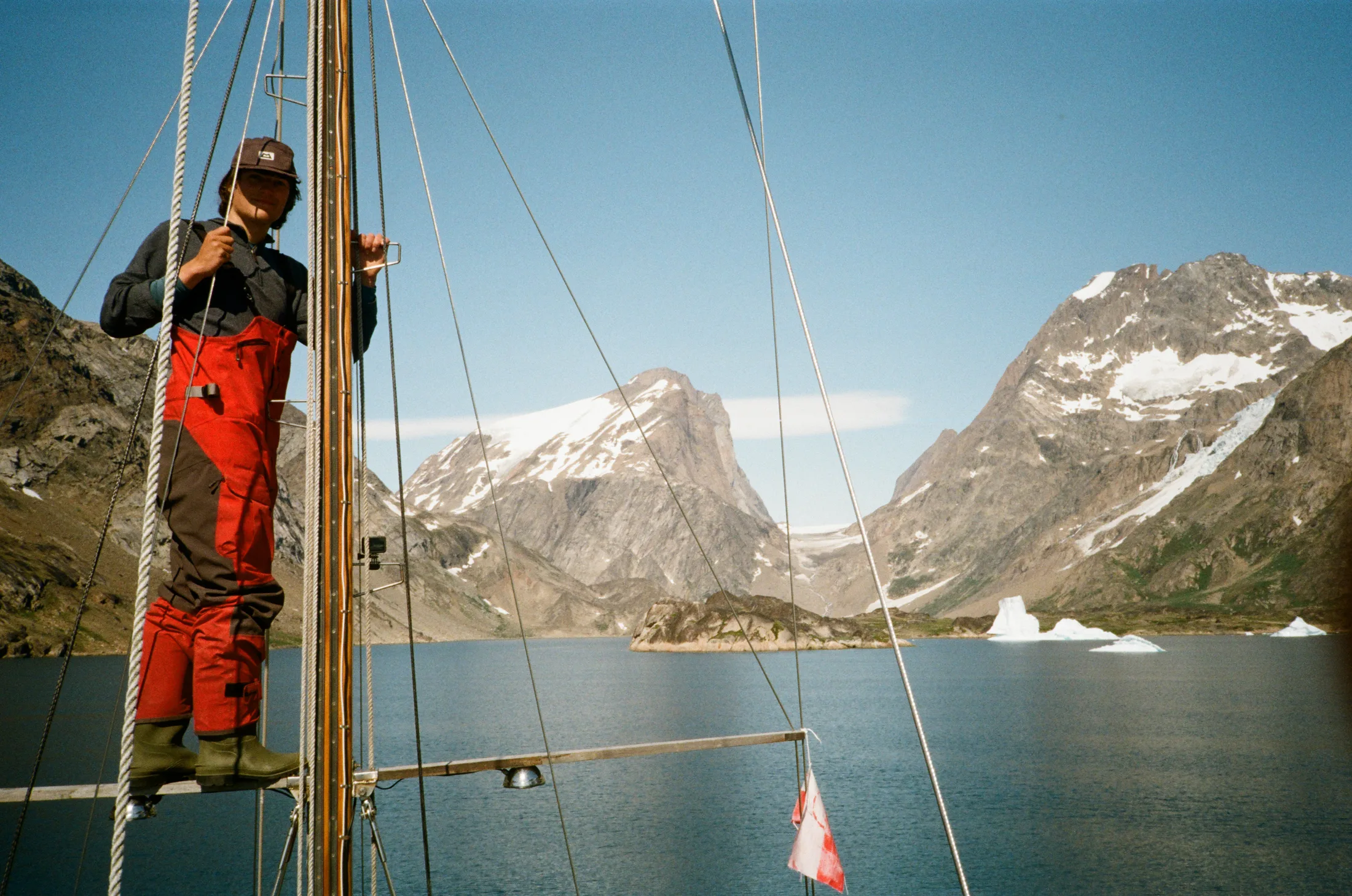
Entering Graah Fjord.
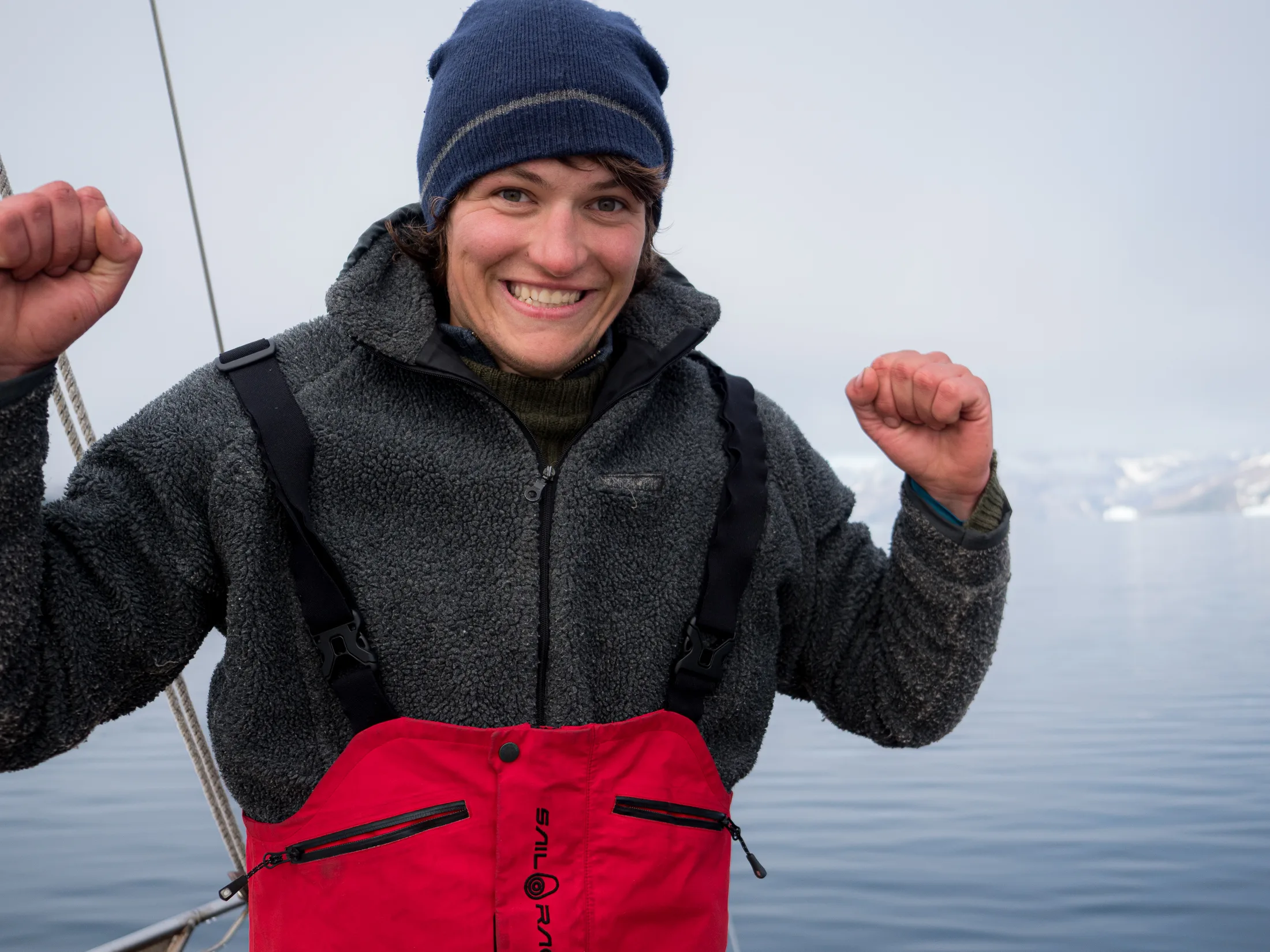
Excited to have made it!
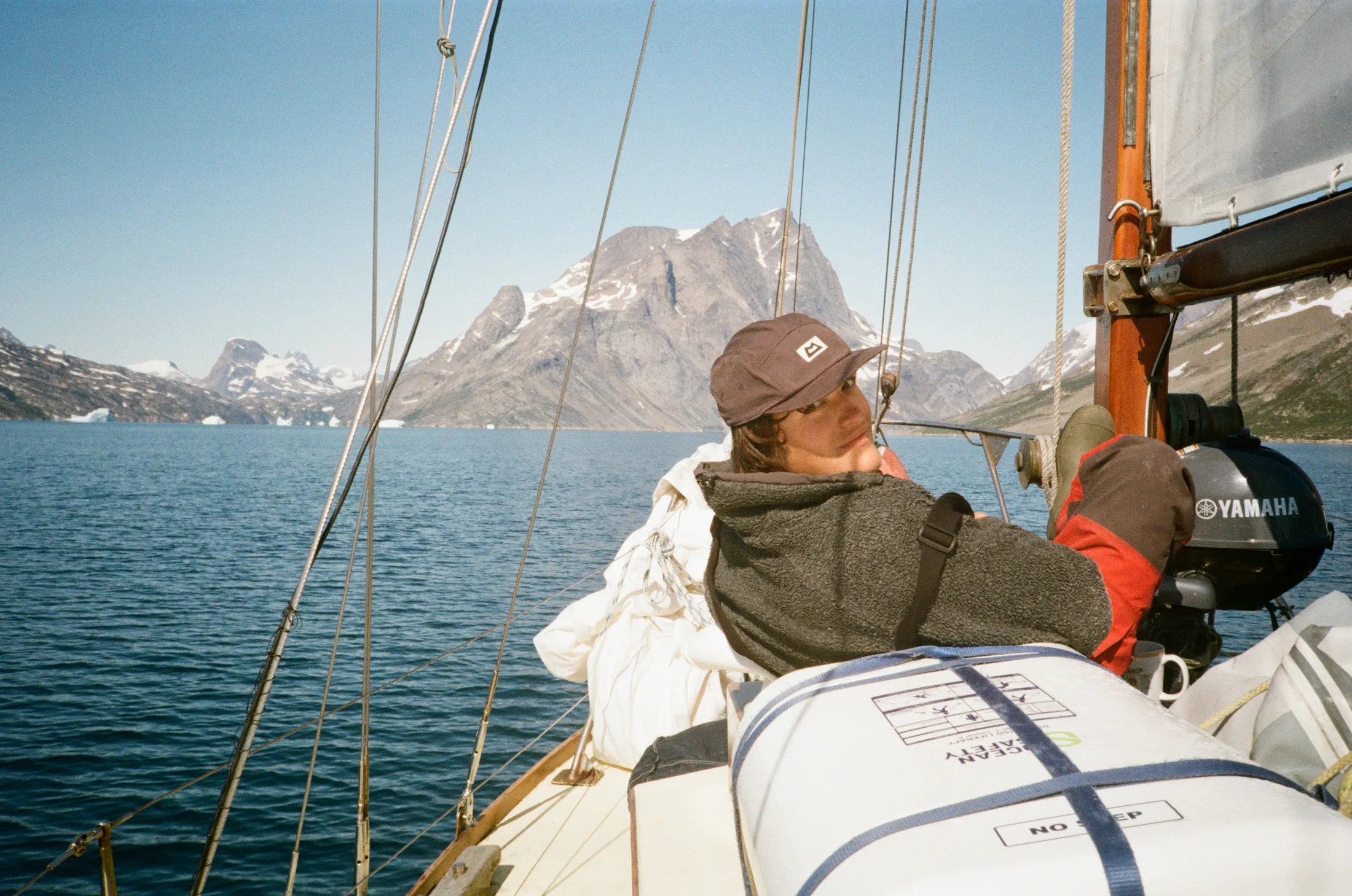
Looking out for underwater rocks and sneaky bergs in the uncharted waters.
By lunchtime on the 4th the engine was off and we were sailing downwind at 4 knots. Thick fog descended at 4:30 on the 5th as we passed through a 15-mile wide band of more concentrated ice, maybe 1/10ths, which thinned out 5 miles from the coast. We had planned to stop in the reportedly good anchorage Graah Havn before entering the fjord proper, but due to the GPS offset and low visibility we decided to continue on to the head of the fjord in the hopes it would be clearer inland. Charlie’s charts, which he had made using satellite imagery and QGIS, proved much more accurate than the Garmin Navionics charts. About 10 miles into the fjord the fog suddenly lifted, revealing beautiful mountains on both sides. We couldn’t quite believe that we were actually here, in this remote and otherworldly fjord, after two years of planning.
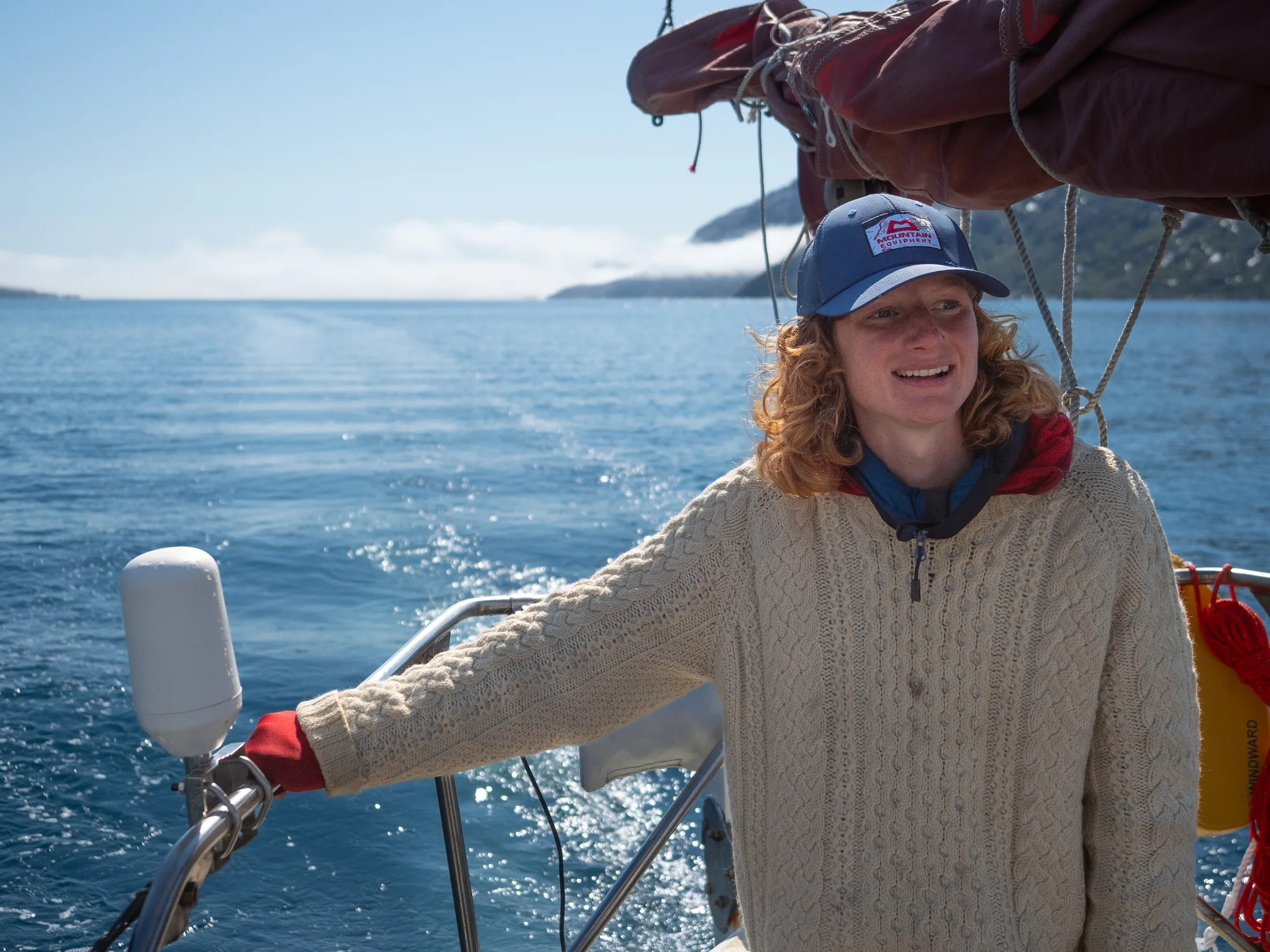
Coming out of the fog.
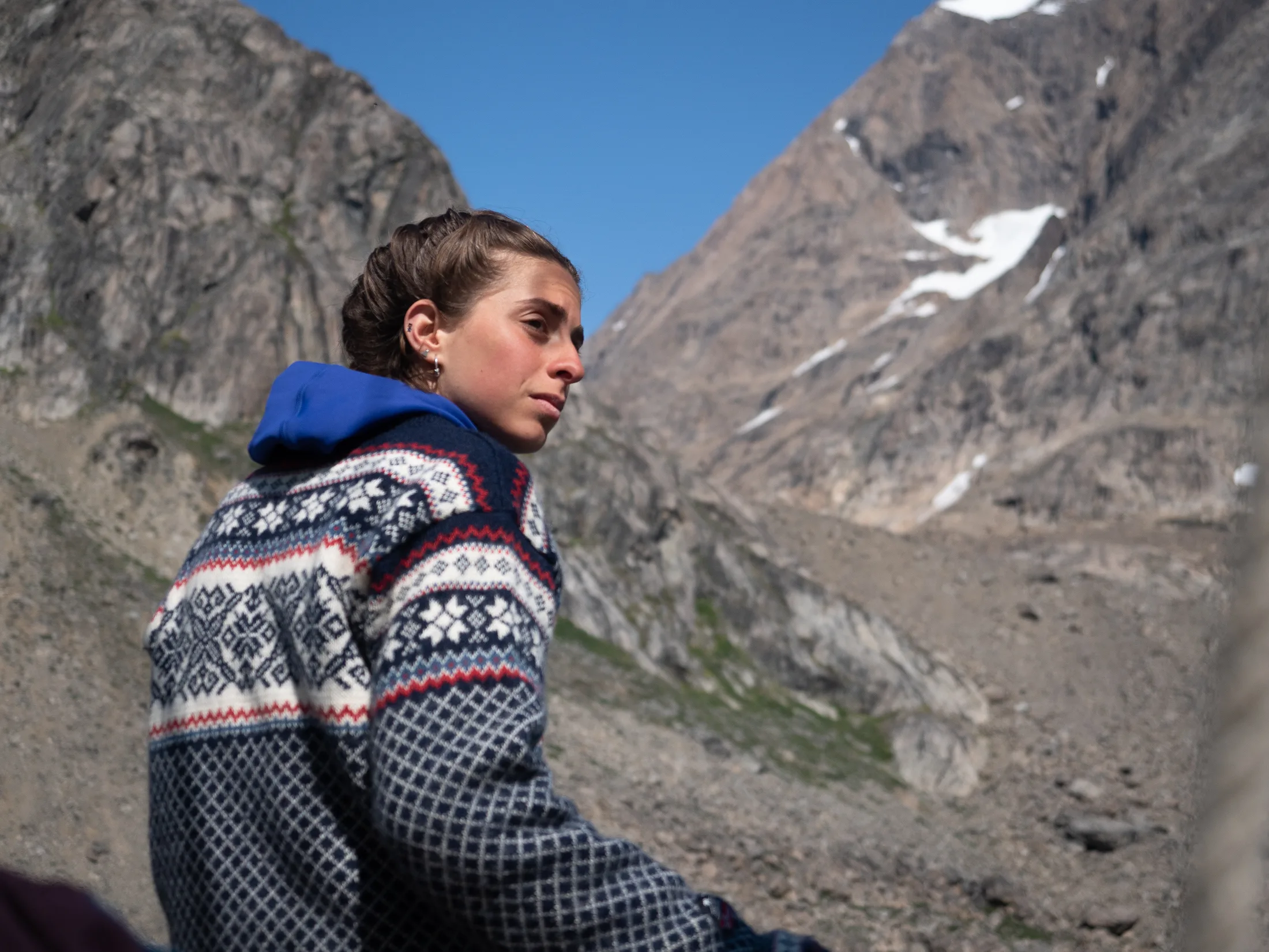
Stressful anchoring
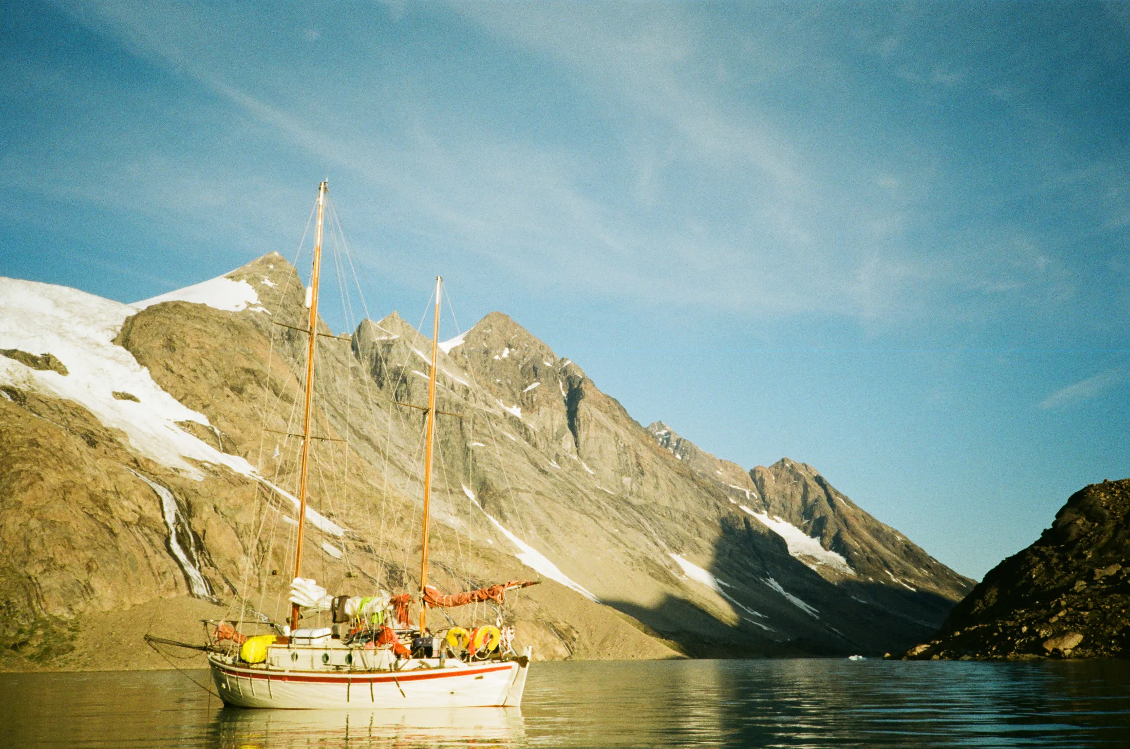
At anchor, post catabatics.
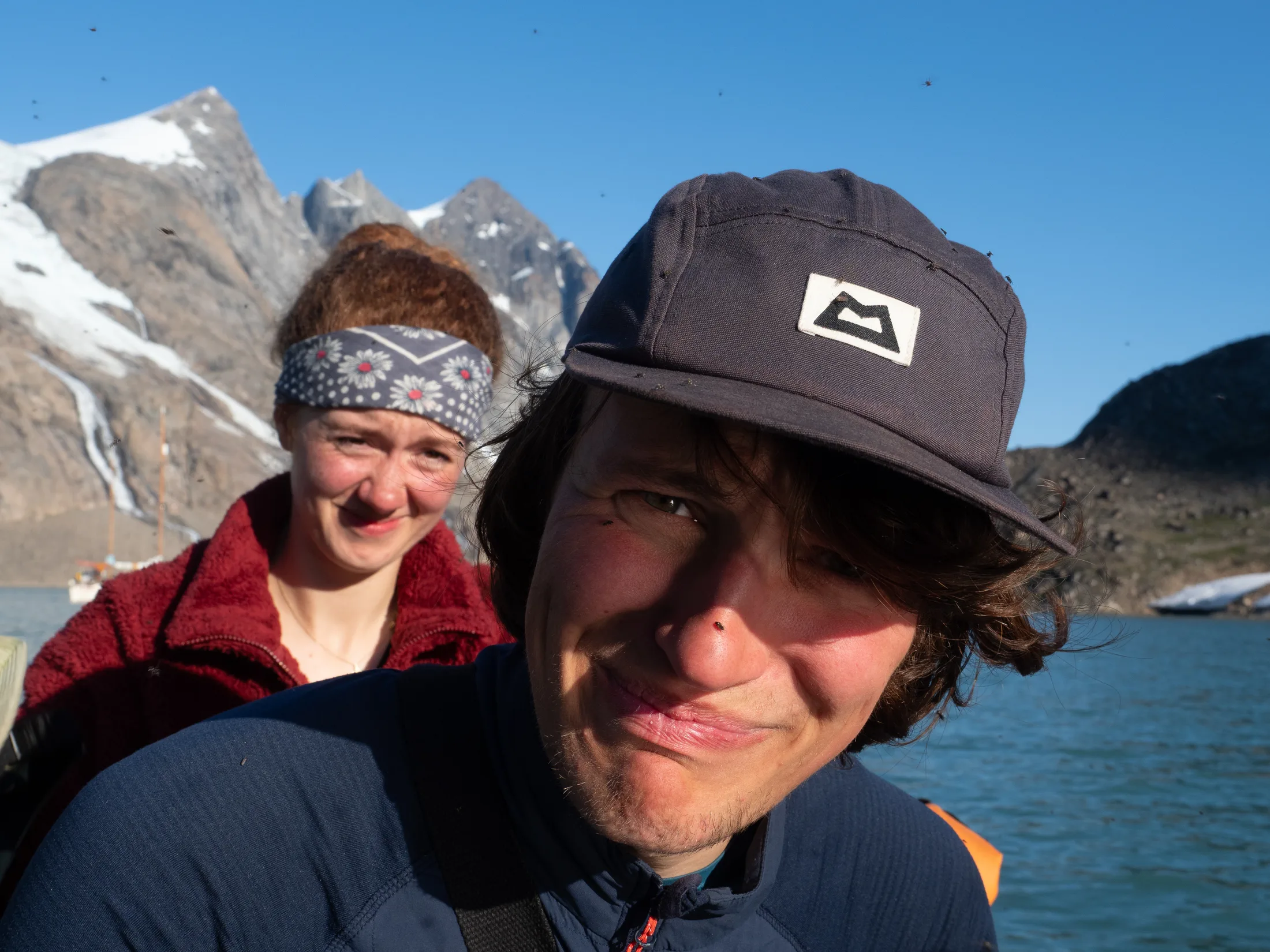
We learnt there are many a mosquito in Greenland!
We passed to the south of the island at the head of the fjord, with the depth dropping briefly to seven meters before deepening again. After circling around in various radii to gauge the depth gradient (which was quite extremely shelved due to the glacial silt runoff), we anchored in 30m with 70m chain plus 30m rode out (3:1 scope). This is not quite the scope we had hoped for, and when we got a grib forecast and saw force 4 predicted blowing from the land we discussed moving to the safer Graah’s Havn. Force 4 would not usually be a concern, but we suspected in our mountainous bowl this would be highly catabolic and duly at about 22:00 we were hit out of the blue by a big gust. Charlie, Meg and I took turns sitting anchor watch as we were thrown over periodically by a big gust coming from either of the two valley branches. We added more rode after the initial gust, but quickly had to haul it back in again as we swung round. A tense night passed, with the gusts increasing to force 5/6, and the anchor dragging 60m at around 2:00. After this the wind began to die and by 5:00 all was completely calm. The upshot of this first rather stressful night is that, for the remainder of our time, we were pretty confident in our anchor holding!
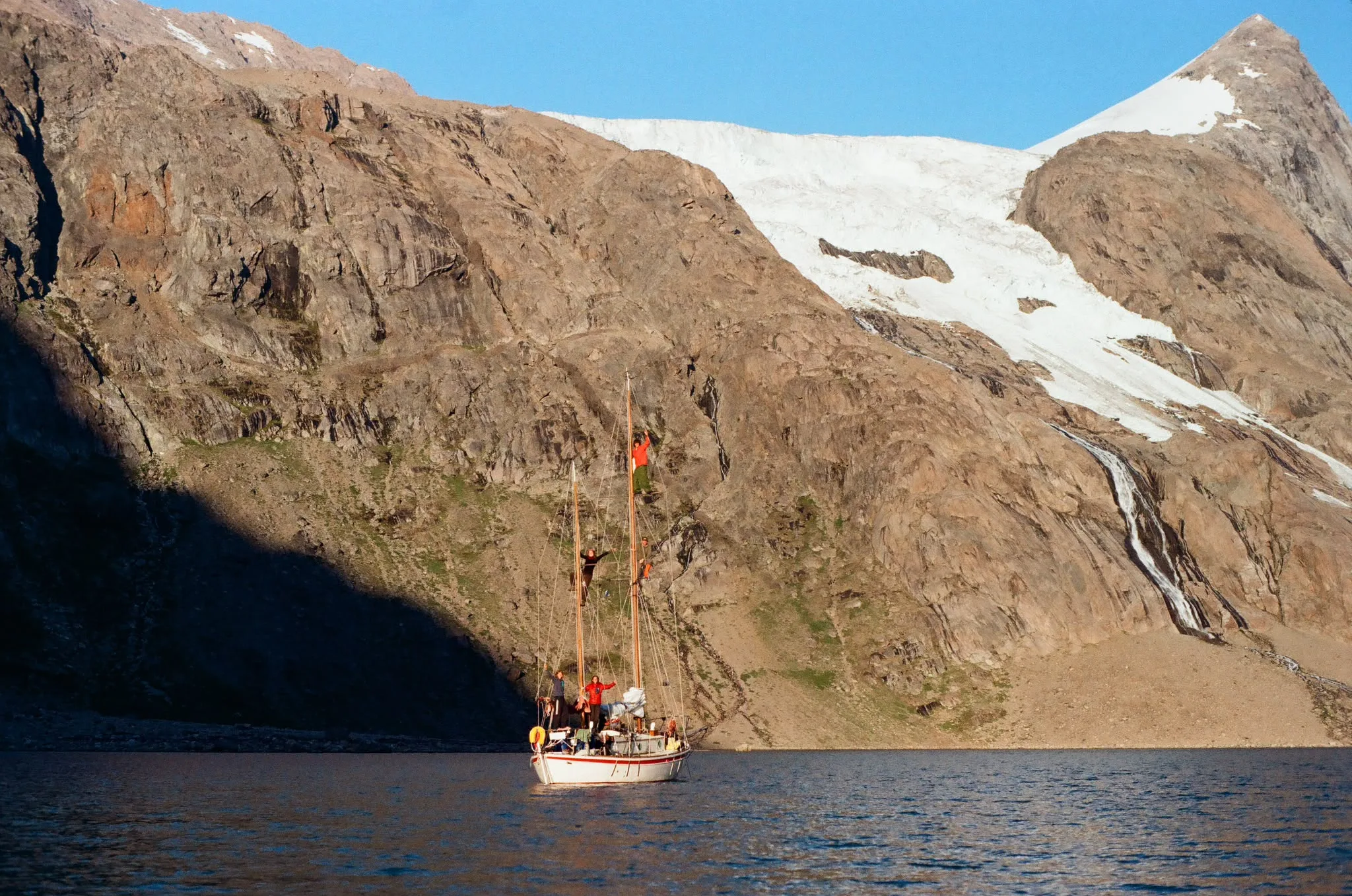
Kingfisher and crew safely at anchor in Graah Fjord!
5.6 Climbing in Graah Fjord
Written by Will Jones
There are topos for all of our climbing in the topos section.
6 Aug: Scouting
The first day we had in Graah Fjord was a bit drizzly which made good scouting weather. We walked up the northern valley and roped up near the bottom of the glacier - it was dry but we did not know what it would be like higher up. This proved to be a good decision when we immediately got to snowier sections. The walls were all intimidatingly large and mostly looked like they were about to fall on top of us. Still a grand place to be adventuring and we were very excited.
Reaching the col at the top of the glacier we flew our filming drone to get a better view of everything. This did not help and mainly just confirmed that everything was very large and loose.
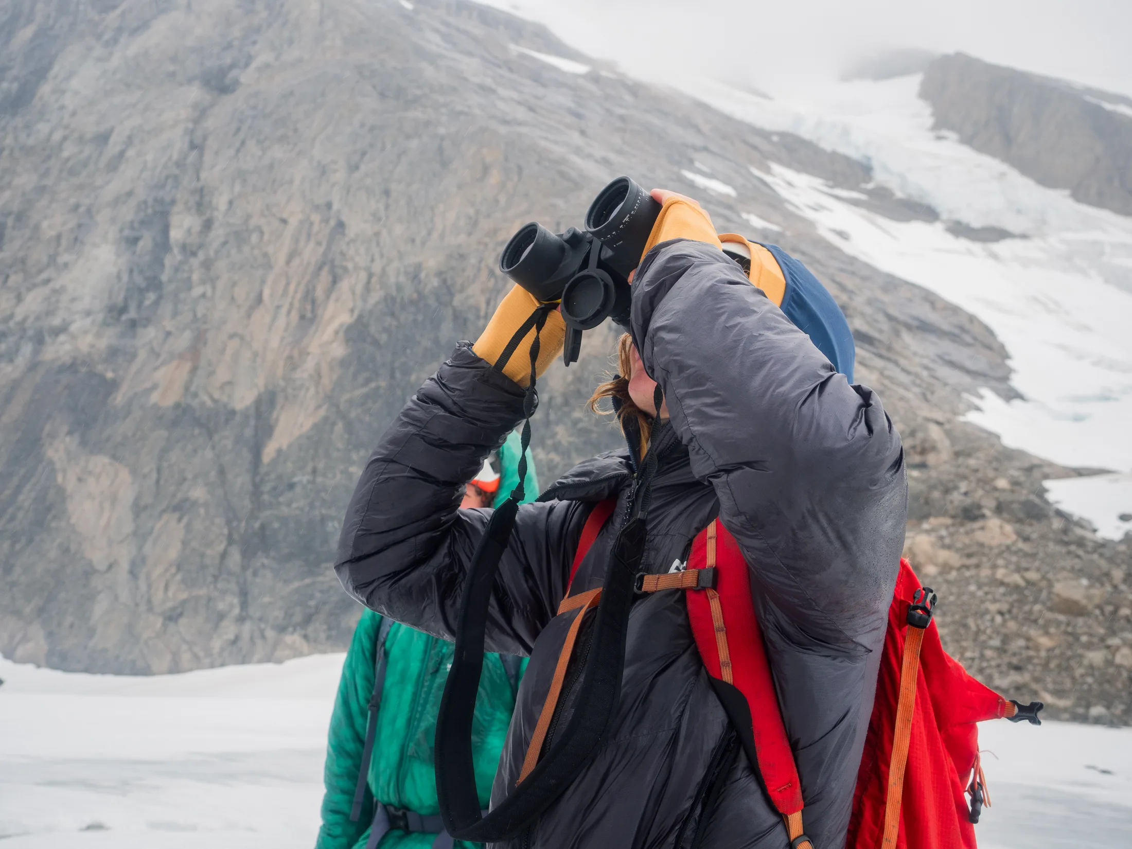
Looking for potential routes.
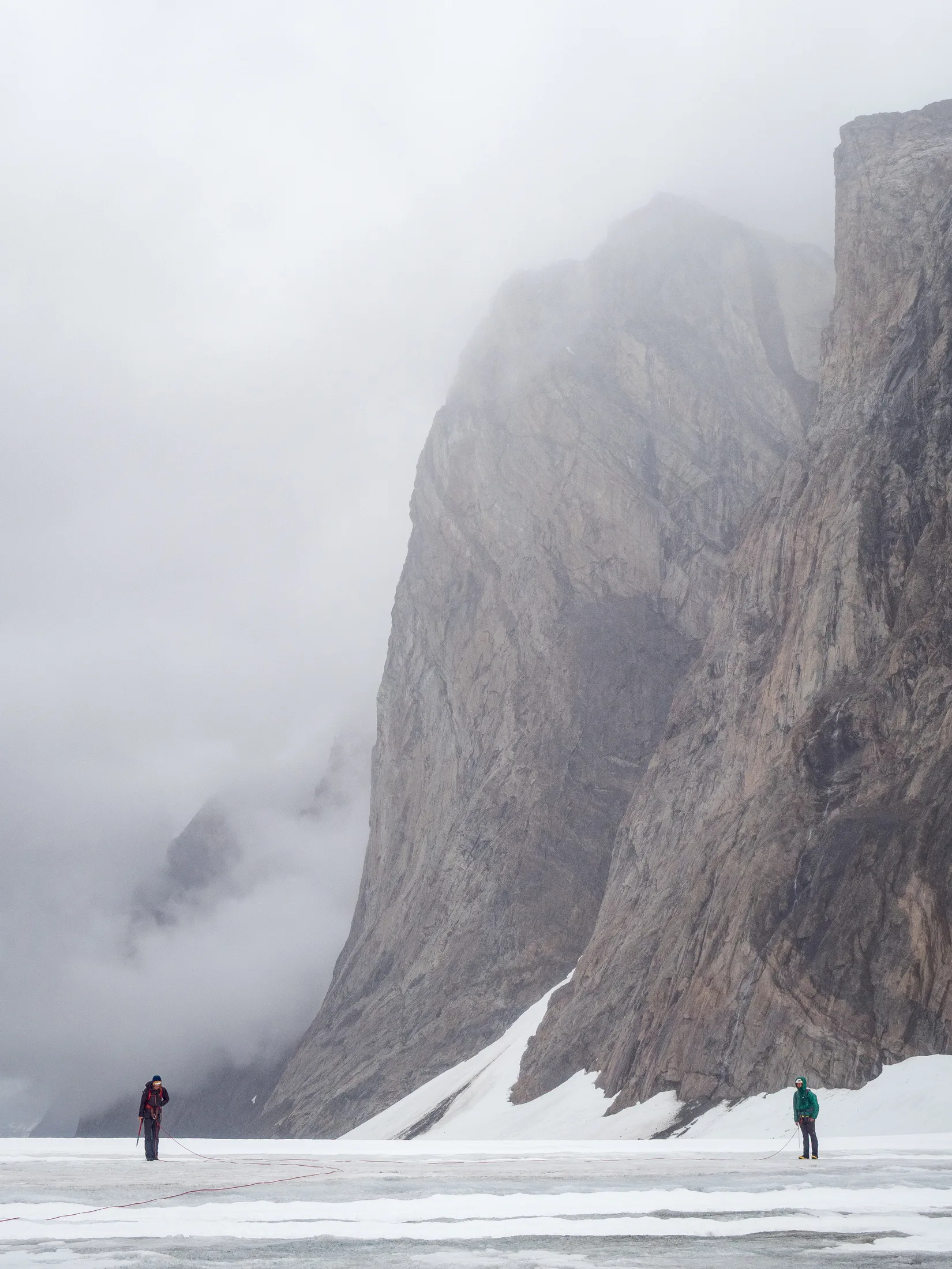
We found everything to be big and imposing!
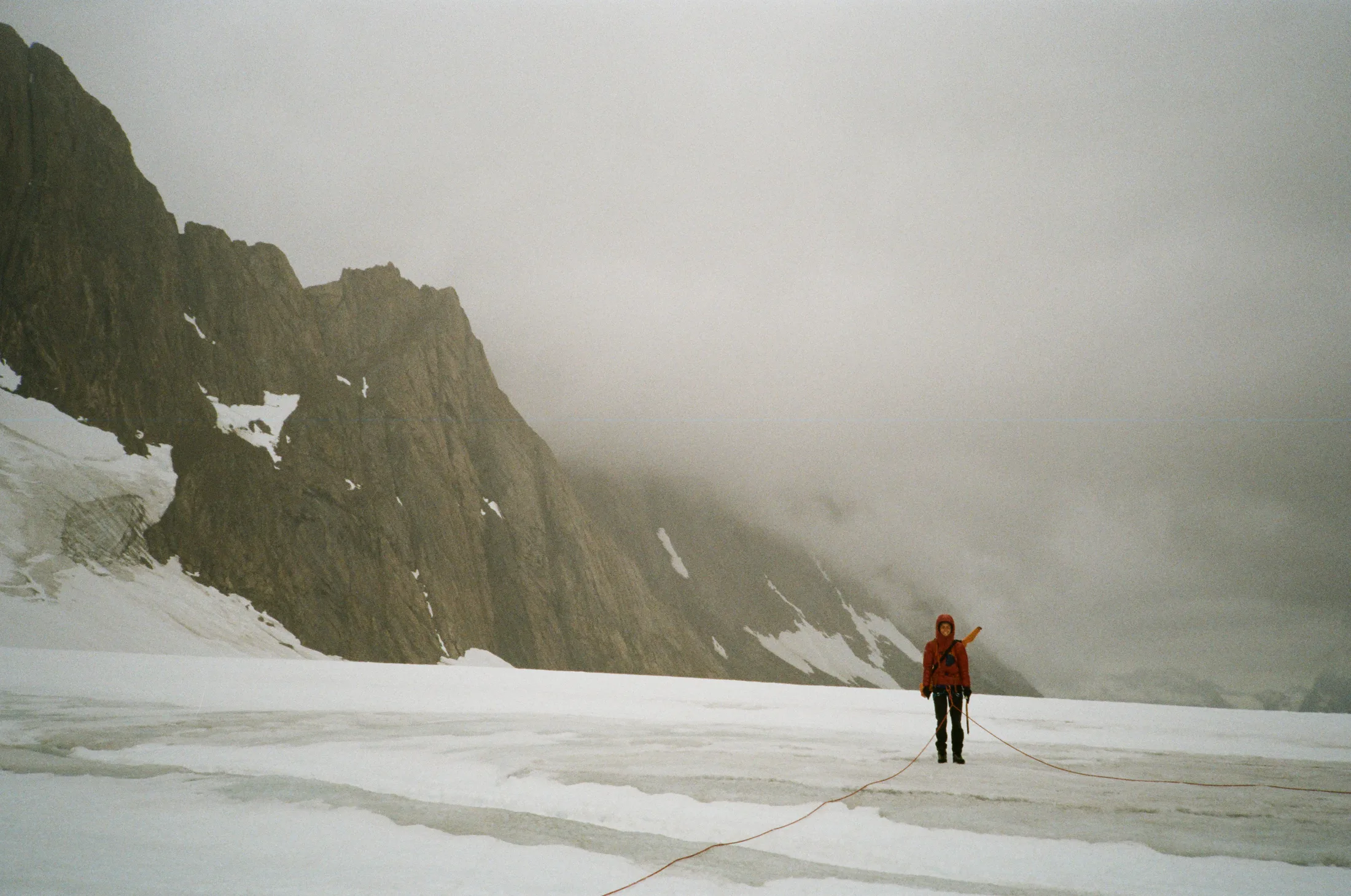
Walking back along the glacier.
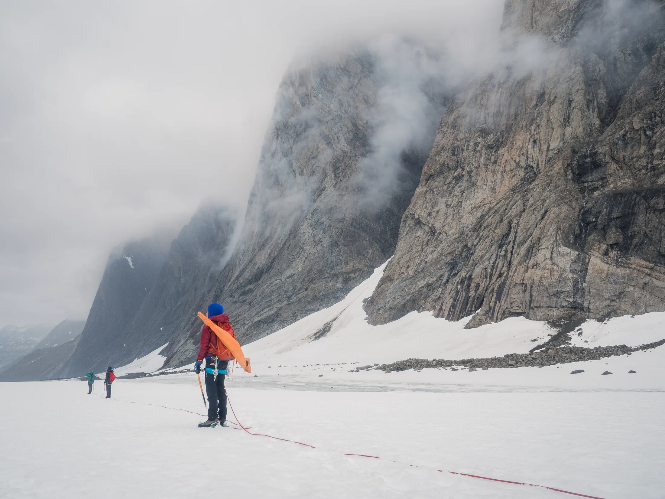
Les Droites in the background.
Les Droites, put up by the SAC women’s expedition, is about 600m and sits on the east side of the col. There are several clear lines up it, which would not be easy by any means, and our biggest concern was how to get down. Our best chance on this wall would be a lower ridge, on the south end, descending by abseil. It would be a serious undertaking for us.
On our way off the glacier we noticed a large scree slope on the true right, to the base of a ridge which continues up to the summit of an unnamed mountain.
7 Aug: Scouting
Our second day of scouting was actually an attempt to access that ridge from the southern valley. This valley basin was unglaciated and flat; a large buttress to our east led to the ridge. We picked a line up the scree, but turned around near the top due to a steep, loose wall.
We felt disheartened by our failed attempt, but tried to make the most of the rest of the day by continuing up the valley. This proved to be fruitful, when we discovered a promising 500m slabby crag. We also spied William’s Step, a steep wall below a large basin on the east end of the valley.
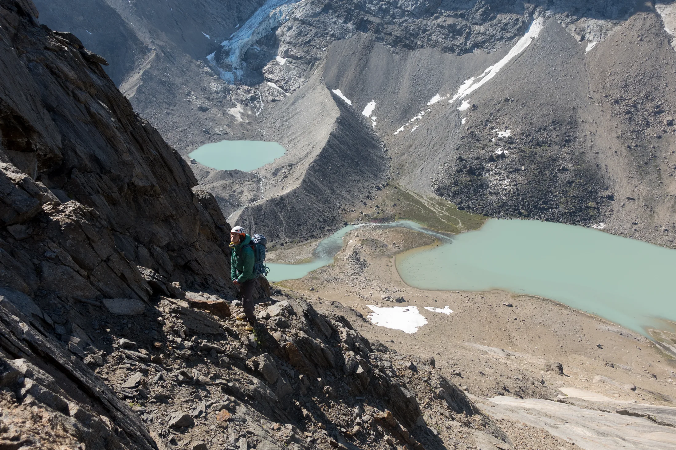
We were stopped at a steep wall here.
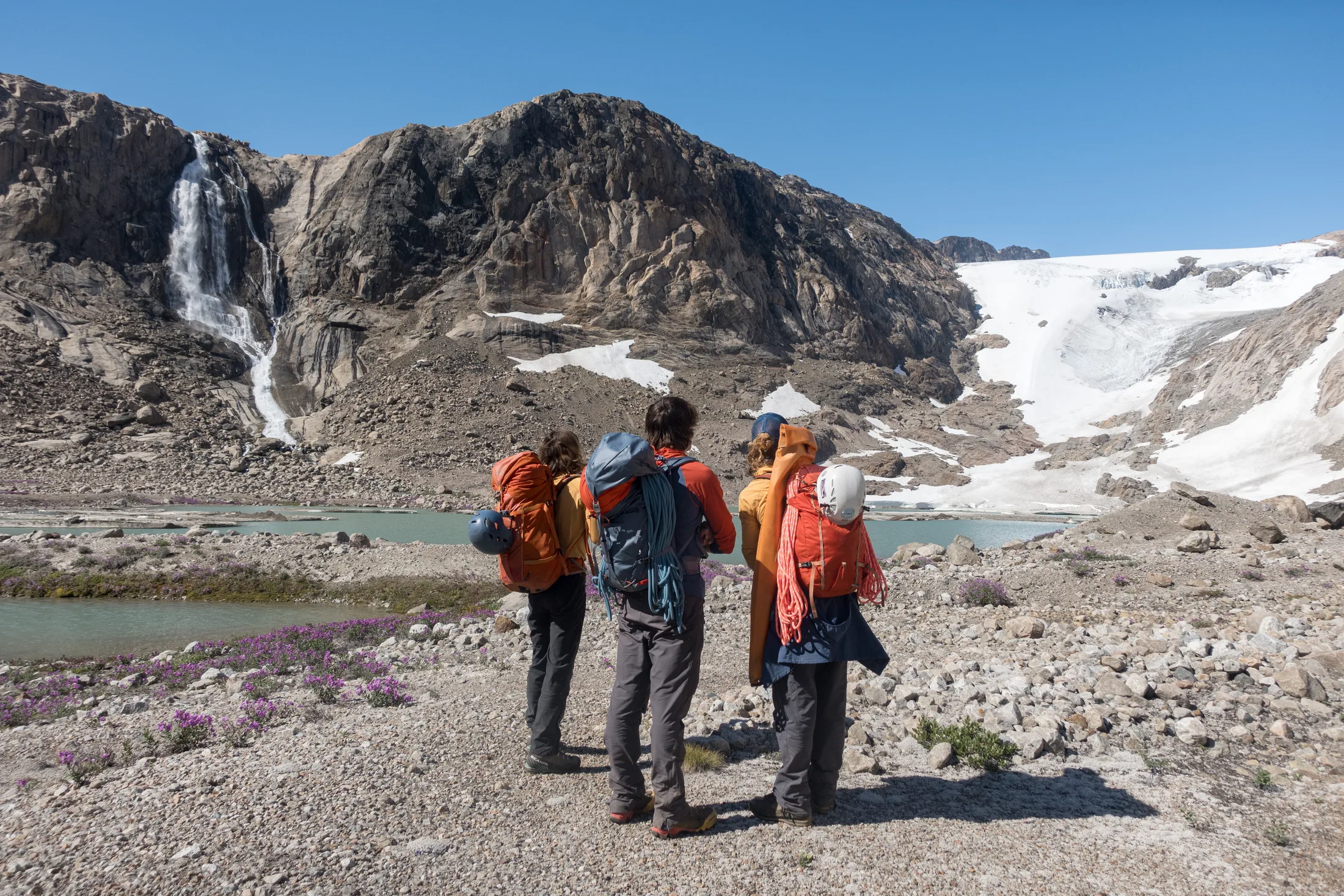
Looking at the glacier for options.
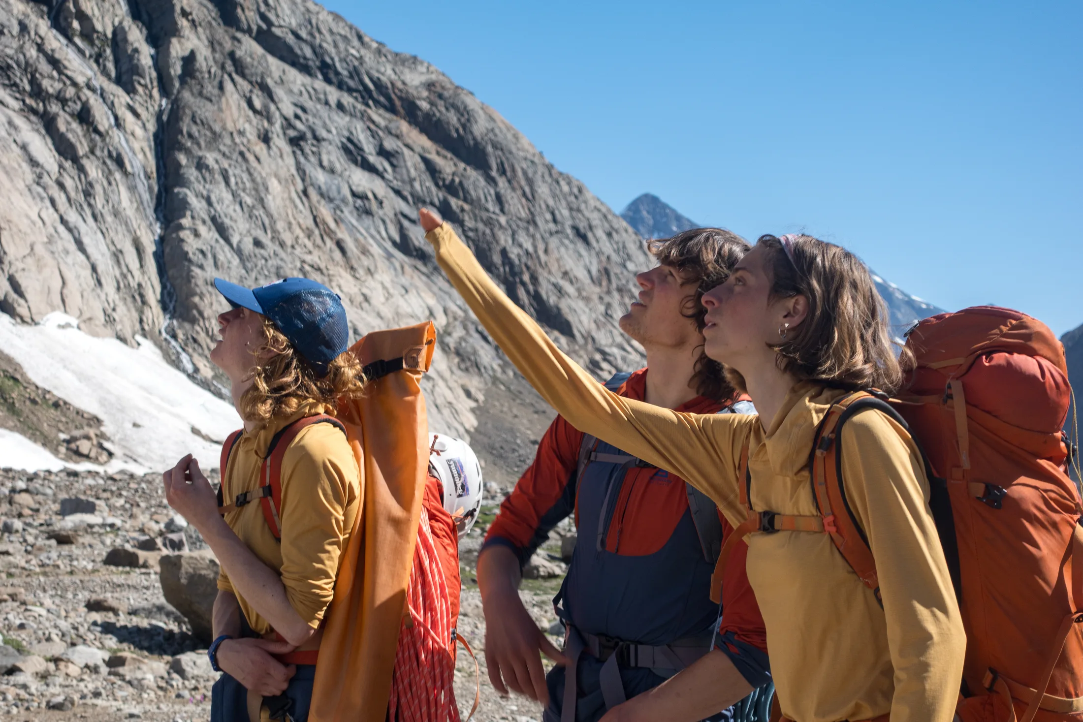
More looking for routes and descent options.
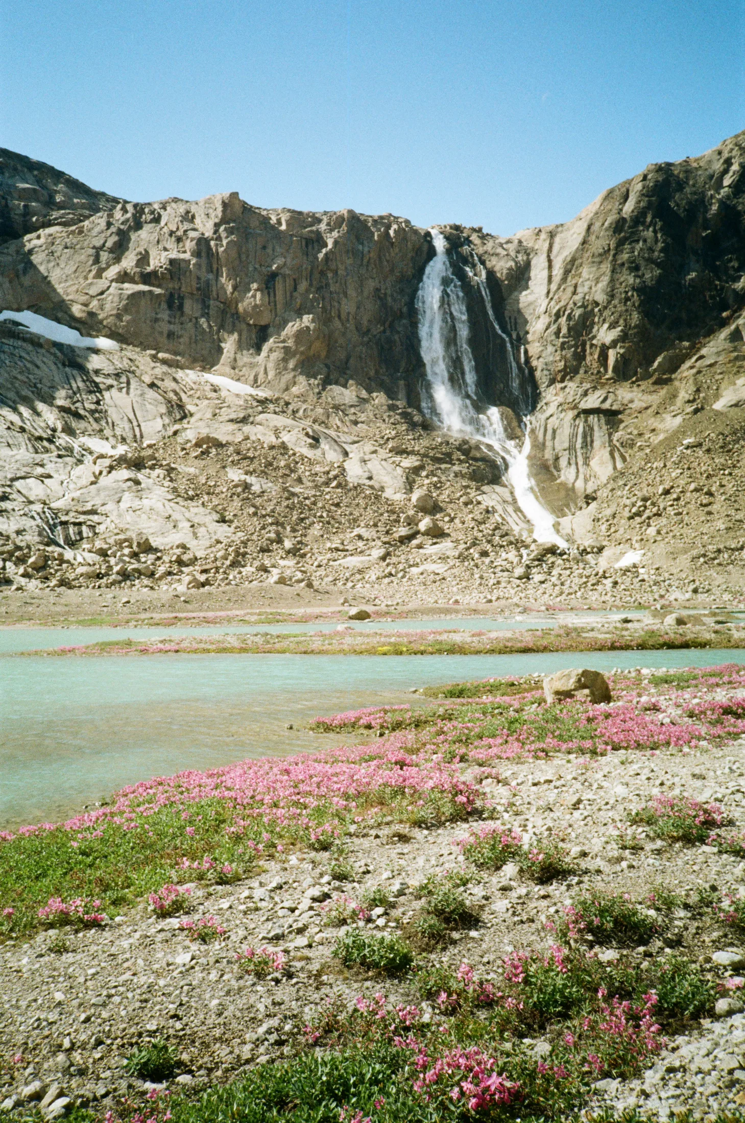
Wildflowers! What would become William’s Step in the background.
8 Aug: Slab Wall
We returned to the slabby crag. It looked like we would be able to abseil - our strategy was to stay in communication about the quality of belays and gear we passed as possibilities for descent. We left the gun at the bottom.
The crag was characterised by two wide crack/chimney features running parallel to each other, which would end up being:
Original Route, 240m VS 4b, FA: W Jones & C Banford
Right Hand Slab Route, 240m VS 4b, FA: M Loftus & L Novak
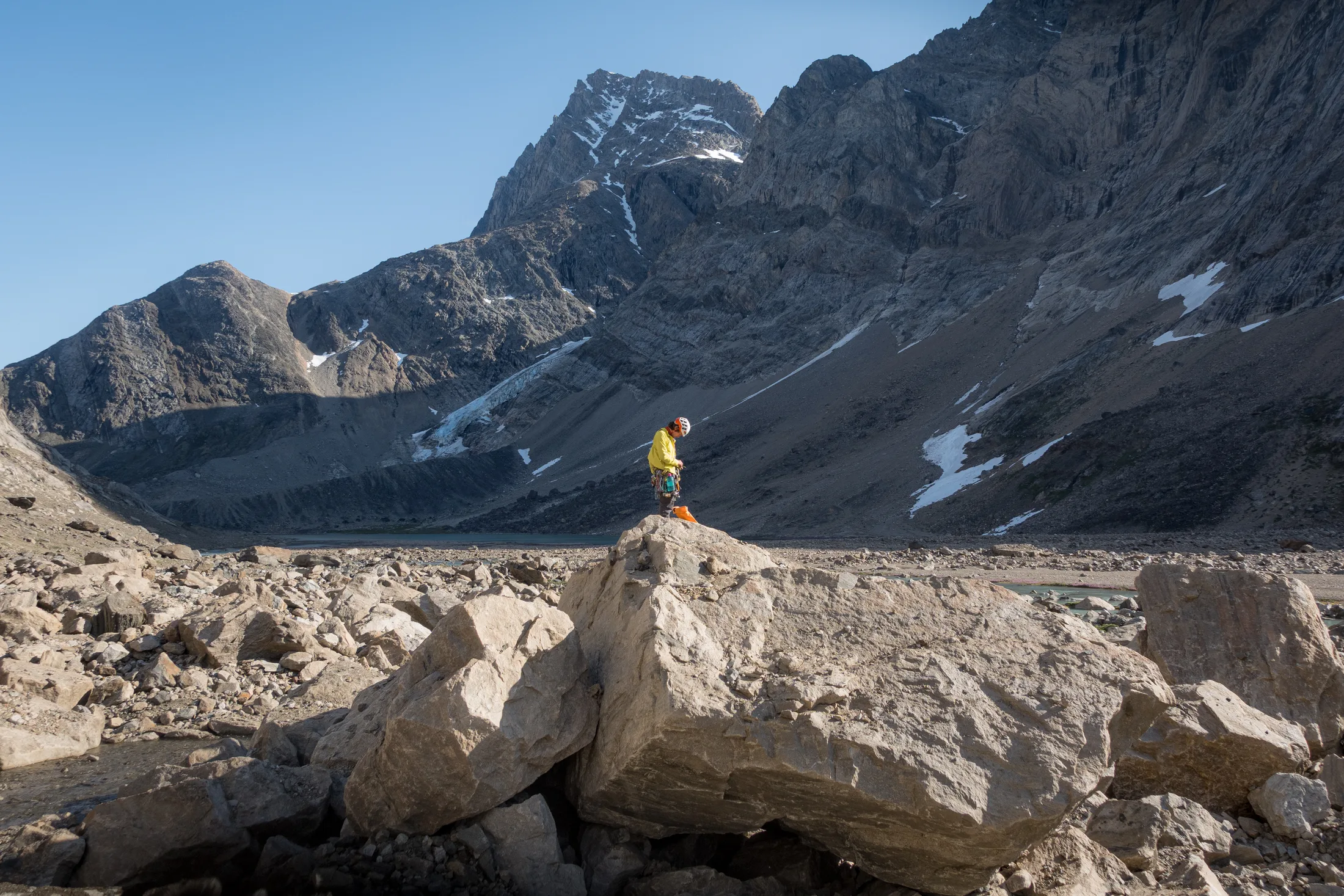
Gearing up at the bottom.
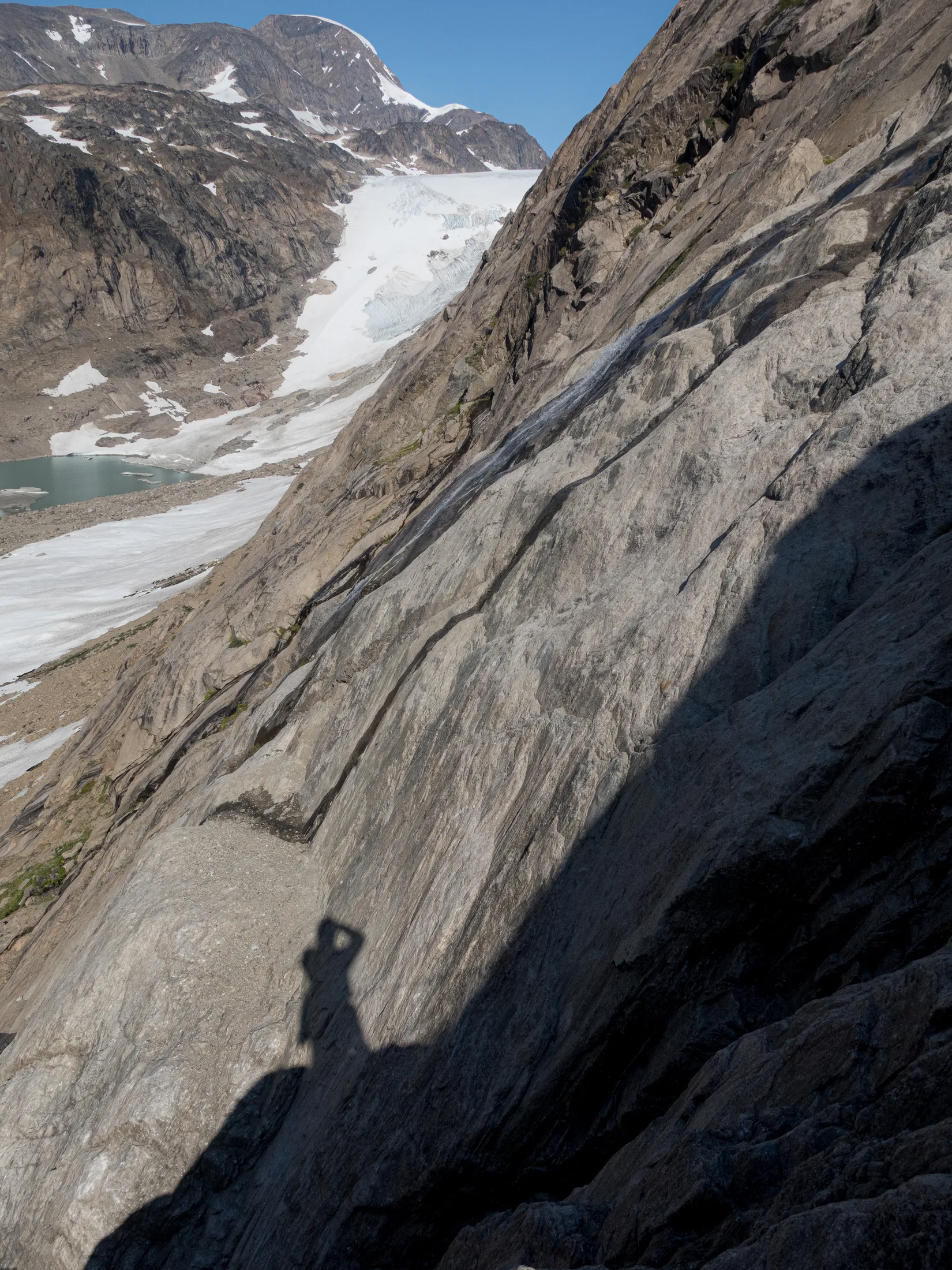
Looking up the valley.
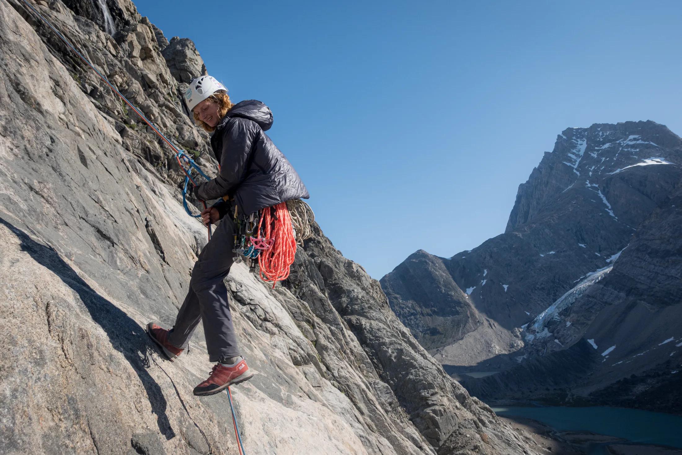
Abseiling the route.
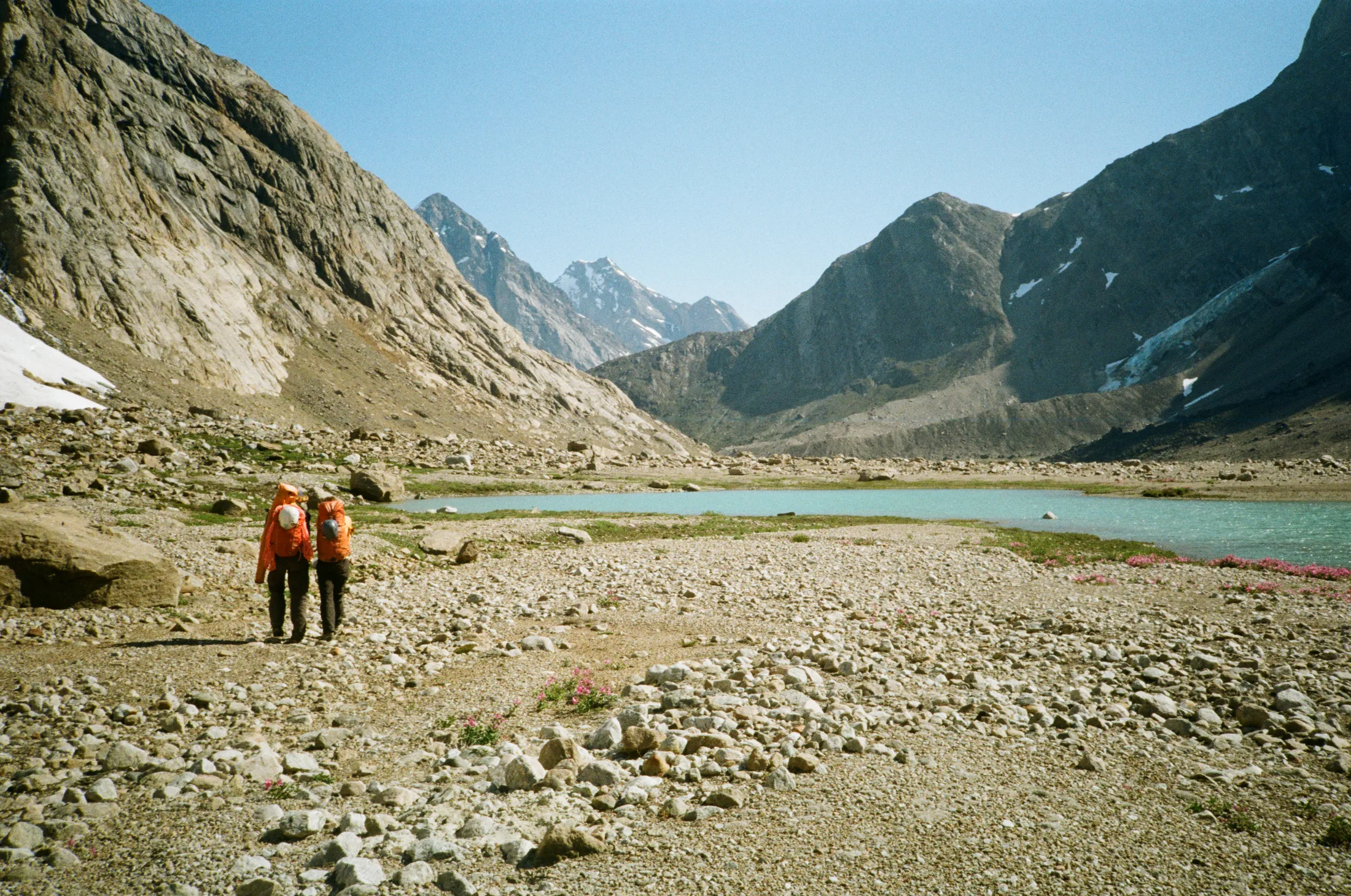
Walking back down the valley.
‘Original Route’ was not immediately accessible from the ground due to a steep snow patch, so Charlie and I traversed in from the right. Halfway up the crag was a large system of roofs, under which the ‘Right Hand’ route traversed left to meet ‘Original Route’. The climbing was generally on good rock, but somewhat underwhelming with a scrittly overlayer. The gear was sparse, but good belays were found. Unfortunately, where both routes met, the rock quality dramatically changed, so we made four abseil descents down ‘Original Route’.
Although we turned around on this wall it felt like we had achieved our goal of climbing in Graah Fjord, which was a success in itself, but we craved to do something a bit more adventurous. Back at the boat we took a better look at the 500m broken crag that was closest to us, which would end up being christened Boat Buttress.
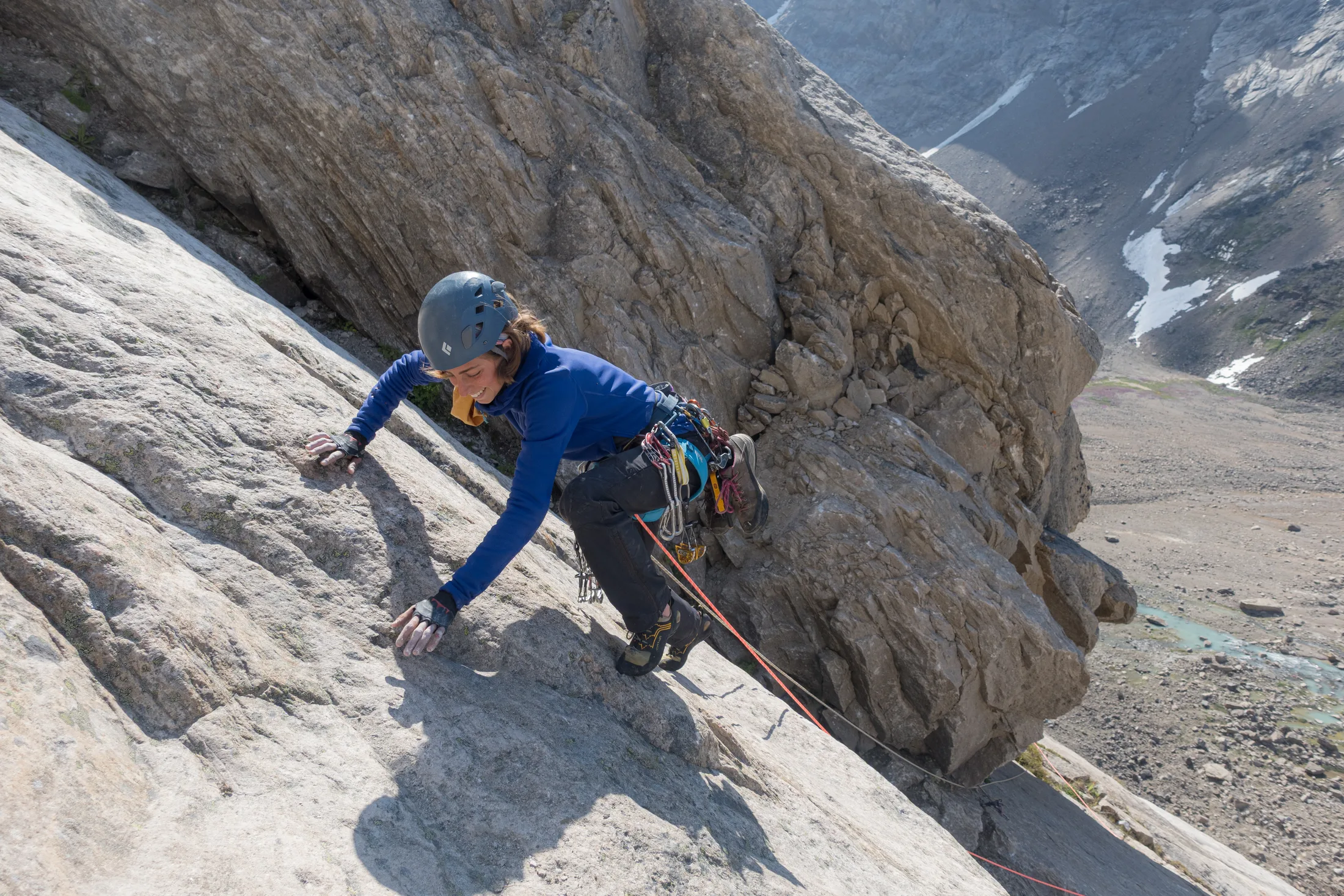
The top of our new routes on the slab wall!
9 Aug: Boat Buttress
Boat Buttress is a south-facing prominence directly in front of the anchorage. From our scouting we thought we would be able to walk off the scree slope we had spied from the glacier.
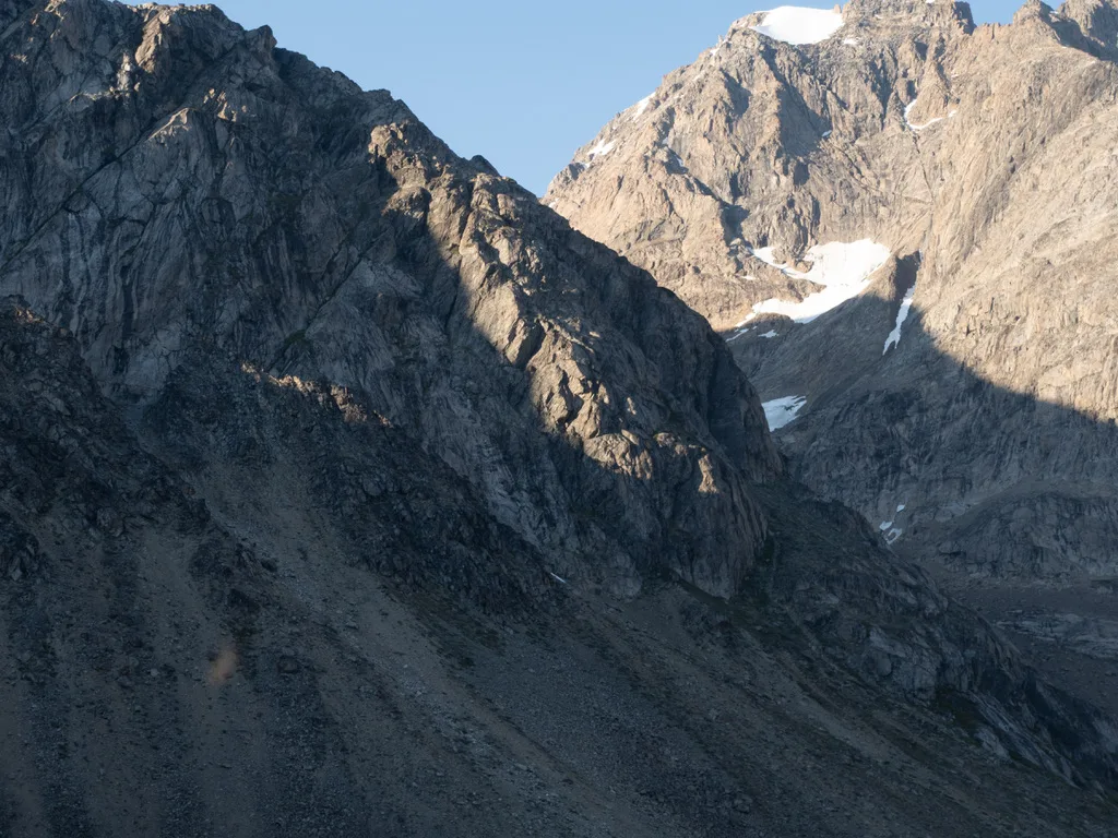
The boat buttress crag!
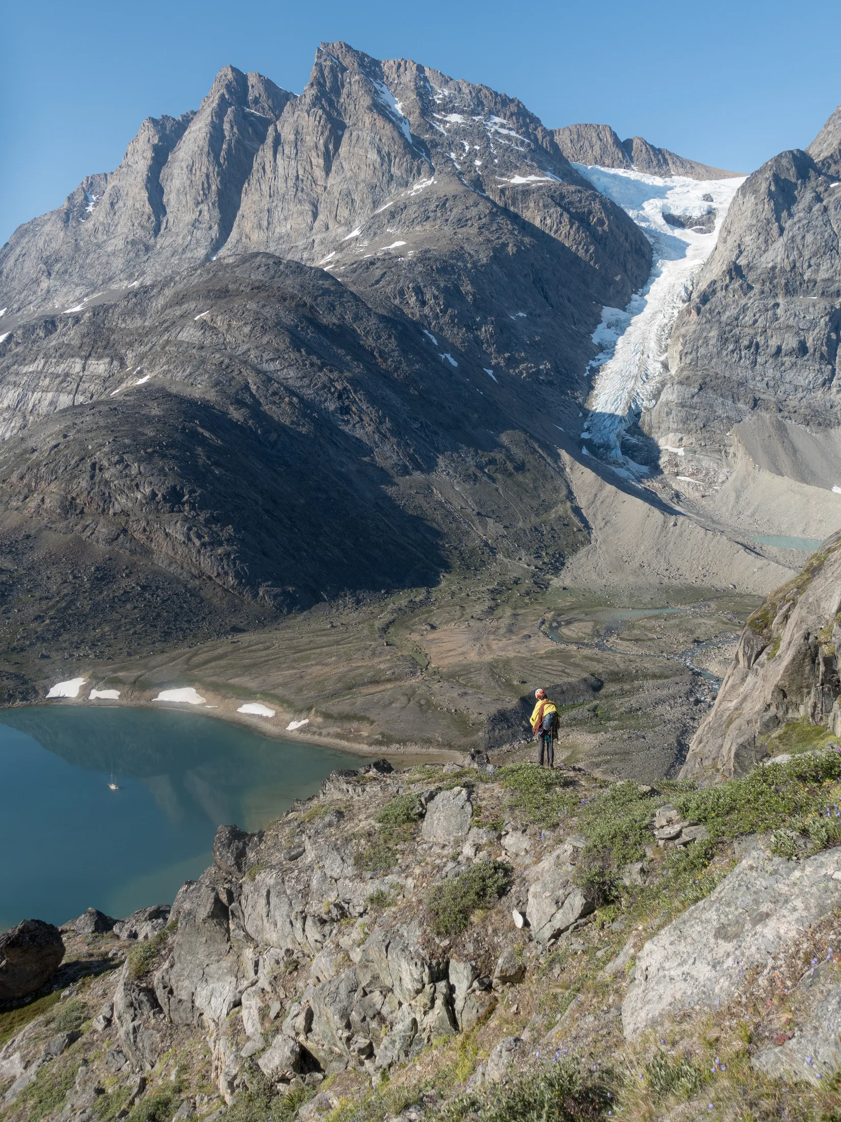
Looking out from the bottom of boat buttress.
The Flying Teabag, 500m E1 5c
Meg and Lara had once again walked up the hill much quicker than Charlie and I, and for the second time the *king line* up the buttress had been stolen from under our noses. Although, to our benefit, we racked up at the bottom, as not to have to go back up the hill. Thankfully, this isn’t Stanage and there is plenty of unclimbed rock - on the RHS of the buttress is a left-facing 100m shield, of which we climbed the right arête. We had aimed to climb the corner but on reaching the base, we realised the face next to the arête would be much better rock. We left the gun at the base and took flares.
Our route traverses out right onto the arête and climbs relatively easy ground up to an obvious belay ledge at 50m. The second pitch took quite some working out - Charlie climbed left along a ledge for some distance before encountering bad rock and reversing. He tried climbing the face on the left, but the gear was not good. Eventually, he came back to the belay and went direct up the arête, then pulling into a crack on the face. From here the climbing on the face was generally on good rock, but with one hard section of bold E1 5c face-climbing. A belay at $2/3$ height was made on a precarious ledge of large loose blocks. The rock above was loose and crumbly - characterised by a darker tone and I imagine has something to do with different volcanic composition. Instead, we traversed one ropelength diagonally rightwards to end up on heather terraces.
At this point, we discussed our descent options - presently we could retreat by threads at each belay, and we were not 100% certain that descent off the back scree slope would be possible. Since we had plenty of time left in the day and were confident on the terrain, we decided to keep going, so long as there was nothing we could not backtrack.
A ascended a few more easy pitches of broken terrain, short walls and ledge systems, before the ground became easy enough to unrope. We scrambled another several hundred metres with nothing harder than PD, reaching a plateau which separates Boat Buttress from the ridge leading to the actual summit.
Here, we could still radio Meg and Lara who were climbing and let them know walking descent looked possible - The ridge has a steep wall to it’s east (climber’s right), and we descended scree which skirts this wall, down onto a moraine at the climber’s left edge of the glacier. From here it was another hour back to the boat. We left the gun at the base, in case Meg and Lara needed it at shore.
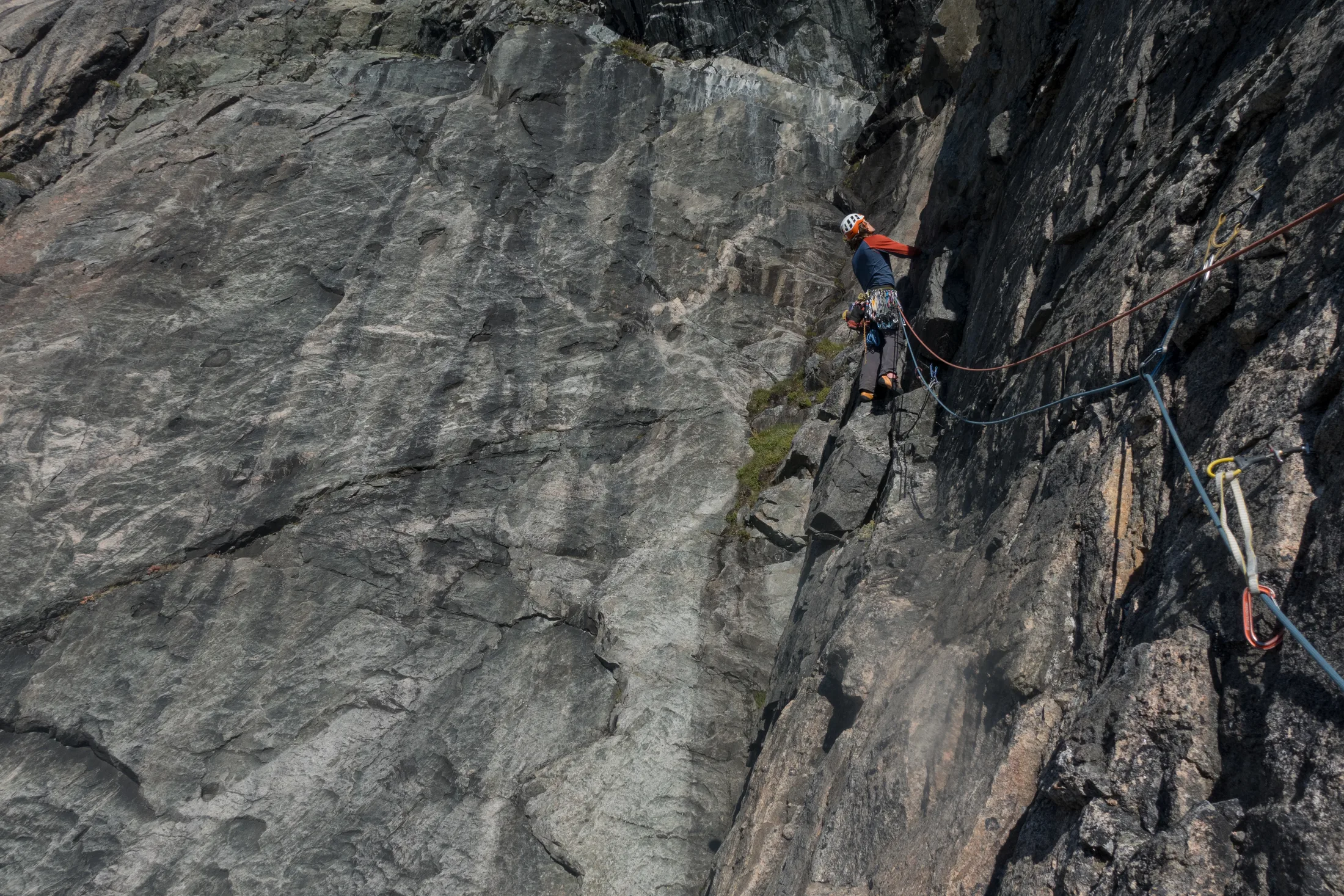
Looking for options on the face.
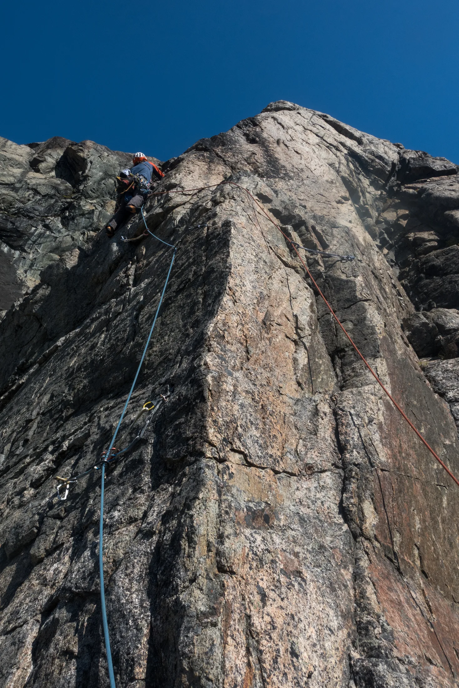
We ended up sticking to the rib.
Septic Arthritis, 550m ** E2 5c
Written by Lara Novak
After the luxurious 10 minute approach, we began up the center of the buttress. The first 50m pitch had excellent climbing, with steep initial moves to get to the first bits of gear. The climbing then became more amenable if much bolder. We encountered a rather large loose block on pitch two that Meg tentatively scaled before performing some delicate moves on exposed ground to a hanging belay. The third pitch remained exposed and delicate but was more straightforward, albeit with a classic grasping-at-grass topout onto a large ledge. These pitches comprised the steepest and most sustained climbing of the route, all at about HVS/E1. We ate some lunch, peacefully looking down at a very small Kingfisher in the bay below and enjoying watching Charlie and Will scaling the steep wall to our right.
The next pitch was once again excellent, up a set of right-leaning parallel finger cracks. However, the ground above looked difficult, with the crack system petering out rather ominously. I therefore embarked on a serpentine two pitches, starting with a 20m traverse to the right before heading back left and up another crack system. Meg did battle with a rather steep and dirty corner (the hardest pitch, E2) to arrive at a section of lower-angled rock. At this point, it was 17:00 and the boys radioed us that they had reached the top. This gave us a rather false sense of hope that we, too, were nearing the end, which was not to be true. However, we were having an excellent time in the warm Greenlandic sun!
We continued to make our way up the face, which had begun to include some choss scrambling - but with enough quality climbing to keep the route enjoyable. The boys radioed again that they were back on shore at 18:00. We continued upwards on our seemingly never-ending climb. After 12 pitches, we reached another large ledge with a distinctive boulder Will and Charlie had mentioned as being at the top of their route as well. The ground became much less steep, so we unroped and scrambled another few hundred meters to the top of the buttress, reaching it at about 22:00.
We skirted around the east edge of the ridge over large boulders and descended the scree down to the glacier, staying high and traversing northeast to avoid the cliff drop-off to our right. We reached the boat at 23:30, very grateful for the warmth, comfort and delicious meal awaiting us.
10 Aug: Rest Day
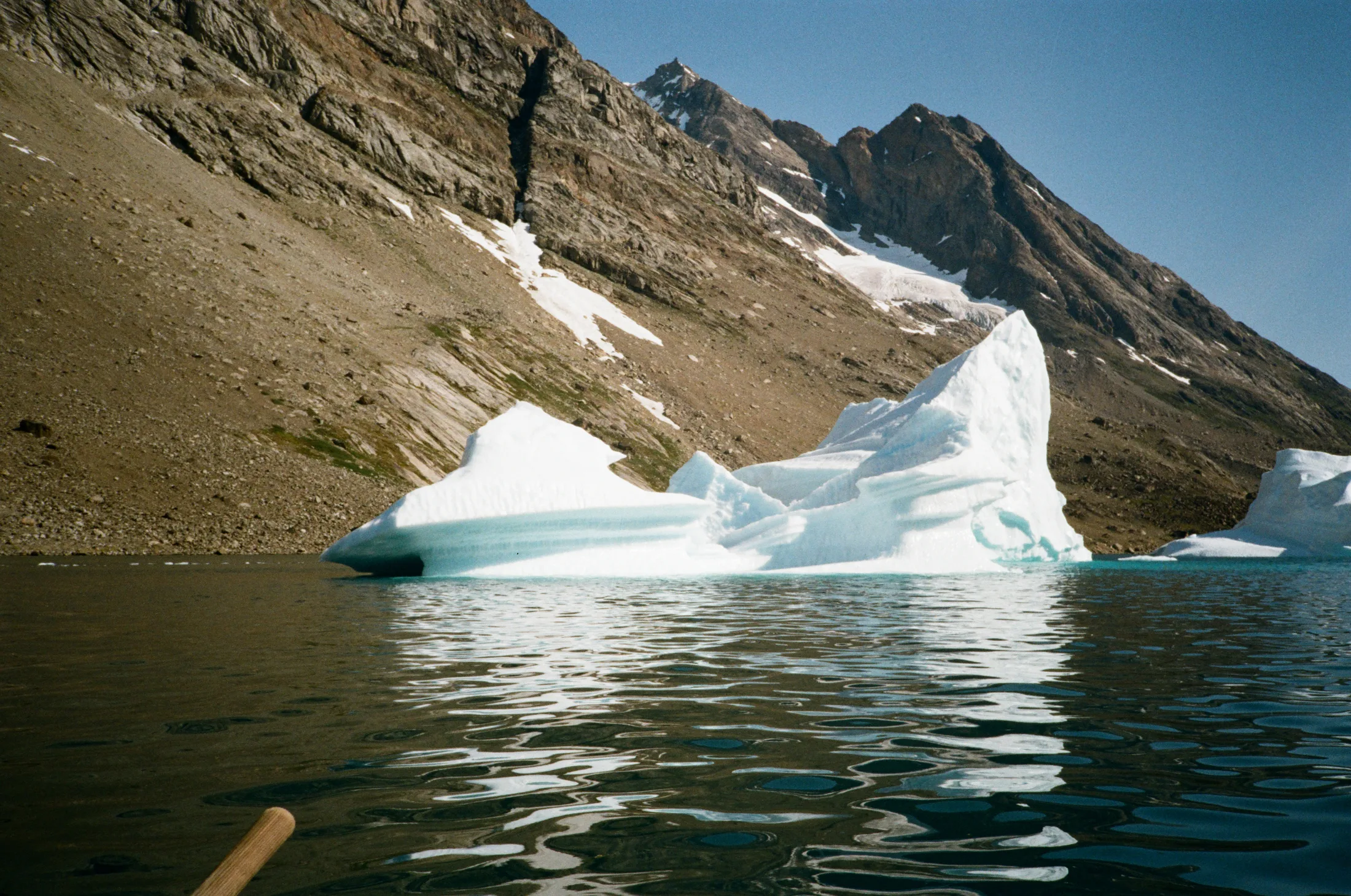
Iceberg zoo!.
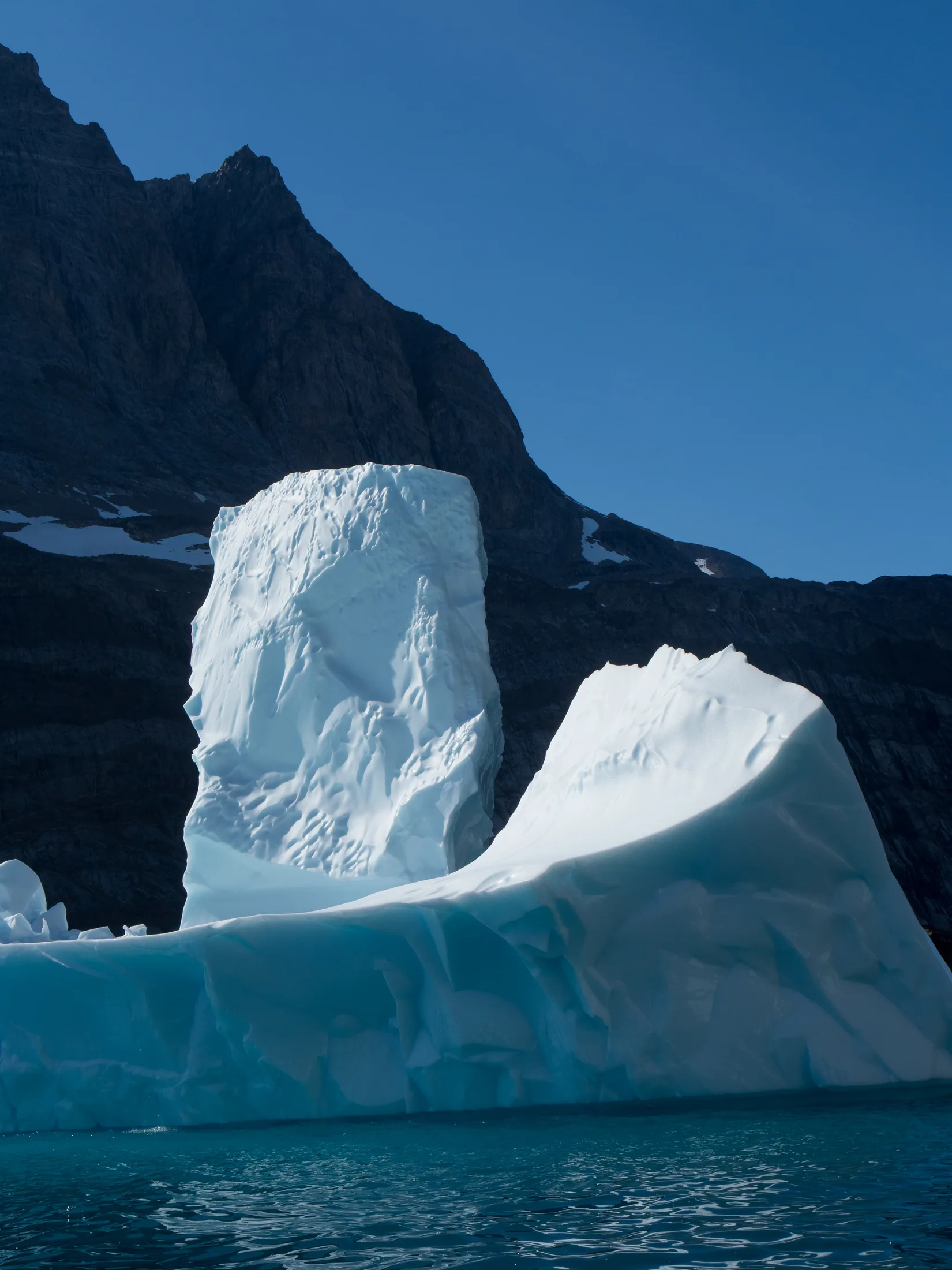
Very cool.
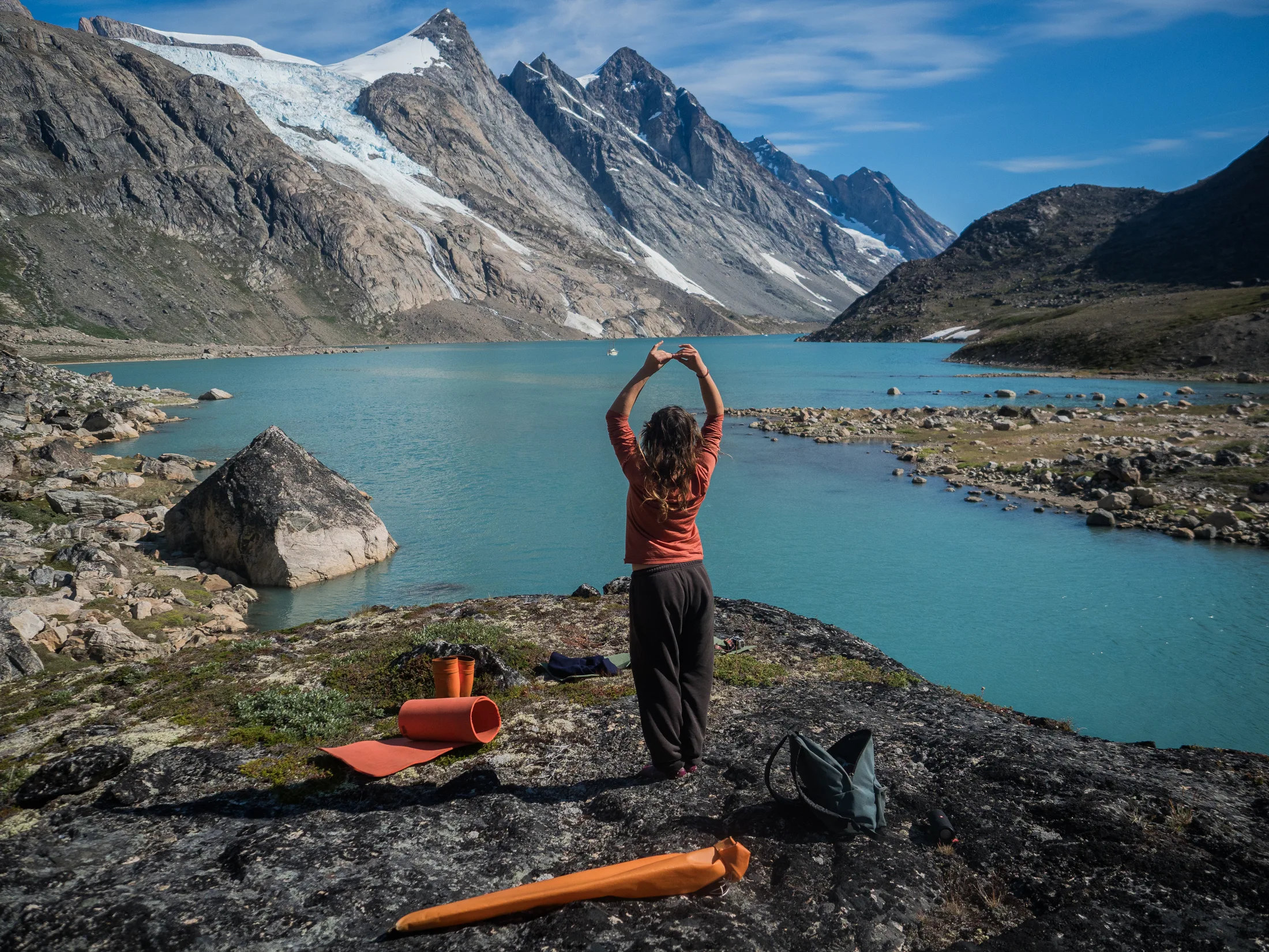
Restful activities!
It is difficult to take a rest day when one knows they must leave soon, but our minds and bodies most likely needed it to make the most of the last couple of days.
Charlie and I spent the day taking our dinghy, the Phoebe Rose, to “The Ice Zoo”, a collection of large icebergs grounded a mile away from the anchorage. We also took depth soundings of the anchorage using a lead line (see Section 11). Meg, Lara, Bella and Gabi went on a short walk up to the base of the glacier.
11 Aug: Phoebe Rose Ridge
We all had an urge to get up high and see the icecap and surrounding fjords. From the top of Boat Buttress a ridge continues north to the top of an unnamed mountain (elevation 1613m, estimate from Google Earth lidar). We were unsure if the women’s SAC team had scouted the top of this, as their routes Imaqa and La Sirene top out on the south end of the ridge. We decided we would go up anyway as it looked like a stellar day out!
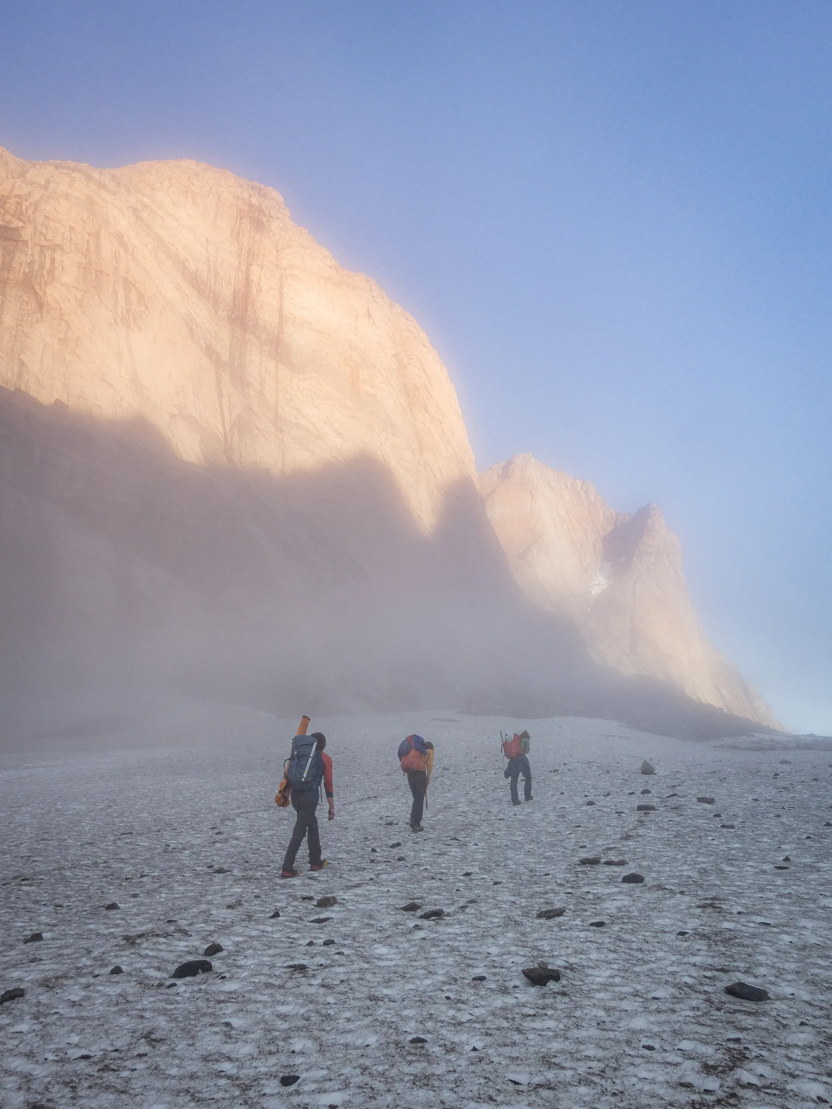
Walking in early.
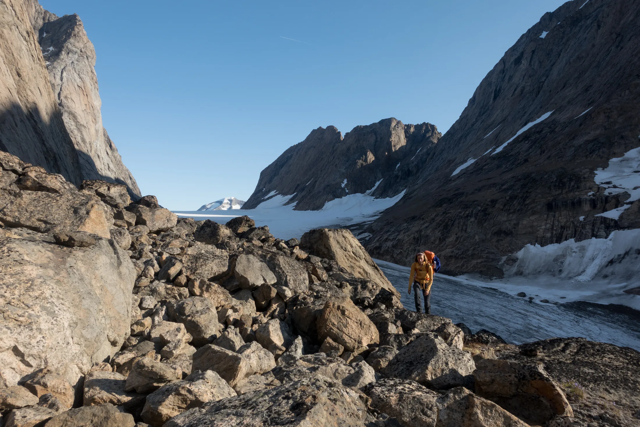
Looking up the glacier.
We set off as a four with a lightweight scrambling rack, mountaineering kit and a gun. We retraced the descent for Boat Buttress, ascending out the top of a spectacular cloud inversion. Looking up at the ridge we stashed our crampons and axes - the east edge was snowless.
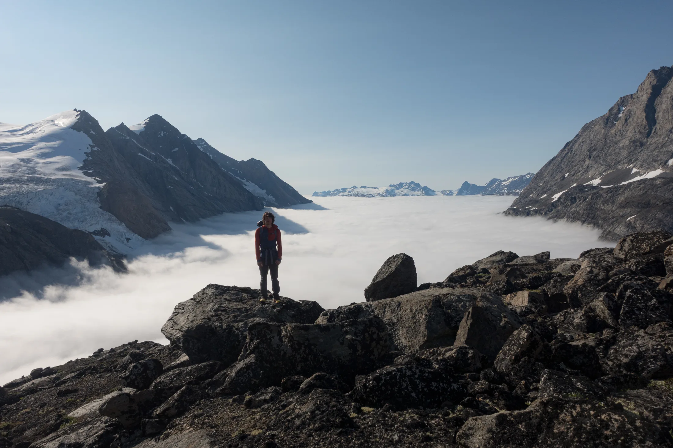
Cloud inversion!
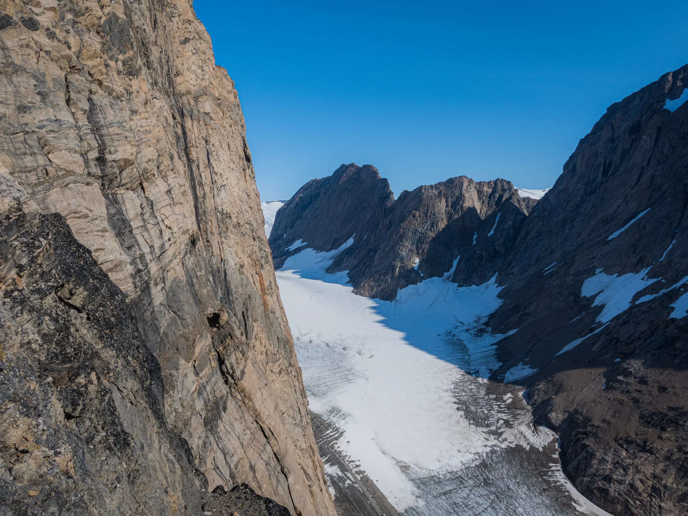
A steep, accessible wall with promising lines.
We scrambled up the edge of the ridge (grade 1). After a couple hundred metres’ elevation the ground steepened and became looser, but did not merit a rope. Reaching the ridge proper, we found a cairn we believe marks the descent from Imaqa. From here, the ridge continued up on easier-angled ground. The sheer 600m drop to our right and hugely crevassed glacier to our left made for quite an experience!
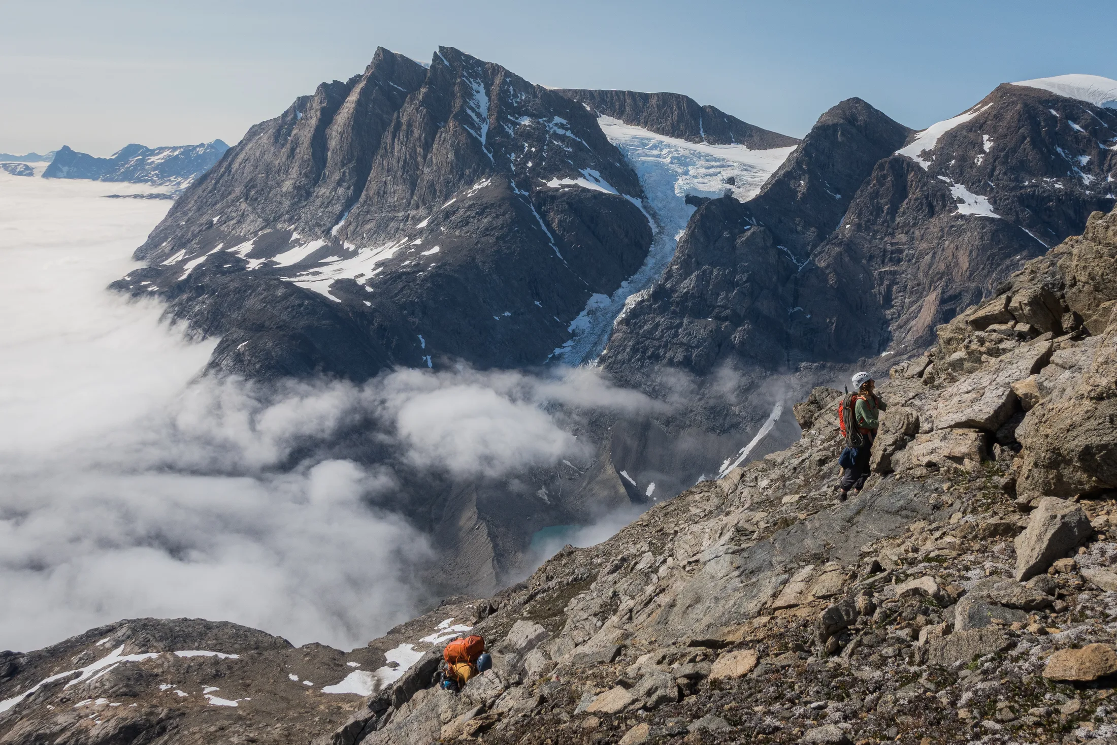
Scrambling section.
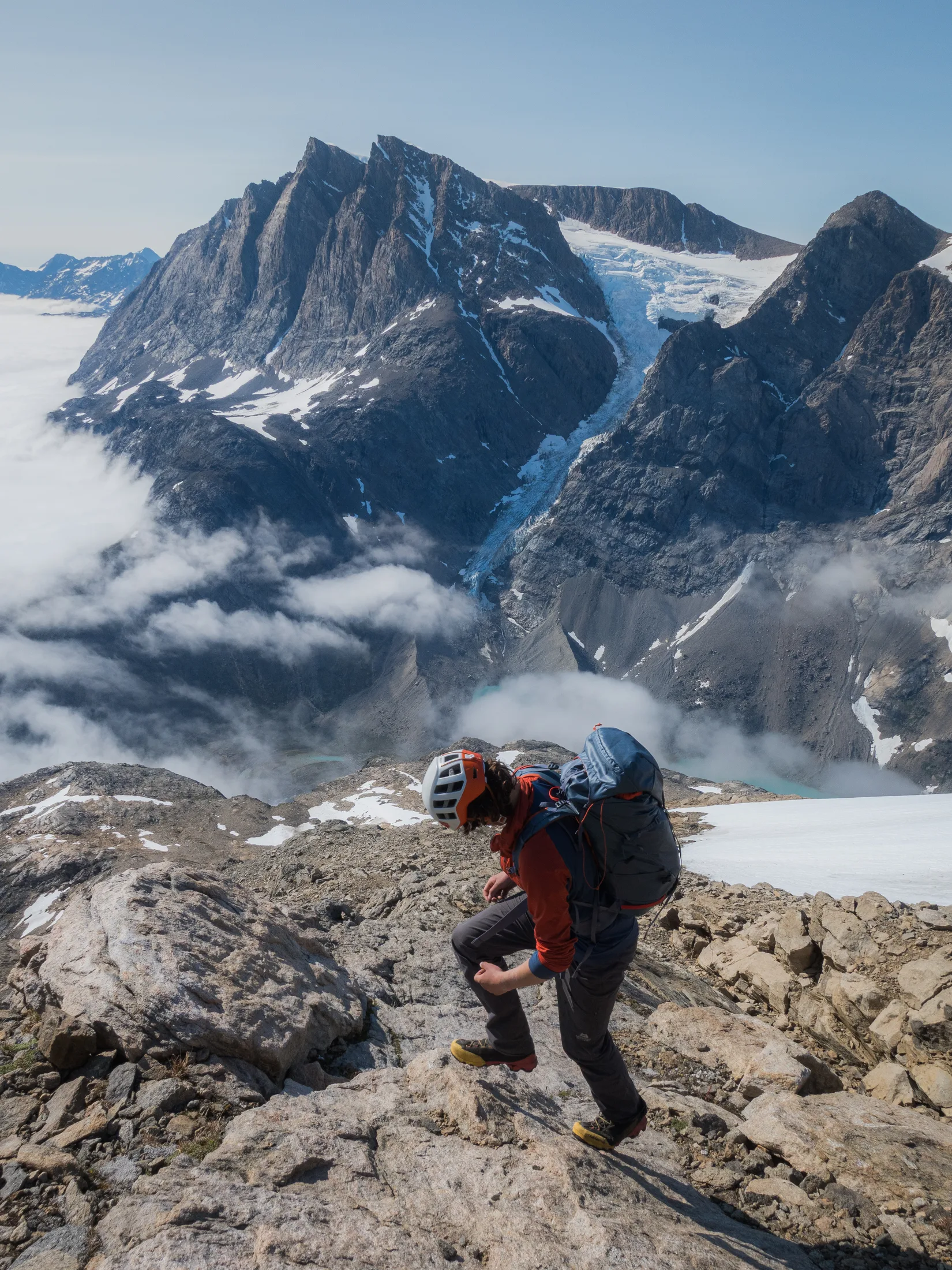
Nearly on to ridge.
About 2km past another cairn (most probably marking the topout for Imaqa), we reached a false summit. In front of us was a large drop to a heavily crevassed saddle with consequential drops either side. Crossing it would be tricky, especially later in the day. On the other side was steep loose climbing to the true summit. In light of the unprepared-for dangers and difficulties, it was decided this would be our high point, which we named Phoebe Rose Ridge, after our ineffable dinghy.
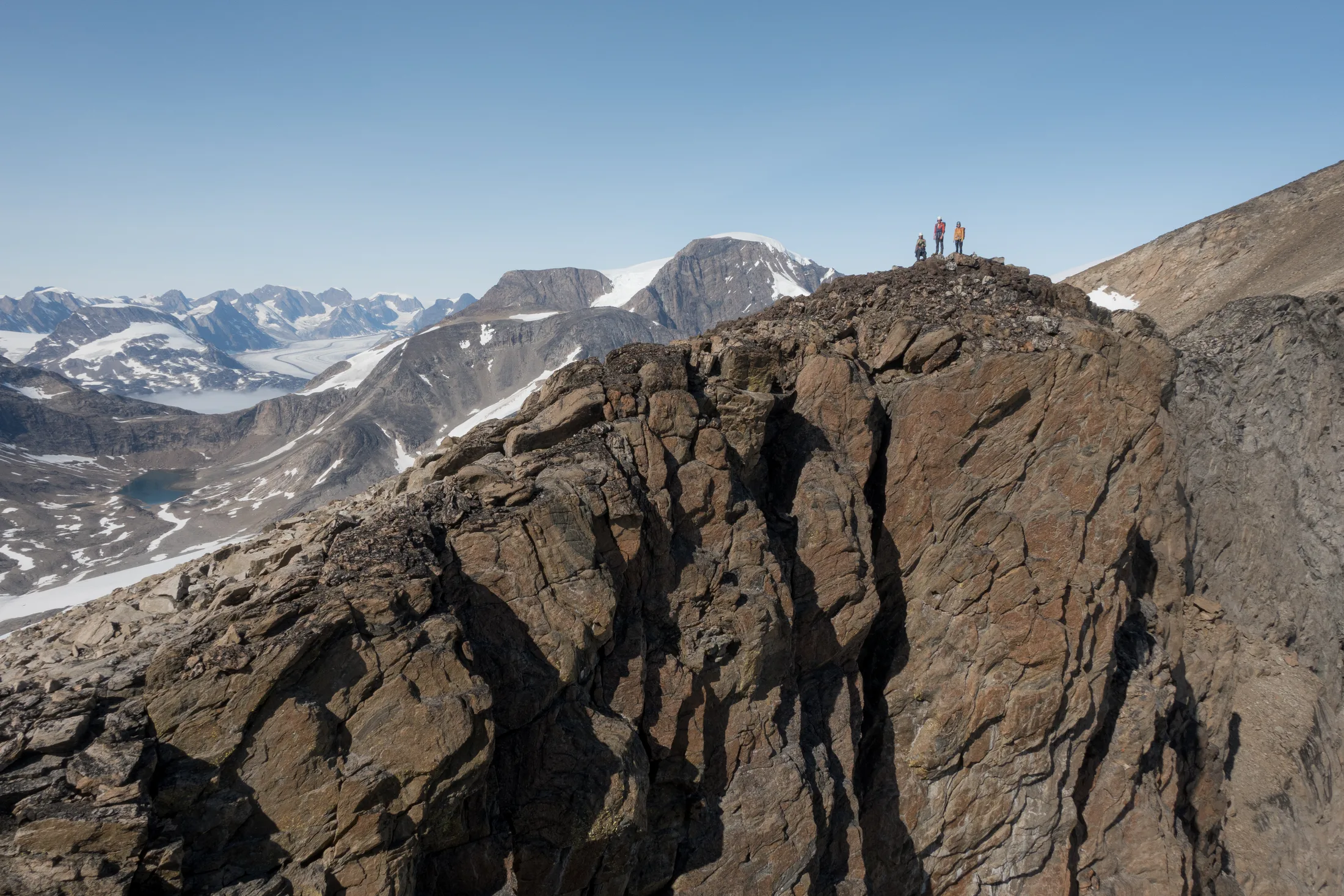
On to the first summit, where we found a carin.
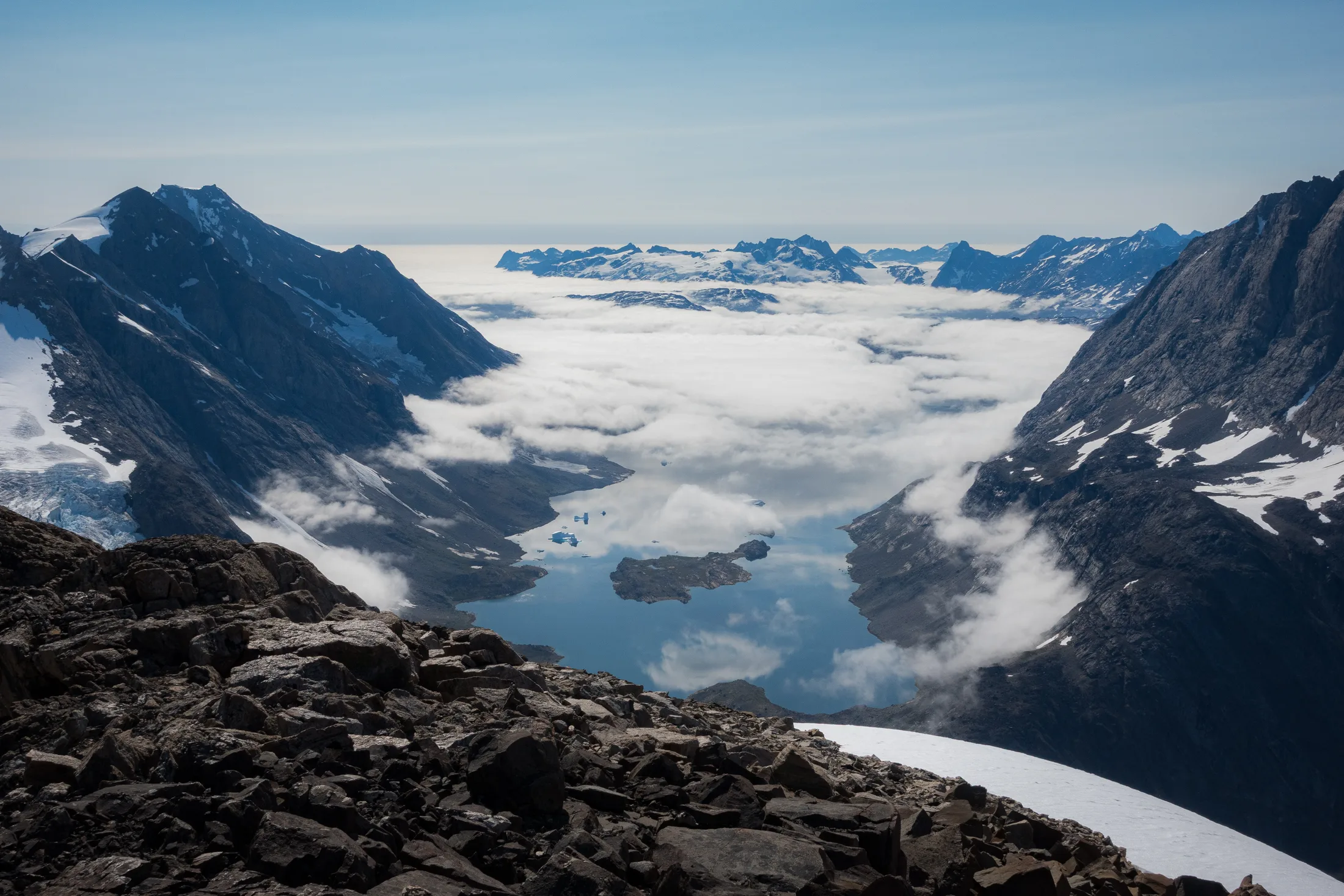
Looking out to the fog over the coast.
Looking back down the ridge.
We built a cairn and gazed over the icecap. We were in high spirits - despite not making it to the true summit, looking our high above Graah Fjord still felt like a huge achievement. Reversing the ridge no rope was needed, and it was quick work back to the boat with some glissading down snow patches. We discussed coming back up the next day to try for the true summit, but it was decided that crossing the col had too much objective risk and would most likely mean a bivvy on the summit. This was an objective we did not necessarily have time for, with our weather window coming to close.
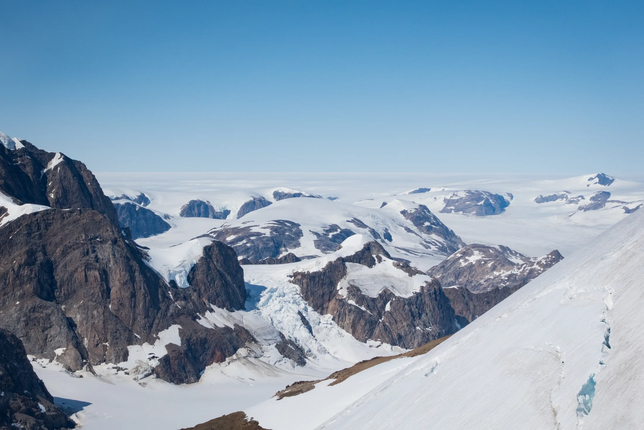
The ice cap!
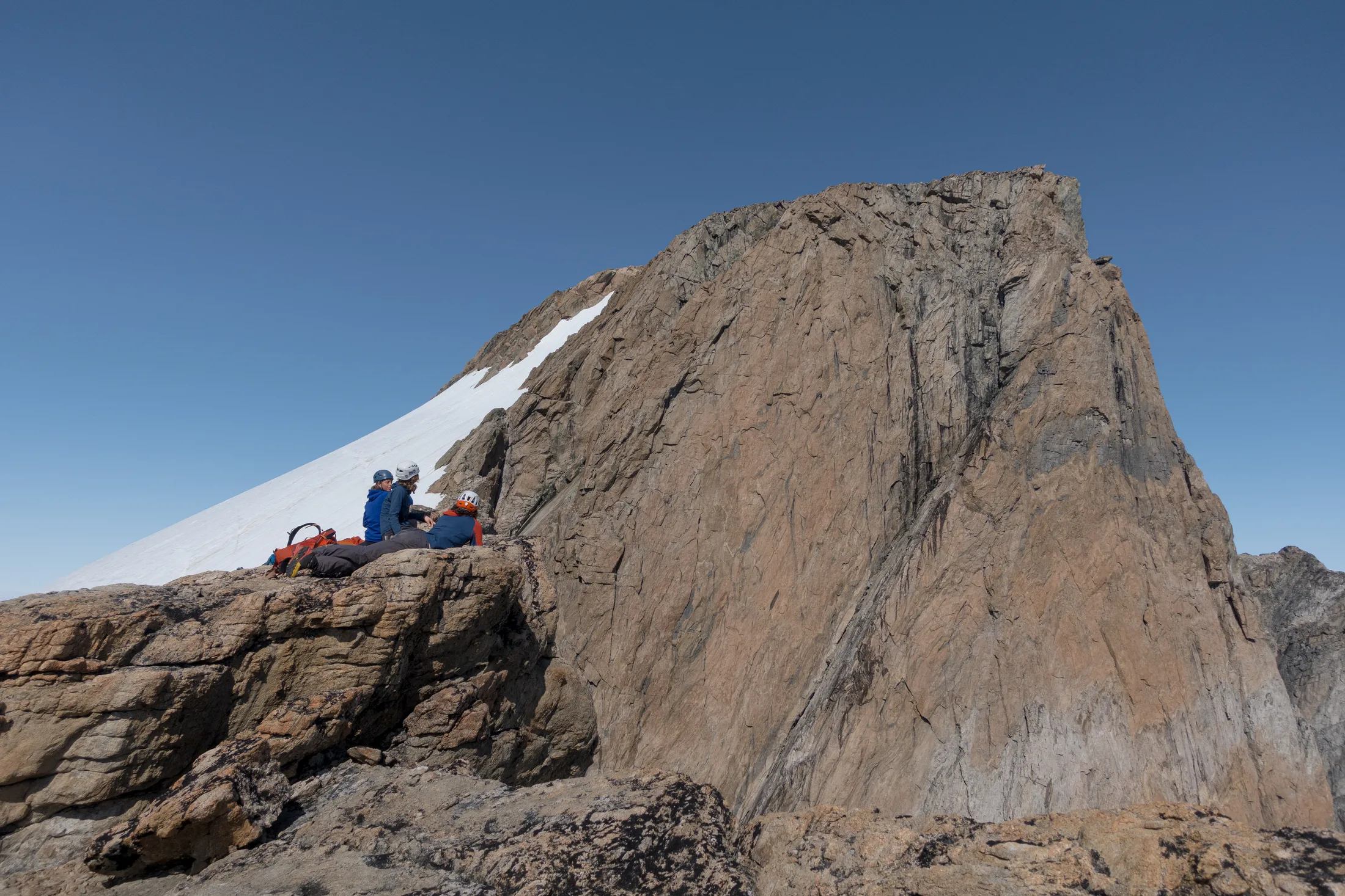
Our high point.
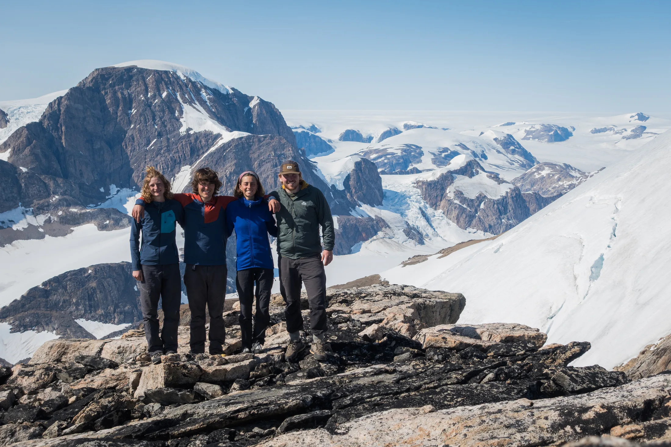
Team photo on our high point.
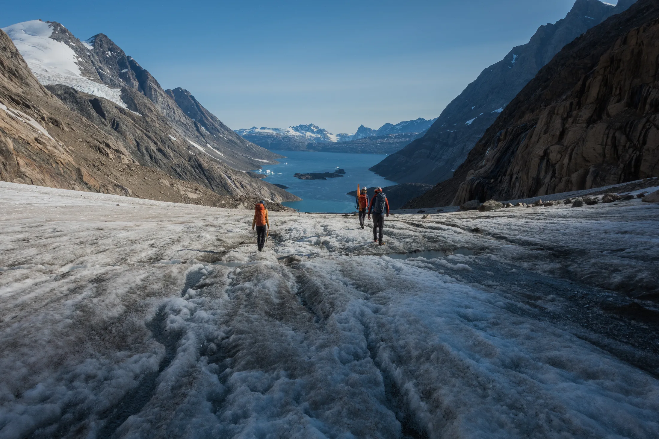
Back along the glacier!
12 Aug: William’s Step & Pimple Mountain
This was to be our last day of climbing, as an approaching low pressure system meant we had to leave for Kulusuk on the 13th. Lara and I wanted to do more technical rock climbing, as is our strong suit, and Charlie and Meg wanted to try another mountaineering objective.
Solar Eclipse, 180m *** E1 5b
It is heard that beyond the great lands of Avalon lies an impeccable wall of granite so high and impressive that King Arthur requested a table be made of it to accommodate his greatest of knights. Such a wall is accompanied by an intimidating tower of glacial water, so pure that Merlin brews his strongest of potions with it. On top lie pools of great beauty that only the most talented of bards have the fortune of singing ballads about. Despite this, it was only Will that could appreciate its beauty. For many days and many nights, he longed to quest towards its golden spires, until finally a great warrior, Lara Novak, agreed to uncover the mystery with him.
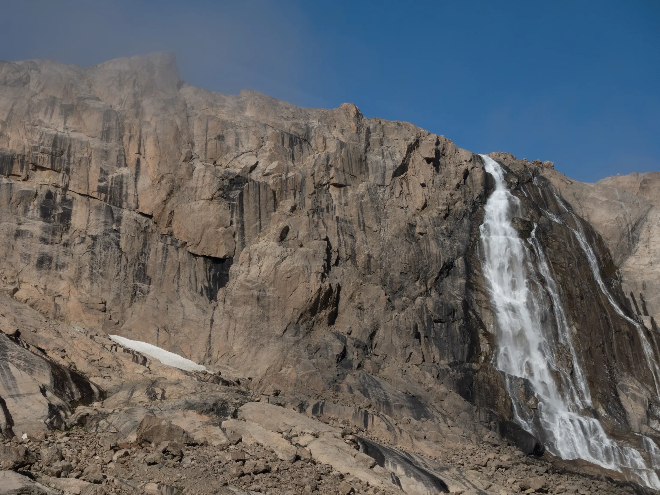
William’s Step!
I was very excited to try and climb on William’s Step. We had named it so because I would not stop banging on about it - it looked great, and I was unsure why the others did not agree with me. Steeper than everything else around, the crag heads the southern valley, with a large waterfall to its right. The top of the step sits in a large basin surrounded by higher peaks.
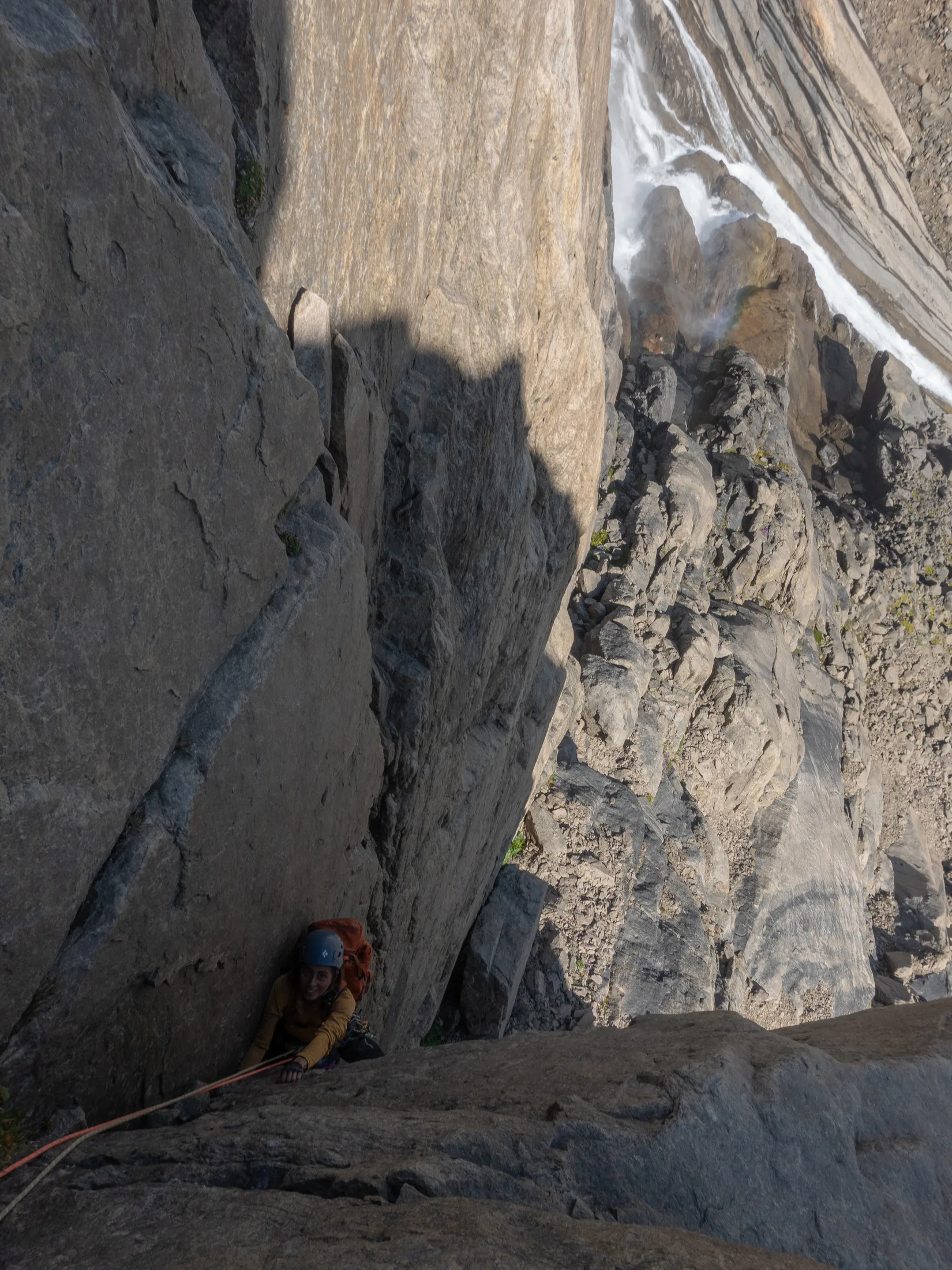
Lara On the first corner.
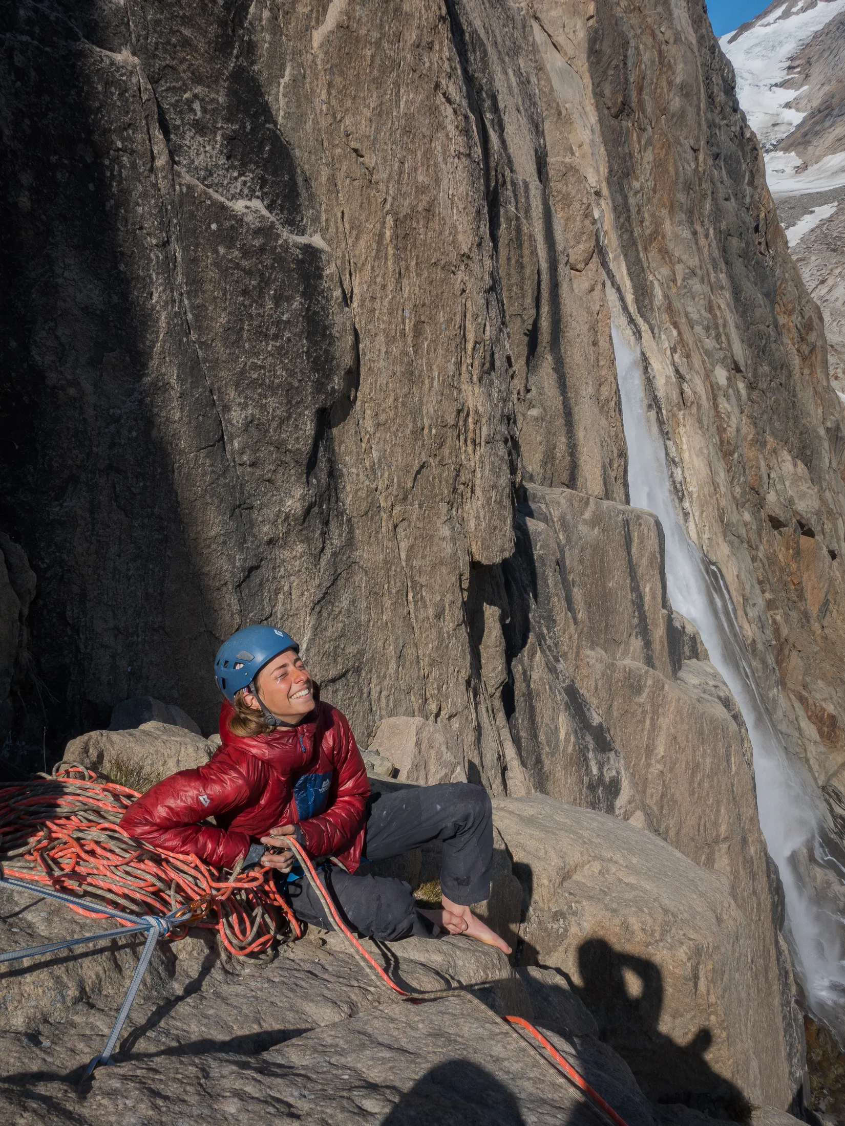
On a lovely pedestal belay!
We rock-hopped to the scree below the crag as the morning fog burnt off, stashed the gun near the bottom and began scrambling up to the base of the climbing. The whole crag was waterwashed which was superb - no choss and clean rock! It looked like we could scramble or abseil a couple of rope lengths down the left side of the crag to descend. We were on!
There were a couple of obvious crack and corner systems available. After some scrambling around the crag, we settled on a system starting with an overhanging 30m corner crack.
The corner was excellent - all hand jams with good gear and stemming at about E1. The next pitch was of less quality but continued up delicate corner moves on mostly good rock to the top of a rock pedestal. There were many excellent options to continue, up roofs, hand traverses or offwidthing, but we settled on the technical face and crack in front of us, about E1 5b. Superb. From the top of this, Lara took a direct line up a slab before traversing left and up a corner finger crack, again E1 and of great quality. The final pitch up stepped and heavily waterwashed rock topped out into the beautiful basin.
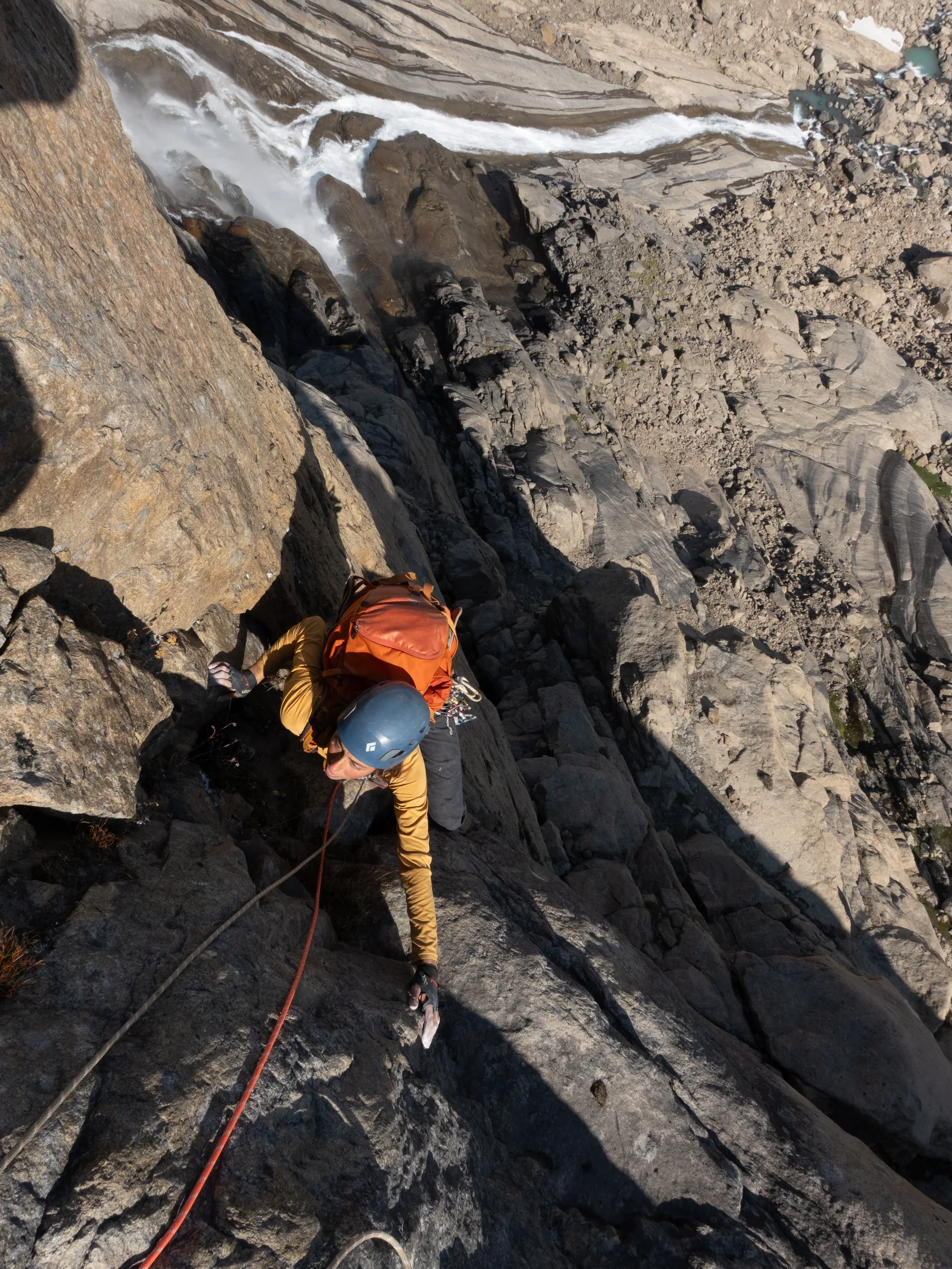
Lara seconding the crux pitch.
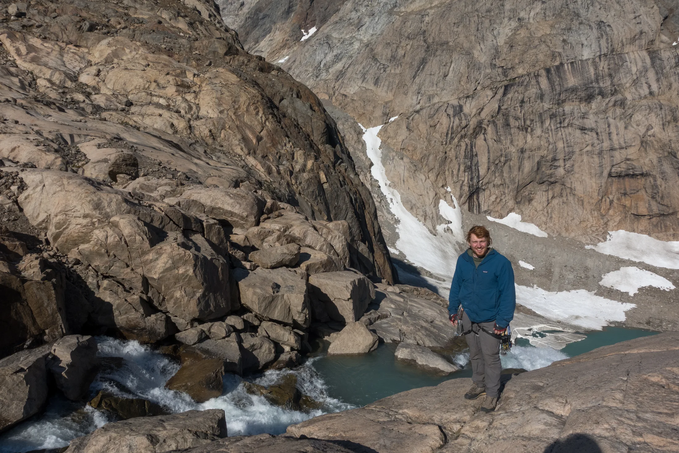
Waterfall!
To finish the route, we went swimming in the glacial pools at the top of the crag. As we emerged we noticed it had gotten a little darker, and with great excitement we realised it was the solar eclipse. We radioed Meg and Charlie, who seemed somewhat nonchalant about the whole thing, before obviously deciding to name our route after it.
Descent was down the climber’s left of the crag. We slung a large boulder in the left-hand waterfall, which got us 20m from the ground. A second belay of pitons and nuts got us to the ground. I think scrambling down would be possible but would be steep and consequential.
By the end of a successful week exploring the two valleys we were feeling much more confident and would have liked to try something bigger. However, due to the fickle nature of the weather later in the season and our temperamental gearbox, we decided it was time to leave.
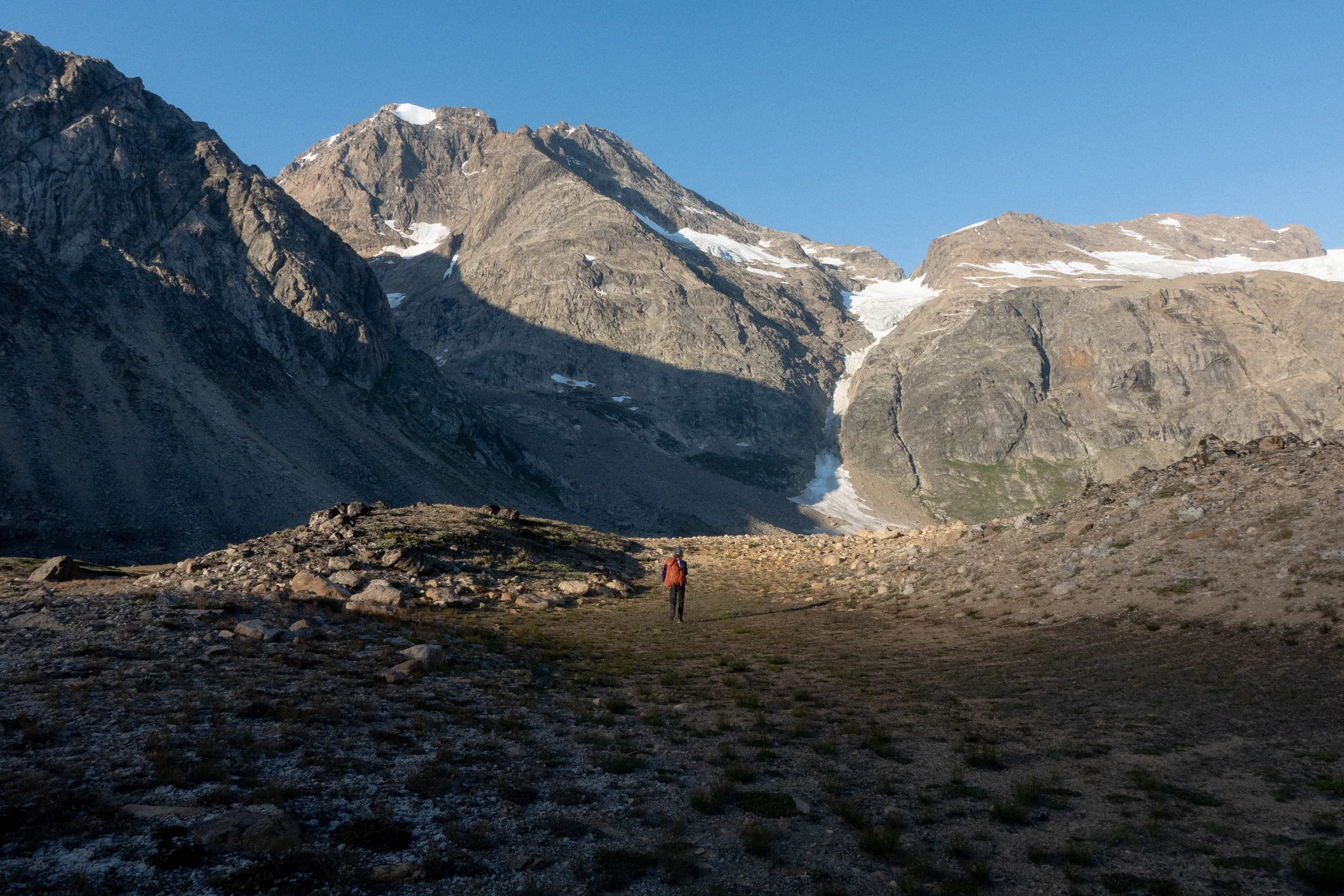
Walking back home!
Pimple Mountain
Written by Meg Loftus
After our failure on Phoebe Rose Ridge, Charlie and I were certain we wanted to reach the summit of something, so we picked the easiest thing we could see. To the north of the bay was a smaller summit, in fact barely more than a blemish on the rugged skyline, bearing all possible resemblance to a cresting zit on an adolescent face. Thus it developed the rather unfortunate name of Pimple Mountain. We set off early in thick fog. I thought I knew where I was but it turned out I didn’t, thankfully Charlie led us the correct direction and the fog soon lifted as we scrambled up grass and low angled slabs. We were filled with anticipation as we reached the shoulder and headed up some steep snow slopes. A few hundred metres of scrambling would lead us to a lovely loose ridge soaring away to the summit. We gained this easily and with great excitement. The north side of pimple mountain fell away abruptly into the northern branch of Graah Fjord, a dusky frightening blue and littered with icebergs. For Charlie and I who are both quite obsessed with finding new anchorages, mountains and places in general it was tremendous to see a whole new part of the landscape. We had hoped (if we had more time) to sail round into that branch and attempt Charlie’s dream mountain Rigspidsen, but from our observations the northern branch of the fjord would be more serious to sail into and without an anchorage safe enough to leave Kingfisher. Ridspidsen is a shapely peak as a mountaineering objective but we didn’t think there would be much rock climbing on this side. It is heavily glaciated and would involve several complex crossings.
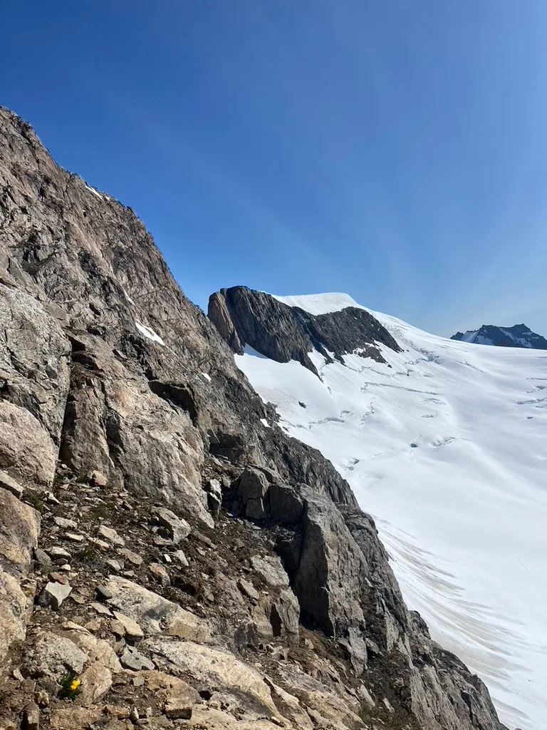
Summit in the distance.
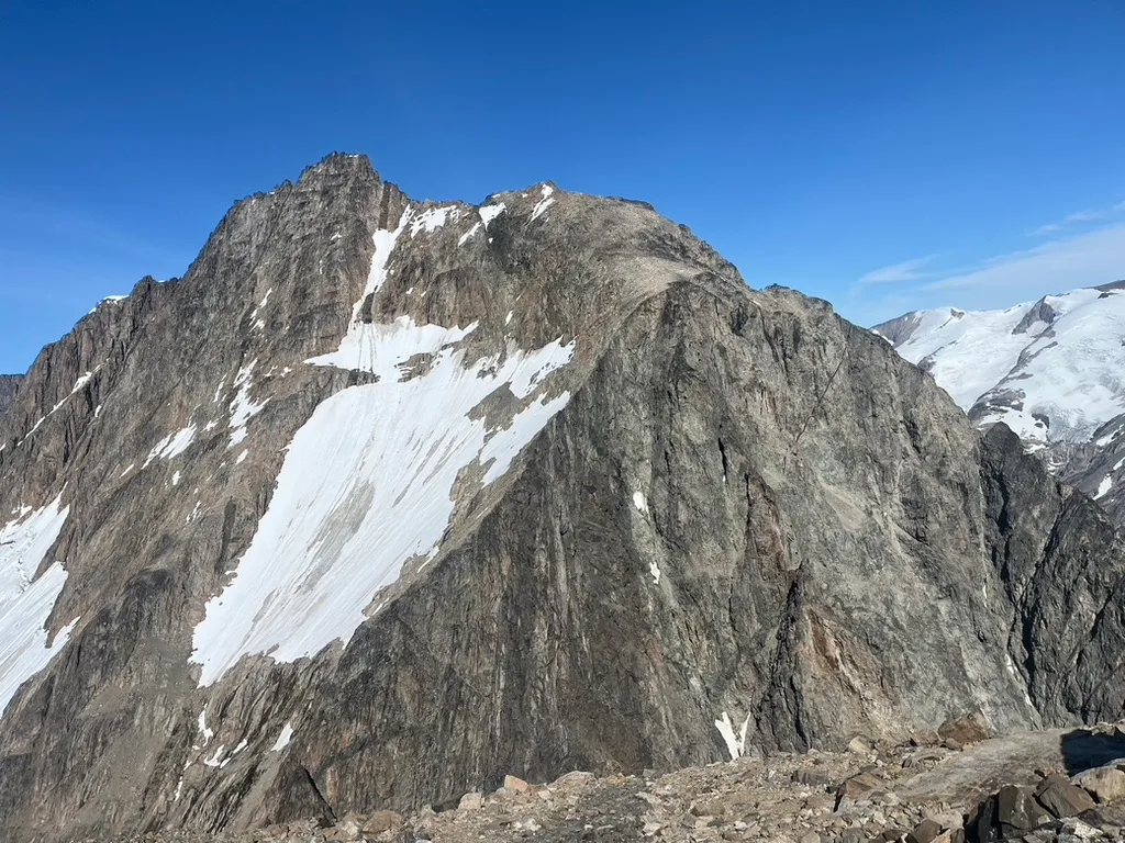
Hakkefjeld!
Although the ridge was texturally comparable to an enormous Weetabix, we made good progress along with a few difficult steps. Alas, it was not to be all so easy. Only a few hundred metres from the summit of Pimple mountain our ridge ended in a series of huge overhanging blocks. A deep gully streaked down on either side, one to the indigo waters of North Graah fjord, the other to the glistening shoulders of the southern glacier. We paused briefly and discussed.
First we set off down the southern flank of Pimple mountain, hoping we might be able to traverse into the gully from lower down. These were very loose and sandy but with small interesting flowers. I think that in Graah fjord I saw a new species of flower every single day. We had almost reached the glacier by the time we had to give up, as the gully was steep cliffs all the way down and the glacier a terrifying mass of crevasses. We scrambled back up to the summit to have a look at the ridge again.
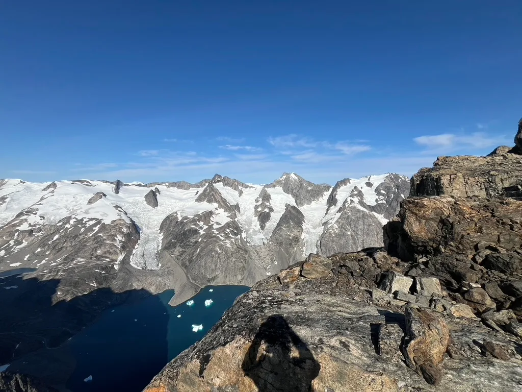
Looking out to the next fjord over.
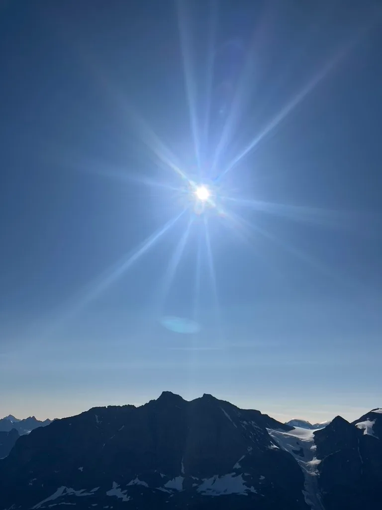
Trying to photograph the eclipse!
Where the ridge dropped off was too steep for us to scramble down so we started abseiling in to see if we would be able to progress forwards. Unfortunately it was all very loose and overhanging, and we thought with little chance of climbing back out it would be stupid to continue. It had become very dim and cold and we felt strangely apprehensive. Setting off back down the ridge we were disappointed to leave Pimple Mountain so close to success, but as we were heading back along Lara and Will called us on the radios to tell us there was a solar eclipse. Wow! We realised that was why it was all cold and dark. Lara and Will generally are the brains of the operation.
On the southern flanks we had probably the best glissading of our entire lives, zooming along and leaping over little crevasses. When we arrived flushed and giggling at the bottom our failures on Pimple Mountain were almost forgotten. It was our last day in Graah Fjord which was definitely a bittersweet feeling but it was one of the best days of my life.
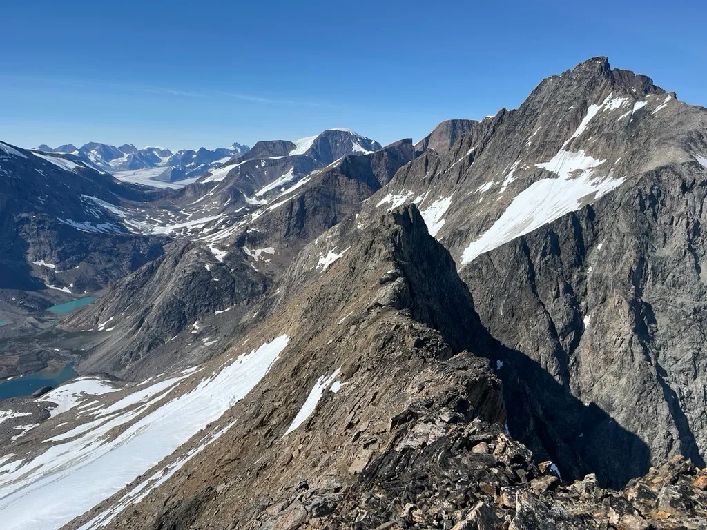
Looking back down the ridge.
5.7 Leg 4: Sailing from Graah Fjord to Kulusuk
Written by Lara Novak
There was a big low pressure system passing by on the 16th that would leave us trapped waiting for another window; we were also running low on cooking gas, and the prospect of having to impose a tea ban was unwelcome. We therefore decided to leave for Kulusuk on the 13th.
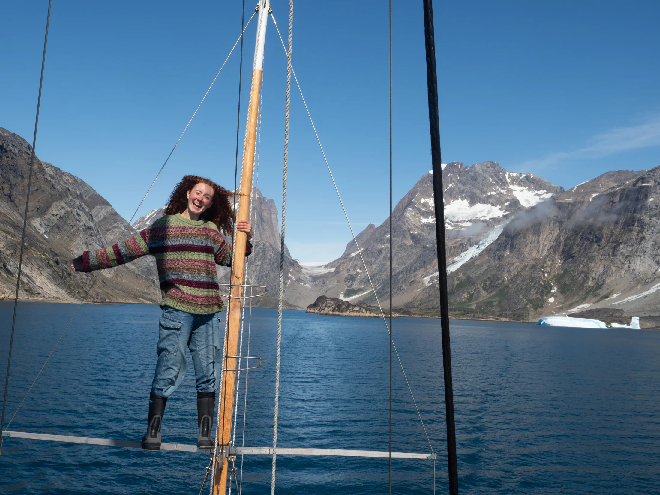
Saying goodbye to Graah Fjord!
After a morning of packing and stowage, it was time to haul up the 100m of scope (thank goodness for six-person crews) and leave Graah Fjord. The feeling was bittersweet, as we had managed to complete all we had set out to do, in consistently beautiful weather; but at the same time leaving behind such a magical place, one feels they could never have enough time there.
The fog descended as we approached the fjord mouth, unfortunately in conjunction with reaching the ice band. Some slightly stressful watches ensued, but by evening the fog had lifted and the ice had thinned.
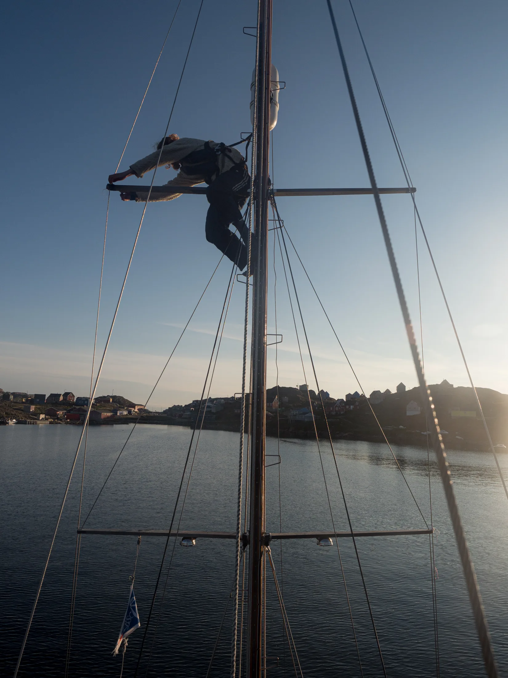
Making Repairs to stop chafing.
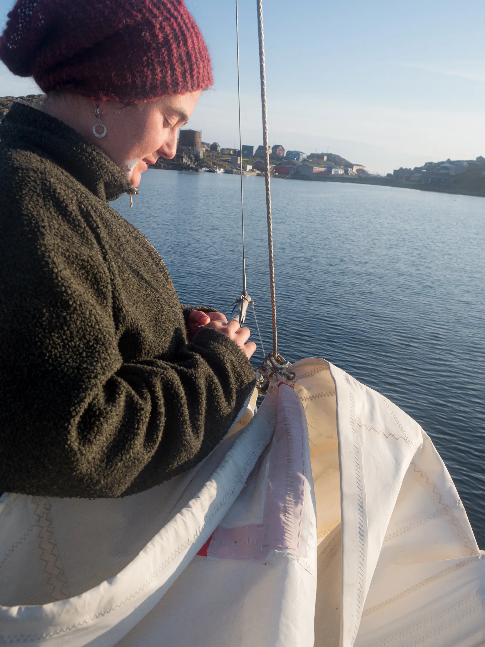
Fixing the sail from the chafing.
After the fog it was very beautiful, with our first view of the rugged coastline around our heavenly fjord, it having been thick mist when we approached. Black and white mountains stretched as far as we could see to the north and to the south. The sea was a lovely lavender colour and full of tiny transparent icebergs like tinkling bits of glass. I was making chili with tinned sweetcorn which was very exciting and Charlie was posted on the bow to look for icebergs, but he didn’t have his glasses so he would only see them ages after Gabi who was steering. He found this very upsetting but we all laughed at him cruelly. - Meg
The passage up to Kulusuk was uneventful other than a spectacular orca sighting, with two bursting through the surface less than 10 meters from the boat before disappearing again a minute later. The morning of the 15th saw us back in Kulusuk bay. We returned the rifles to the Pirhuk cabin and drank copious quantities of tea using the camping gas from the emergency shore barrels.
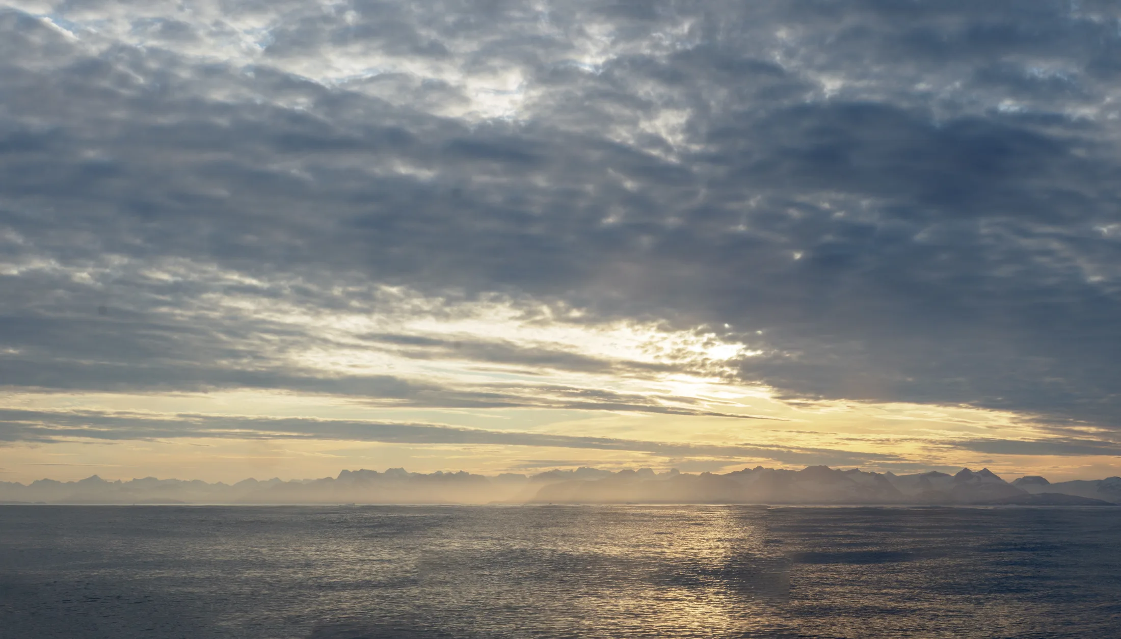
Final Look at the coast around Graah Fjord.
5.8 Leg 5: Sailing to Iceland
Written by Lara Novak
Our last morning in Greenland, the 16th of August, was greeted reluctantly by all crew members as we dragged ourselves out of bed to weight anchor. To our great joy, the engine engaged and we said goodbye to Kulusuk. We motored east for the first 20 hours into light headwinds, with the knowledge of a large low-pressure system to the south which would bring a northeasterly shift. When this arrived we began sailing, and after 24 hours, both the air and sea temperature noticeably increased as we exited the East Greenland current. Over the next two days, wind remained light but continued to come round to the north. Two of my fingers on my right hand had become alarmingly swollen and painful after leaving Kulusuk and I began to take co-amoxiclav in case this proved to be an infection.
In the early hours of the 19th, the wind died and we attempted to start the engine, which made an alarming noise. At first fearful of some more technical issue, we realised we had run the fuel tank dry; the last time we had refilled had been in Kulusuk on the 2nd of August before heading to Graah Fjord. We still had 50 litres of diesel in jerry cans, enough for about 24 hours of motoring, but it was essential to not squander this as it would be needed to enter Vestmannaeyjar. We thus became a lot more frugal with our engine usage!
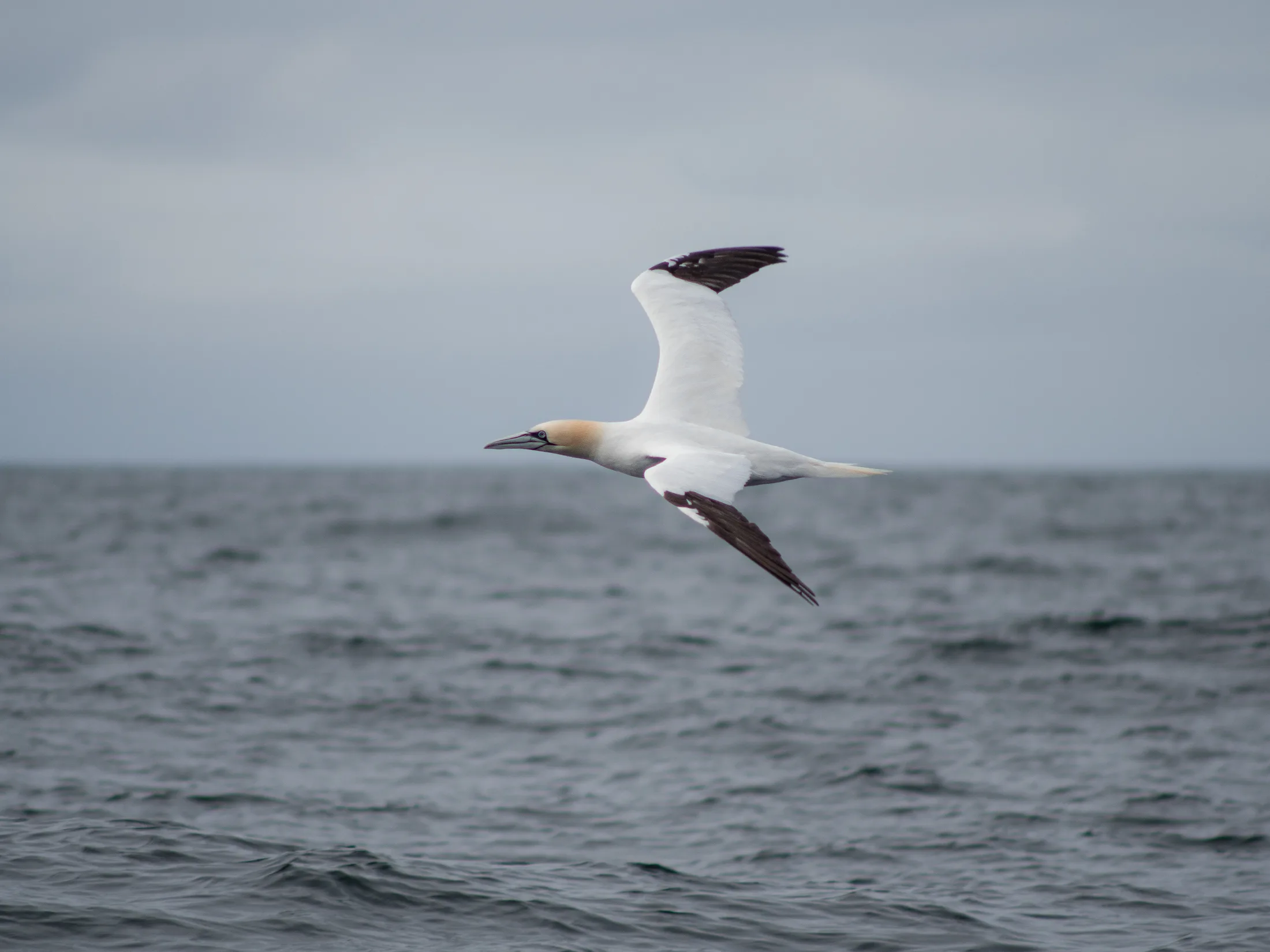
Ganets!
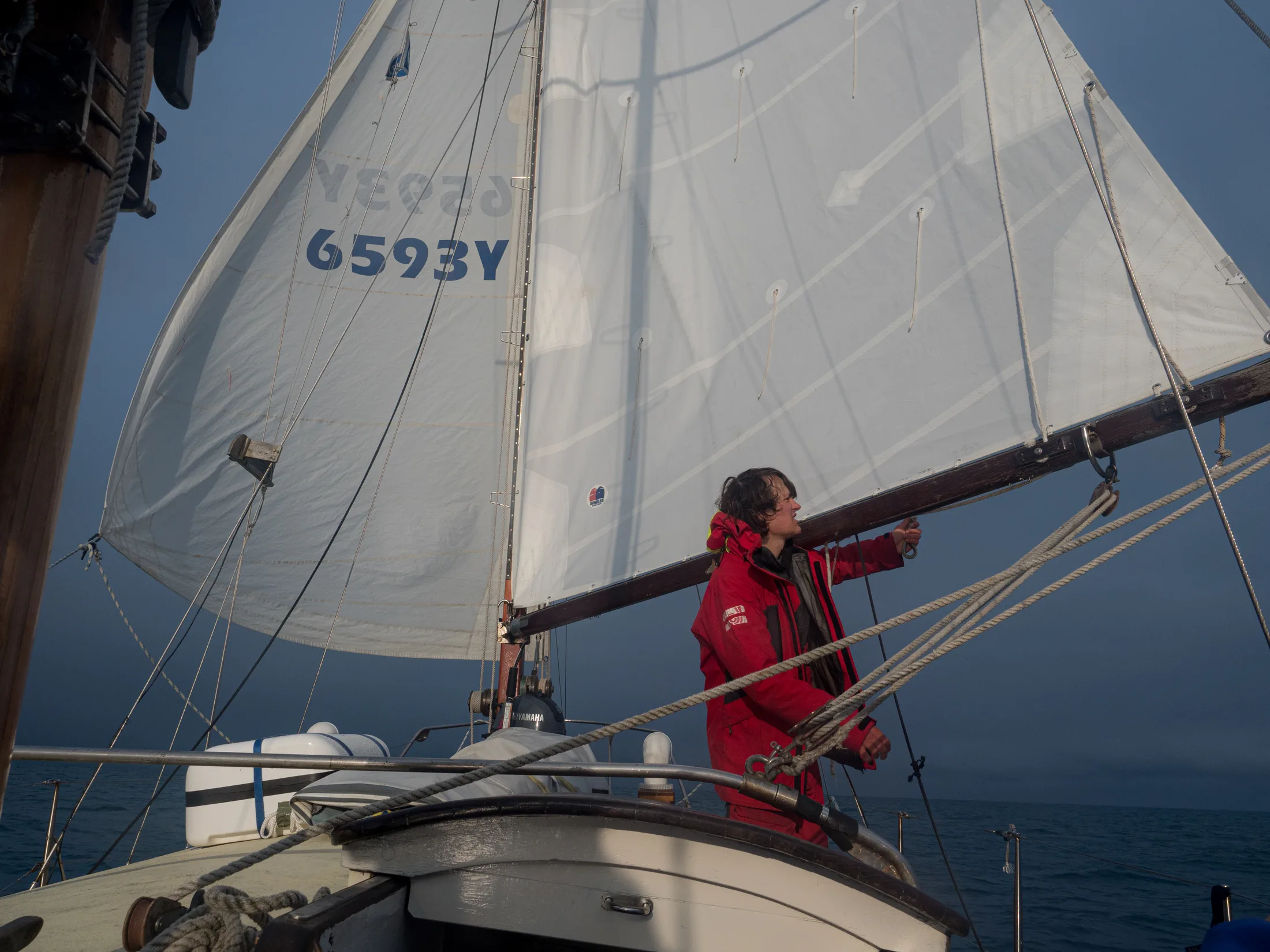
We did a lot of slow goose-winging.
On day 4, we ate our last precious fresh vegetables: two suedes that had come all the way from Scotland. I believe a suede curry has never tasted so good, nor will it ever taste so good again. Spirits were high as land was sighted on day 5, accompanied by a breaching humpback that provided 20 minutes of excellent whale watching.
By the morning of the 21st we were within 60 miles of Vestmannaeyjar. The wind was light but we managed to continue sailing until arriving in Vestmannaeyjar at 16:30, with the dark jagged peaks of its smaller islands emerging dramatically from the clouds. I headed to the hospital and was put on more antibiotics, but allowed to stay living on board.
The weather was due to turn in our favour on the 25th. We spent the days completing chores, going to the hot baths, and doing some sightseeing (it was puffling season!). Due to the possible infection in my fingers I was unfortunately told it would be unwise for me to sail the last leg of the trip and that I would need to run further tests in the UK. I waved goodbye to the rest of the Kingfisher crew as they set off in the pre-dawn darkness at 4:00 on the 25th, sad to not be sailing to Scotland but grateful to have completed most of the trip.
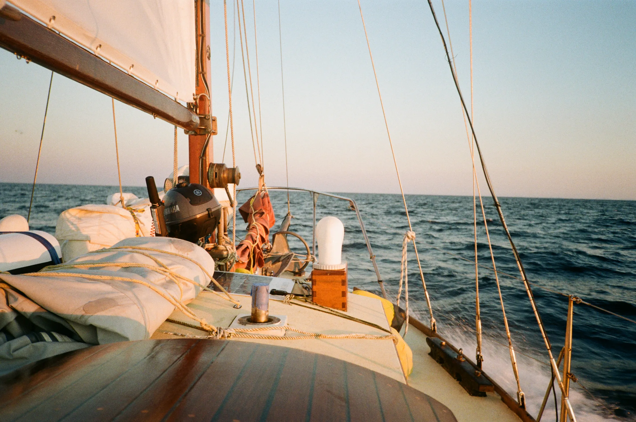
Sunset taking us home!
5.9 Leg 6: Sailing to Scotland
Written by Meg Loftus
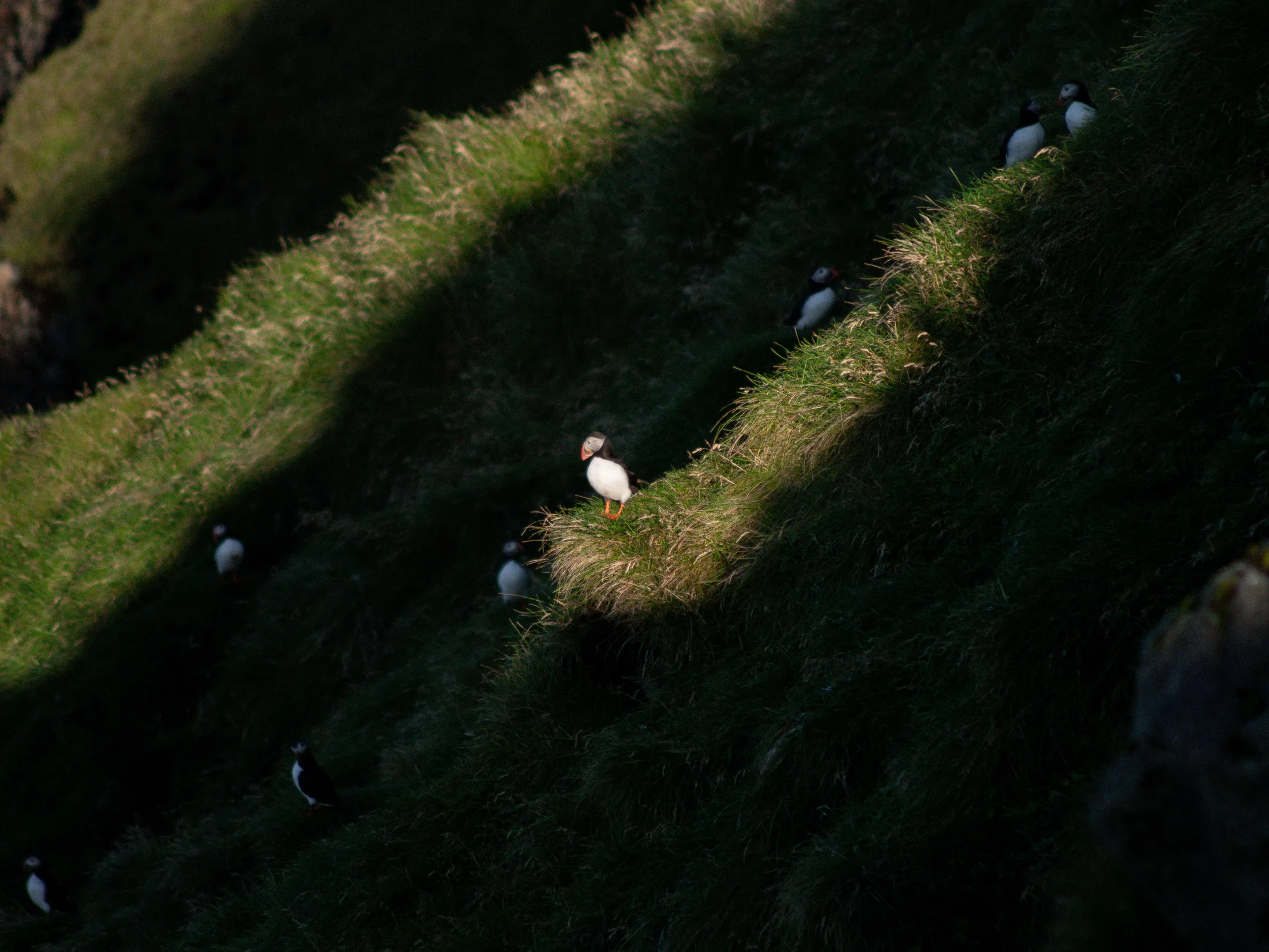
Puffins!
Dawn soon arrived as we motored out of Vestmannaeyjar harbour and into the rolling Atlantic swell. By the end of my watch the sea had gone from peachy orange to a blinding glassy blue, we motored on and off for the next 2 days. These were uneventful other than a lost house sparrow which Charlie and Will tried to rescue but sadly drowned. Lara’s absence was sorely missed as dishes piled up in the sink. Parts of the kitchen floor were mysteriously caving in and the sink had gently leaked slime all over the place. Upon reaching Ullapool I discovered that Lara had been sweeping the floor every day, which explained why it was now covered in hair and grains of couscous. On the second night there was a huge harvest moon, and shortly after a good northerly wind filled in. By morning we were doing 7 knots under full sail. Delighted to be moving so fast, and with Scotland tantalisingly close, we kept this up until mid-afternoon, clinging to the tiller as we rampaged along. Kingfisher achieved her record speed of 8.3 knots surfing down a wave. We reduced sail for the night and moved well but more modestly at 5 knts, passing the Butt of Lewis in the late morning and reaching Ullapool at midnight. Lara was waiting for us on the pontoon having missed us all terribly. To have reached our chosen destination, managed even a little bit of climbing and now to have returned safely home felt like the greatest gift.
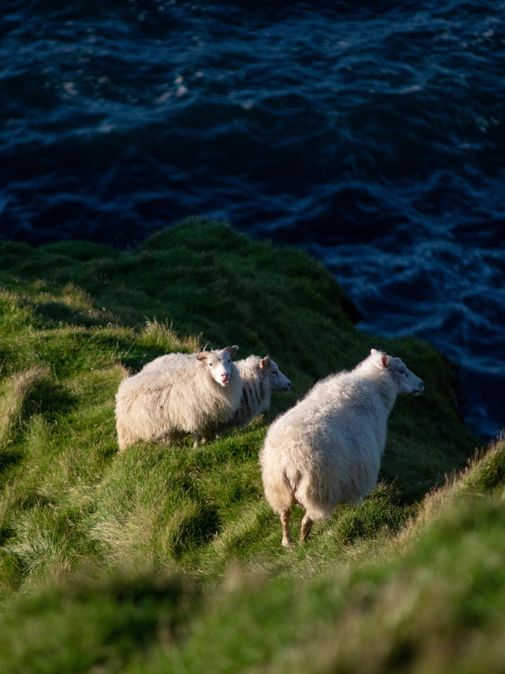
Icelandic Wildlife.
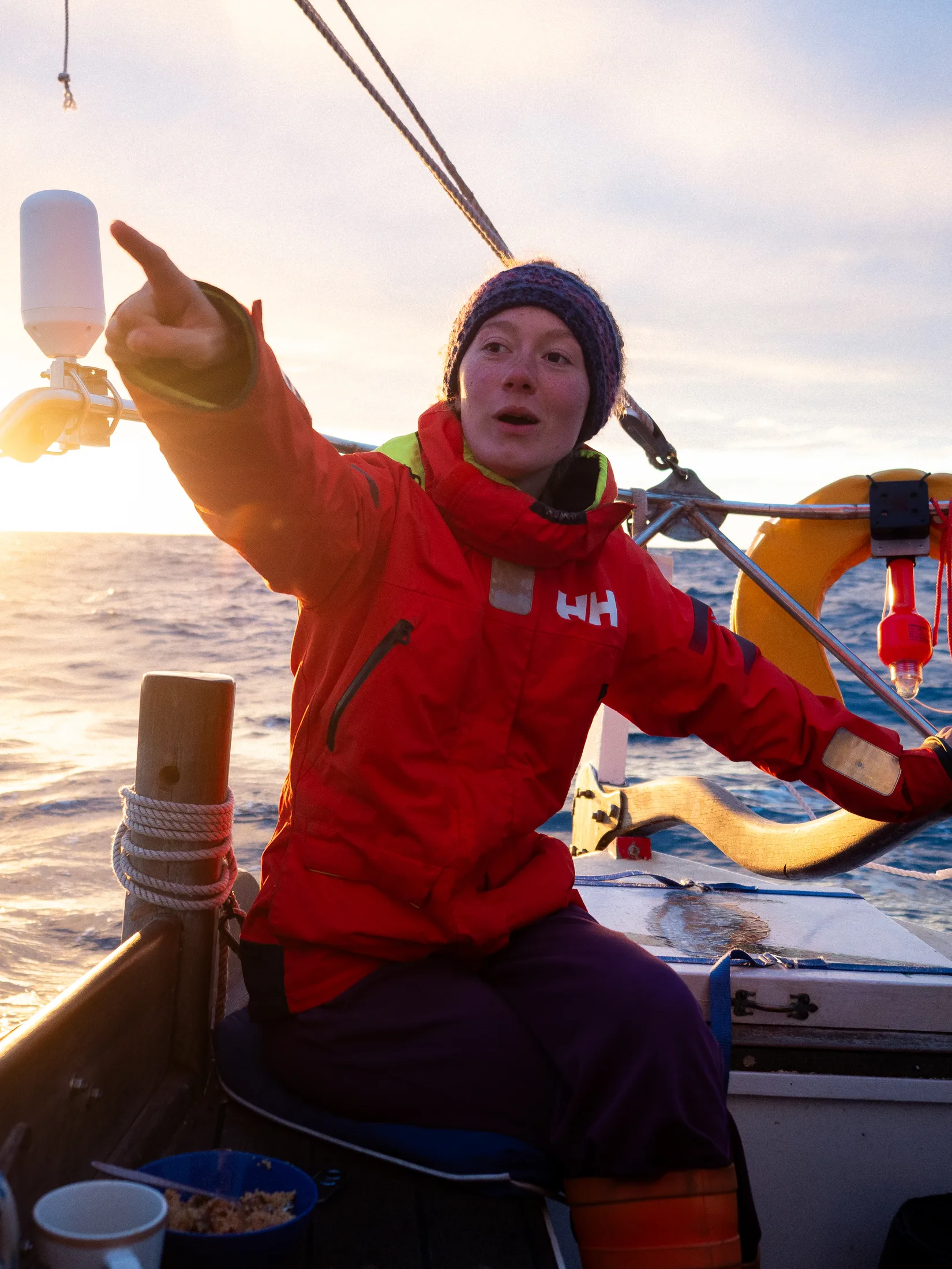
Looking for home.
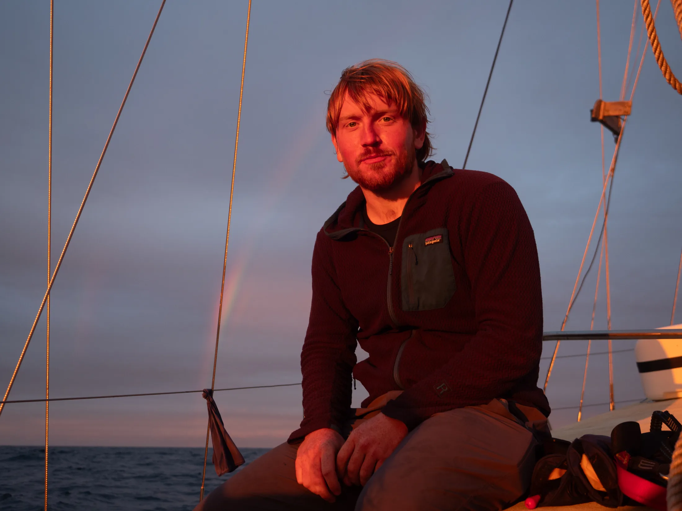
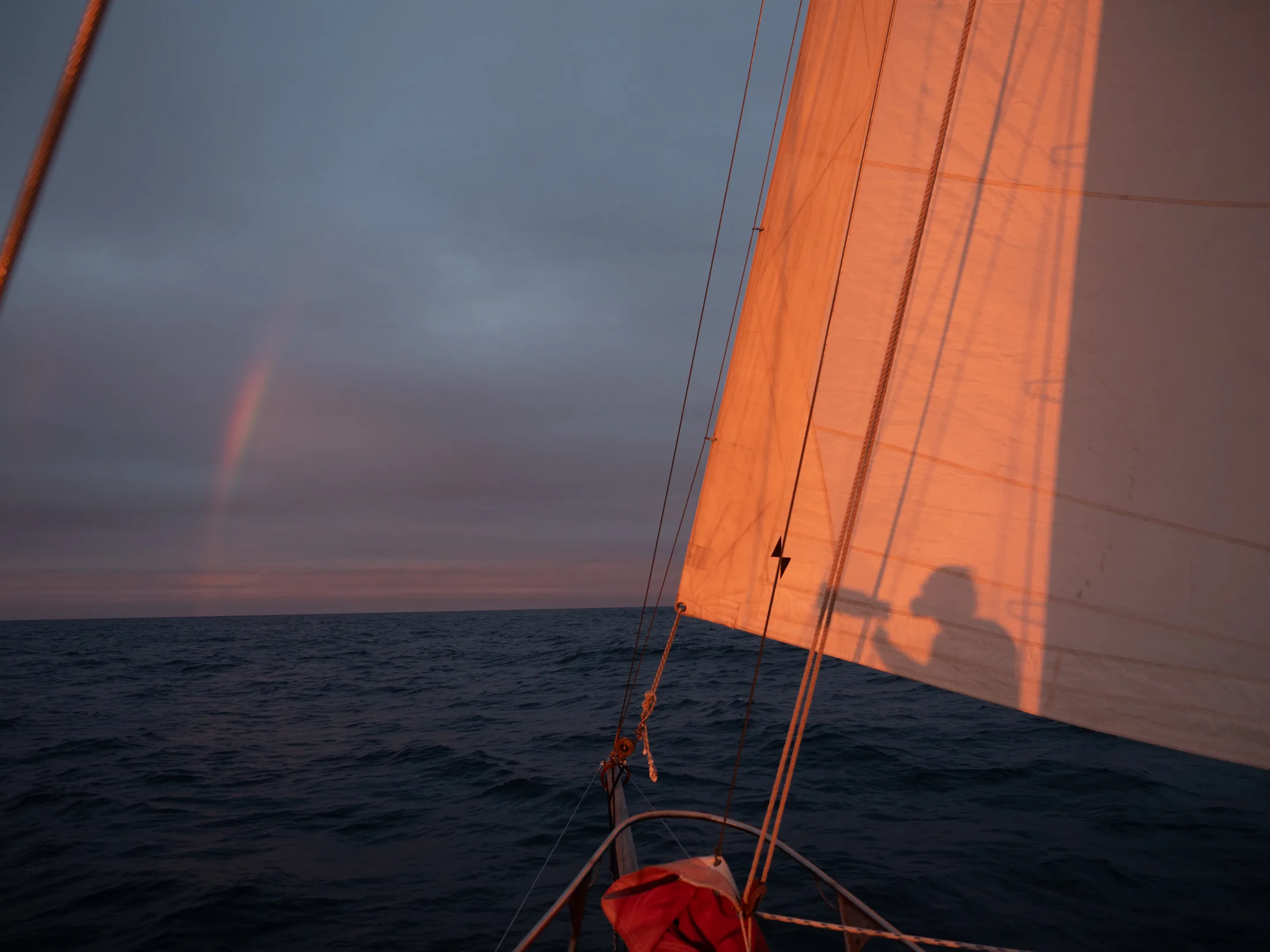
Before the strong winds came in.
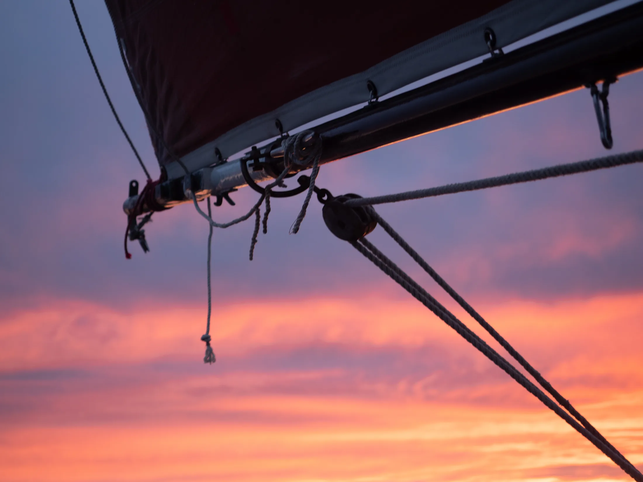
Sunset!
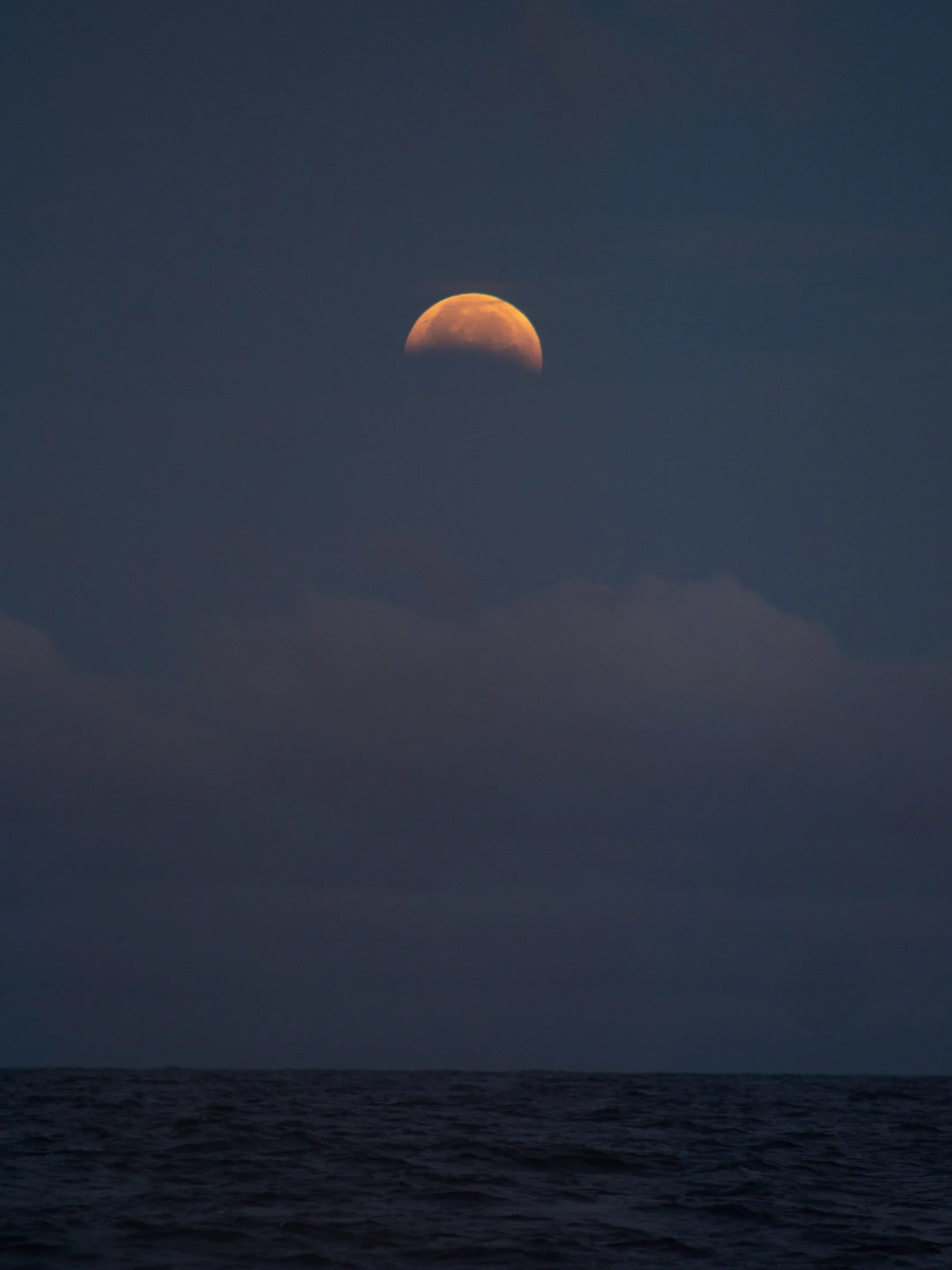
Harvest Moon!
P.S. The gearbox breathed its last on the brief trip from Ullapool pontoon to Kingfisher’s winter mooring - perhaps it knew its services were over!
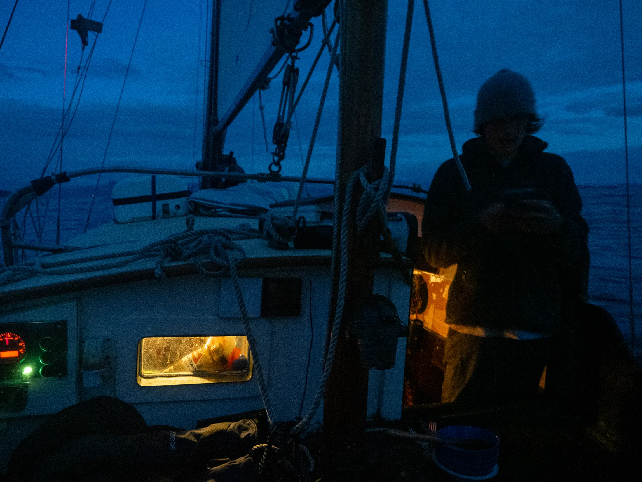
Coming Back into Ullapool late at night.
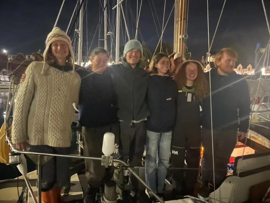
Home at last. Shattered!
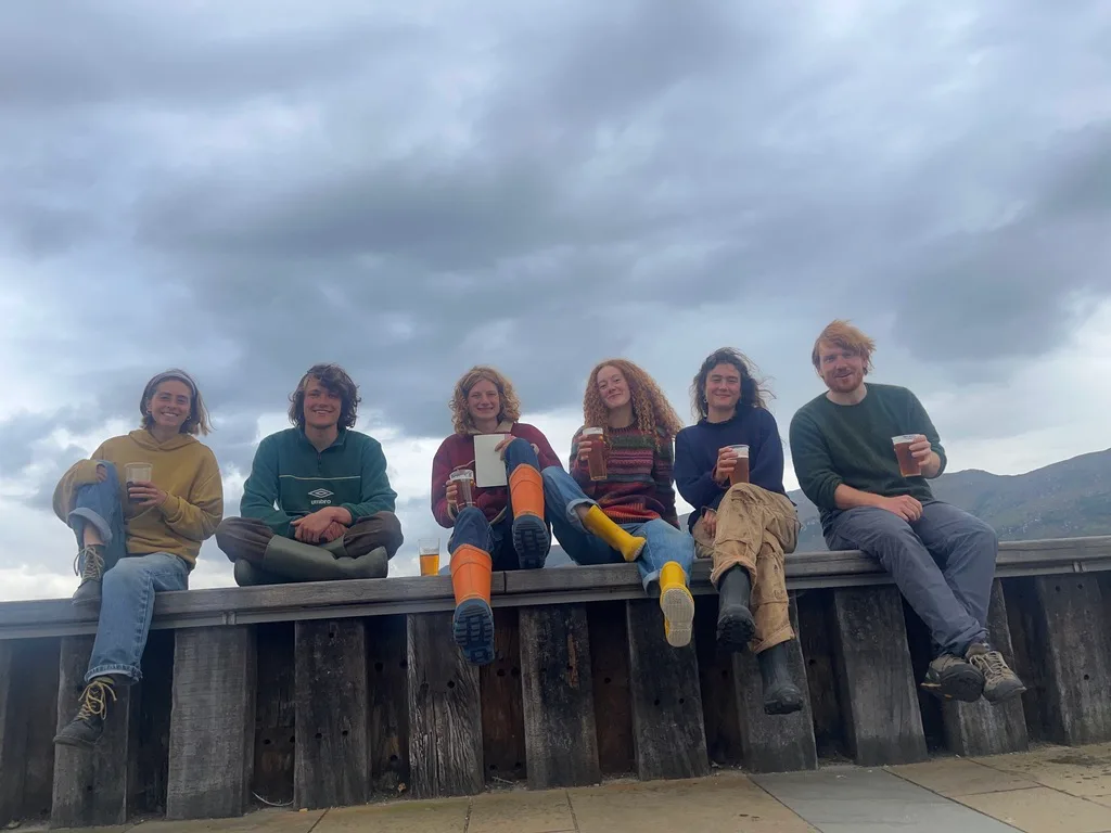
Celebrating!
Below is detailed topographic information about our climbing and approaches. The majority of routes are given British trad grades, due to being, for the most part, technical rock routes.
6. Climbing Topos, Maps and Descriptions
Written by Will Jones
6.1 Map of Graah Fjord
Approach and descent lines for an objective are coloured in accordance with the relative pinpoint. Green lines indicate scouting. WSAC refers to the routes put up by the women’s SAC expedition in 2025. It is worth noting there is one more climb of theirs to the south, 3 Cime, which is not shown here.
The Google Earth map is also available here.
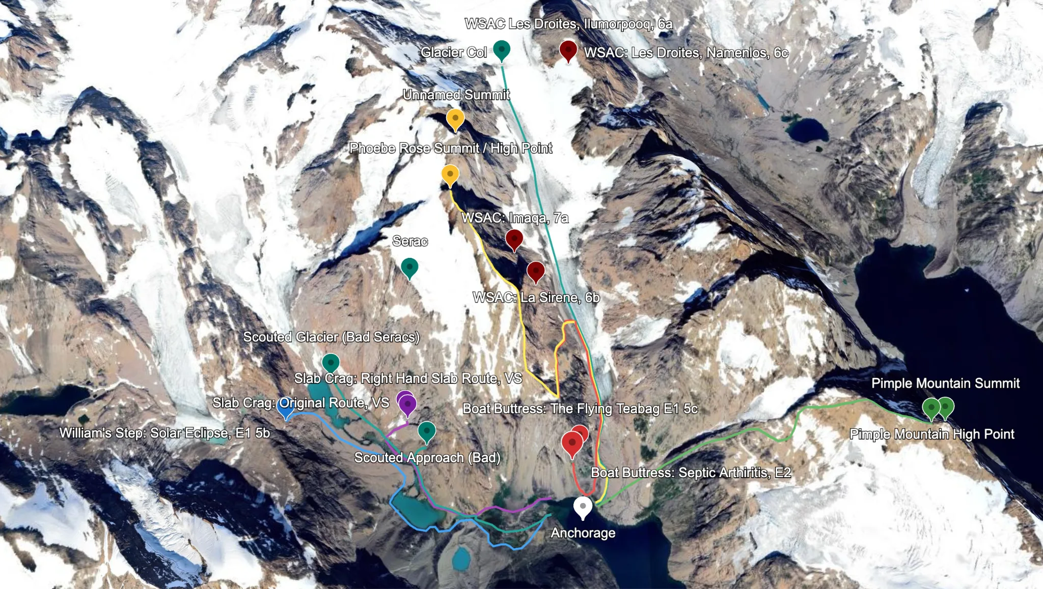
High Level Overview of Climbing in Graah Fjord.
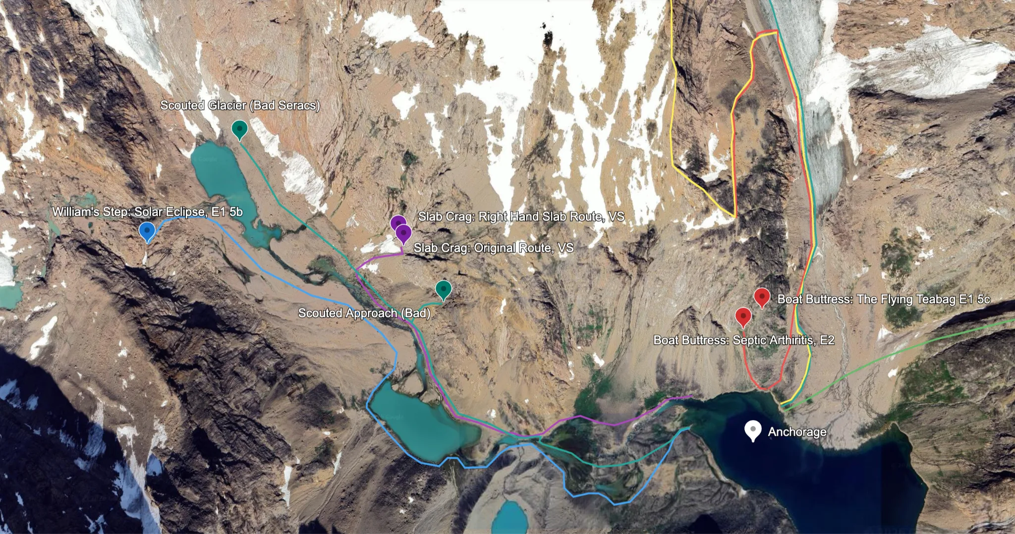
Higher Resolution Map of Our Routes.
6.2 Slab Crag
GPS Coordinates: 63°32’30.76”N 41°33’22.86”W
Slab Crag sits halfway up the southern valley, a ~400-500m wall of waterwashed slabs. Rock quality is good to hald height (250m), where it turns.
SW Facing
Approach: Head west from the anchorage, staying north of the river. The approach picks its way along the riverbank through sections of large boulders until the slabs become visible, characterised by crack / chimney systems on either side leading to a large roof system at half height (250m).
Descent: Fixed line of 3x50m 1x60m abseils from half-way. A walk-off descent may be possible by traversing around to the Boat Buttress descent but has not been scouted.
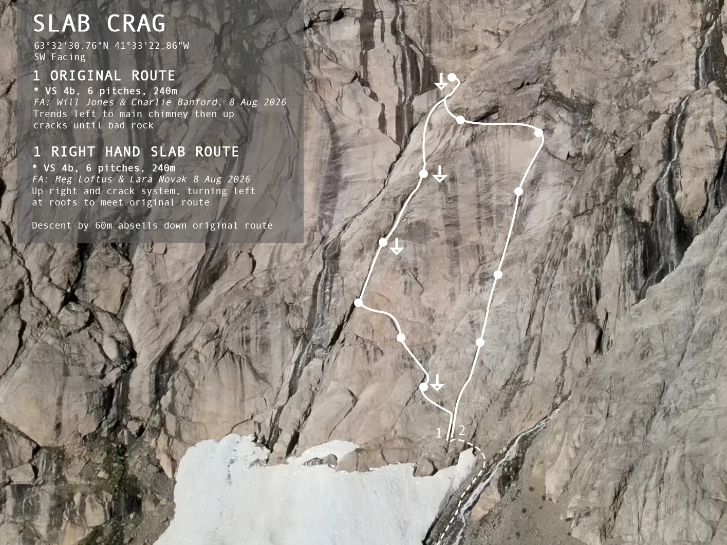
Topo for ”Slab Crag“.
6.2.1 Original Route, 240m * VS 4b
6 Pitches, 240m. FA: Will Jones & Charlie Banford. 8 Aug 2026.
Starting at the RH crack system, the route trends diagonally left TO join the LH crack system and finishes at a large gully above roofs. A direct start up the LH crack could be made if snow patch were smaller.
1. 40m Climb corner and cracks just left of RHS chimney crack system. Belay on dirty ledge on the left by rightwards facing flake.
2. 30m Straight up slabs from flake onto another large ledge with loose rock. Walk left to belay at base of 10m corner.
3. 35m Up corner and left to belay in LHS chimney crack system.
4. 50m Follow crack system to belay ledge edge on right.
5. 50m Continue up cracks to belay on grassy ledge at the base of blank slabs below overhangs.
6. 4b 40m Boldly up slabs to left edge of roofs. Into gully above roofs and immediately back left into larger gully to belay.
6.2.2 Right Hand Slab Route, 240m * VS 4b
6 Pitches, 240m. FA: Meg Loftus & Lara Novak 8 Aug 2026.
An enjoyable slab route beginning up a wide crack.
1. 40m HS Climb the wide, easy-angled crack.
2. 40m HS Continue up the crack.
3. 40m HS Continue up, staying left of a section of loose flakes before reentering the crack system to belay.
4. 40m HS Move up and stay in the left crack at the fork. Come over a lip and continue up the crack to belay under a large loose roof.
5. 40m VS Move boldly diagonally left across the blank slab to gain a long ledge. Traverse this to the left for 10m to place gear. Continue left to belay under a large block on the arete.
6. 30m VS Step out left around the corner and climb up the steeper wall to a large belay ledge below a loose ramp.
6.3 Boat Buttress
GPS Coordinates: 63°32’16.65”N 41°31’13.26”W
A granite buttress overlooking the anchorage at the head of the fjord with reasonable rock quality if a little vegetated.
E Facing
Approach: Walk directly up to the base from the anchorage. 15 mins.
Descent: Walk-off down scree slope on climber’s right to the glacier. Take care to stay high until the moraine meets the glacier proper.
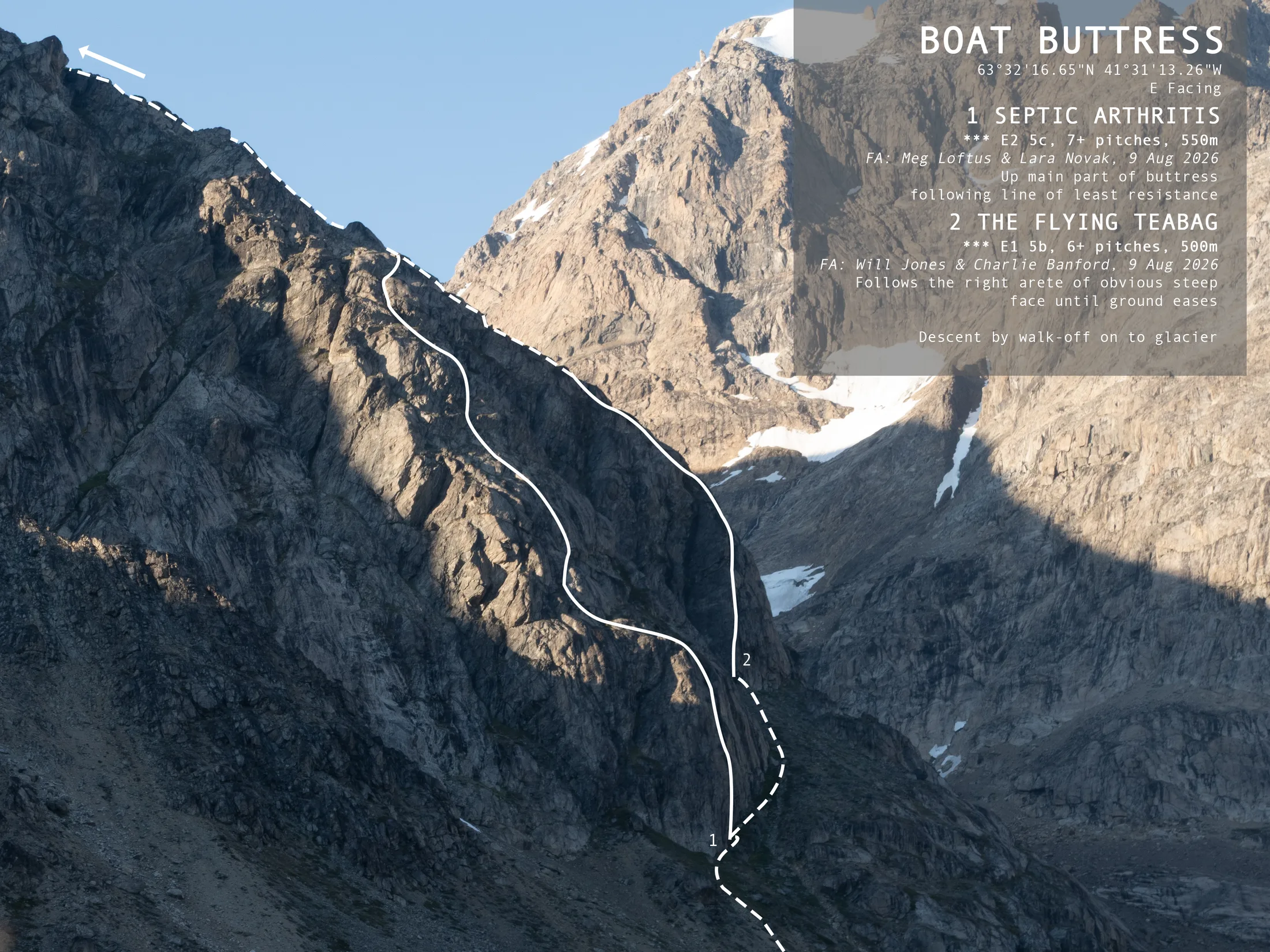
Topo for ”Boat Buttress“.
6.3.1 Septic Arthritis, 550m ** E2 5c.
550m. FA: M Loftus & L Novak. 9 Aug 2026.
A good route, with a mixture of pure climbing pitches and some scrambling over chossy ledges.
1. 50m E1 5b Start with a bold move off the ground, starting at the lowest point of the buttress face. The climbing then becomes less hard but bolder.
2. 30m HVS 4c Surmount a large block to the right. From here step left and up over crumbly rock to belay below a slabbier section.
3. 25m HVS 4c Delicate moves over the slab to a grassy topout onto a large ledge. Belay at the huge boulder in the centre of the ledge.
4. 30m VS 4c Leaving the boulder to your right, climb the right-leaning twin finger cracks on the wall behind.
5. 20m Traverse right across grass ledges to the base of a crack.
6. 25m VS 4c Move 3 meters up the crack before traversing left to another crack system. Follow this to the base of a dirty corner.
7. 25m E2 5b Balance on small sandy edges to dig out some cam placements before stepping right onto a blank bulge. Move upwards 2 meters and step back left onto easier ground. Care needed as it is mostly scree.
The next 5 pitches are a case of finding the best way to the top, with a mixture of scrambling/scree and sections of enjoyable climbing. After reaching another large ledge with a huge boulder, an easy scramble for another 300m takes you to the top of the buttress.
6.3.2 The Flying Teabag, 500m ** E1 5c
6+ Pitches, 500m. FA: W Jones & C Banford. 9 Aug 2026.
Start up the obvious large face on the RHS of the buttress.
1. 50m 5a Head diagonally rightwards to climb the LHS of the arête on generally good rock to a ledge on the right at 1/3 height.
2. 45m 5c Continue up the arête on more good rock and into cracks on the face. Up face (crux) to belay at large blocks at 2/3 height.
3. 60m Traverse rightwards past large chockstones onto broken ground. Continue diagonally rightwards up heathery ledges until the base of a chimney.
4. 50m Climb chimney onto more broken terrain, and on until the rock becomes solid again.
5 & 6. 100m Continue up easy but solid ground to large ledge systems.
Scramble up ledge systems for another 300m until a clear flattening at top of buttress.
6.4 Phoebe Rose Ridge, Facile
GPS Coordinates: 63°33’42.52”N 41°32’49.35”W
Altiutude : 5005 ft
FA: Will Jones, Charlie Banford, Meg Loftus & Lara Novak, 11 Aug 2026.
Walk up the moraine and onto the glacier until it is possible to cut back left on to the scree slope that hugs the west side of the glacier. Head up to a plateau looking out over fjord. Cut back again and scramble up the RH edge of the ridge. To the east is a sharp drop. After several hundered metres, the rock becomes looser and steeper. After the ridge flattens, follow the ridge line, passing several false summits to Phoebe-Rose Summit (cairn) which sits above a crevassed col to the north.
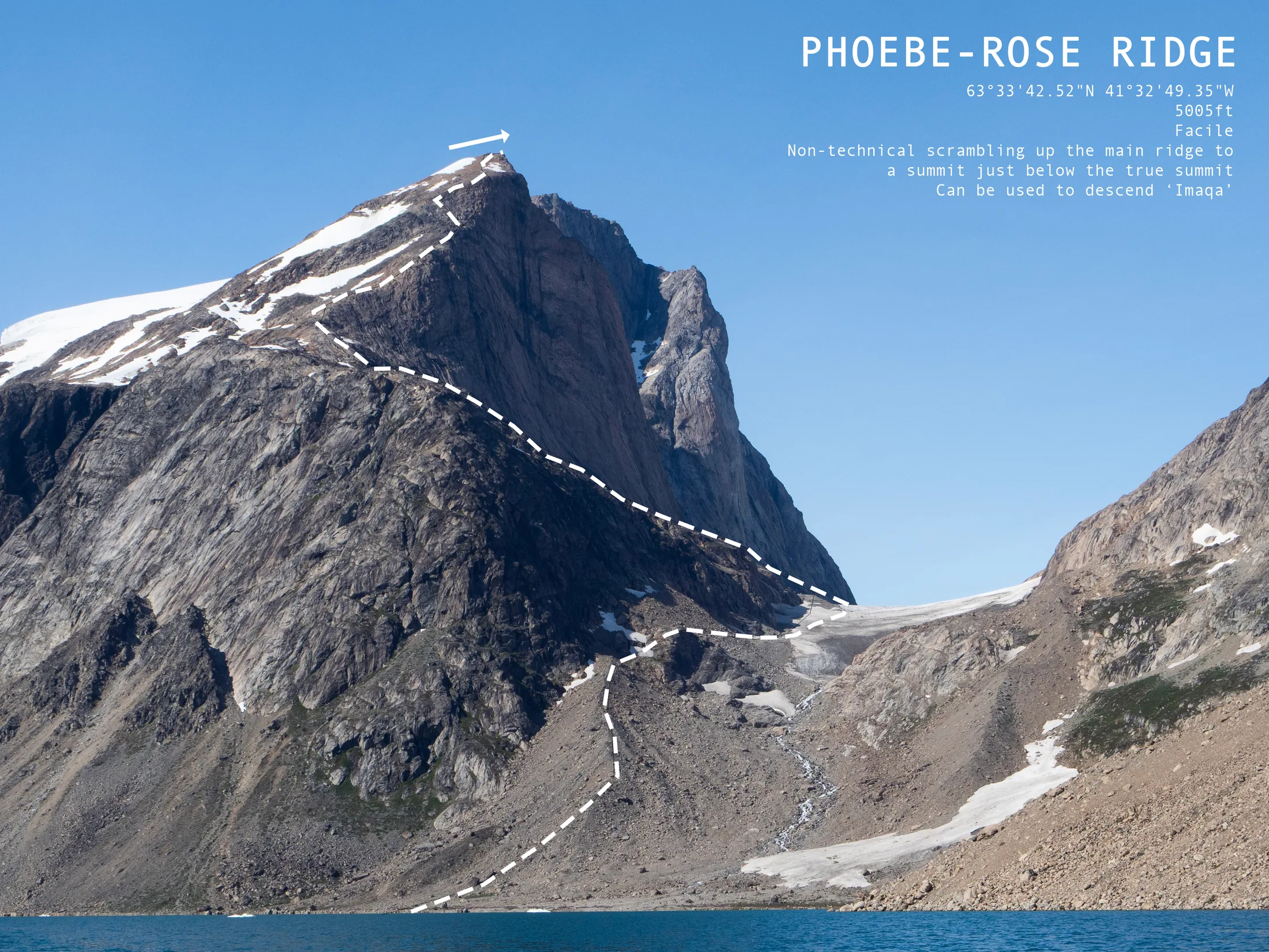
Topo for ’Phoebe-Rose Ridge’.
6.5 William’s Step
GPS Coordinates: 63°32’31.18”N 41°34’59.99”W
A~150m crag with a large waterfall on its right, at the head of the southern valley. Rock is generally excellent, and there is potential for many more good quality routes.
SE Facing
Approach: Head west from the anchorage, staying to the left of the river. Hop over occasional sections of large boulders to the waterfall at the head of the valley.
Descent: 1 x 60m 1x 20m abseil (or steep scramble) down the climber’s left side of the crag.
6.5.1 Solar Eclipse, 150m *** E1 5b
5 Pitches, 150m, Will Jones & Lara Novak, 12 Aug 2026
A good route with continually interesting pitches on solid, waterwashed rock. Scramble up to start at the base of an overhanging corner crack just left of the waterfall.
1. 30m 5b Climb the corner crack to a ledge with blocks.
2. 30m. 5a Continue up corner crack (on the left where rock is more solid) and diagonally left to belay on large pedestal at base of vertical wall.
3. 20m 5b Straight up cracks in steep wall to belay on ledge. Deceptively difficult.
4. 40m 5a Up flake and a little boldly up slab, trending leftwards. Continue up groove and finger crack for another 20m to belay on sloping ledge.
5. 30m 5a Mantle onto another ledge with some difficulty. Follow easy angled crack to short corner crack. Climb a water washed corner, with some more difficulty, to belay at top.
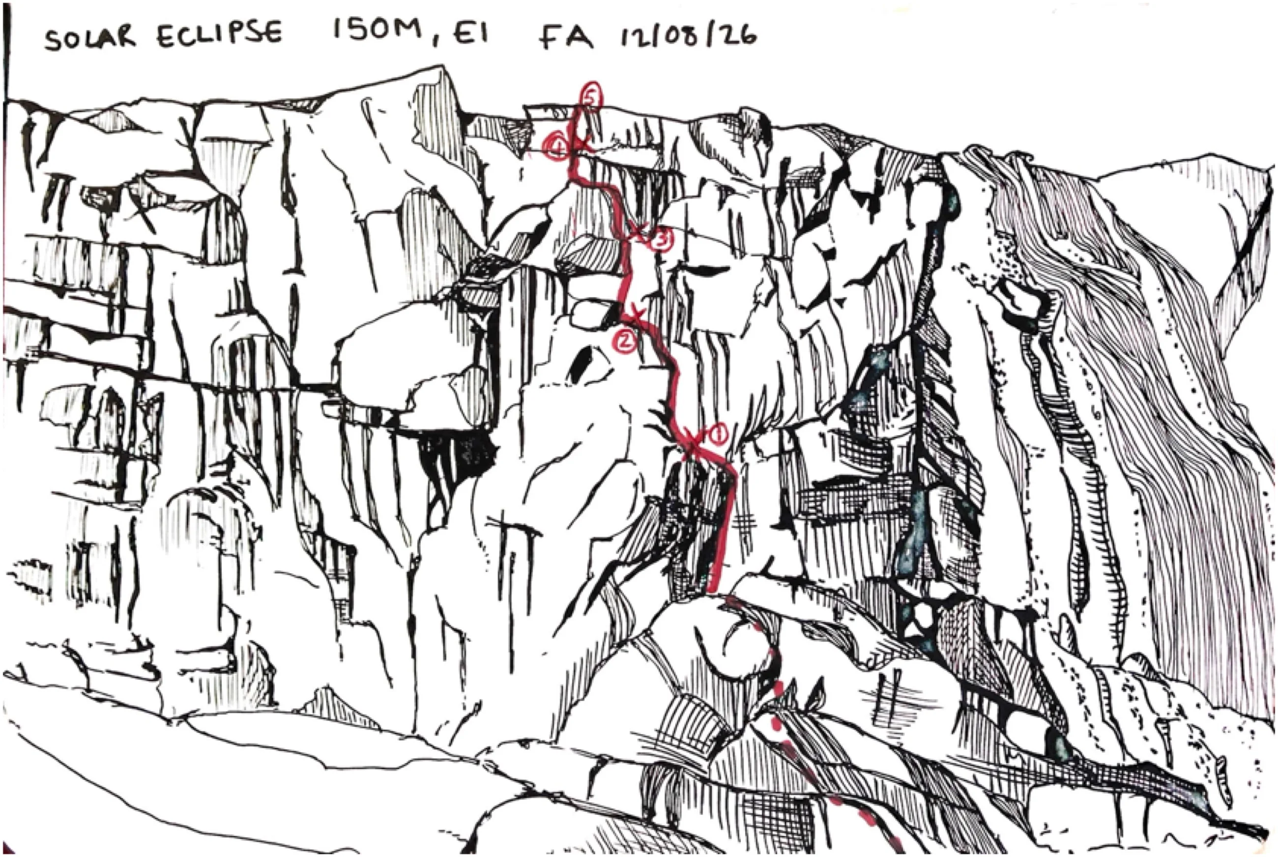
Hand-drawn Topo for ”Solar Eclipse“.
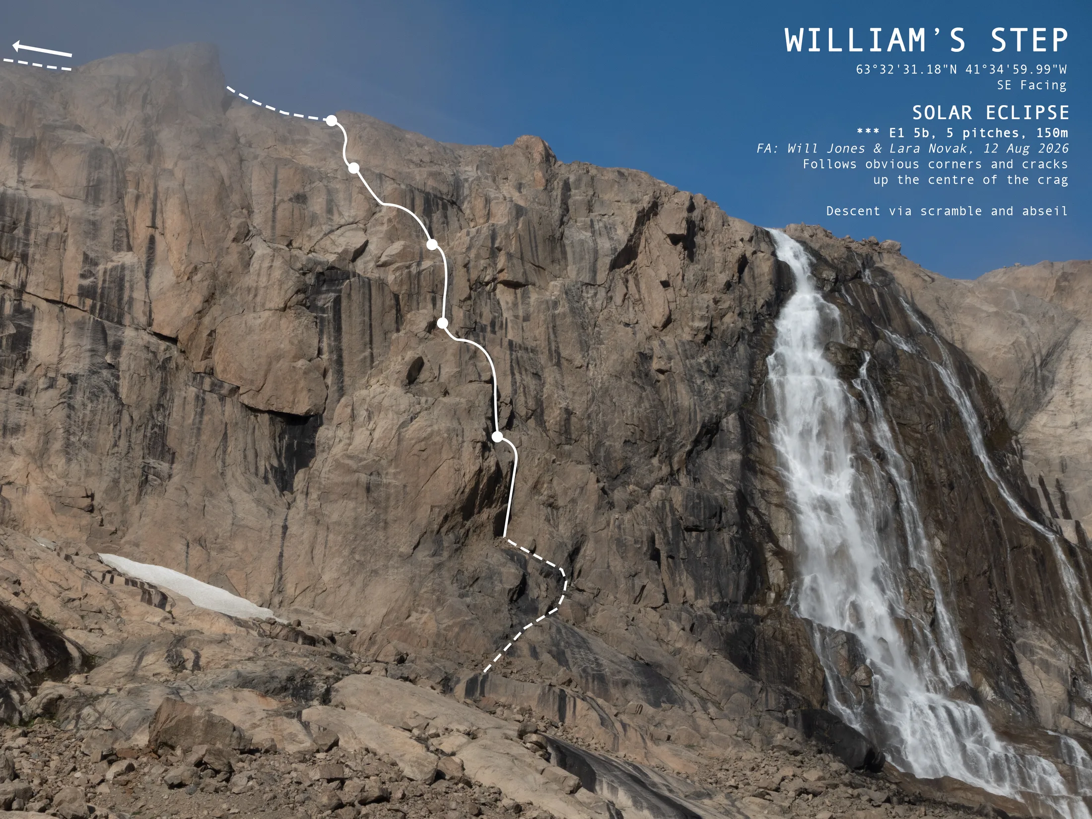
Topo for ”William’s Step“.
6.6 Pimple Mountain
GPS Coordinates: 63°32’17.24”N 41°26’56.41”W
12/08/26 Pimple Mountain, M Loftus & C Banford
Scramble up steep grassy ground to the R of narrow glacier. Some small cliffs. Gain shoulder and follow this to the W end of the ridge. Snow patches. Head E along ridge. Occasionally step down on S side to pass difficult steps.
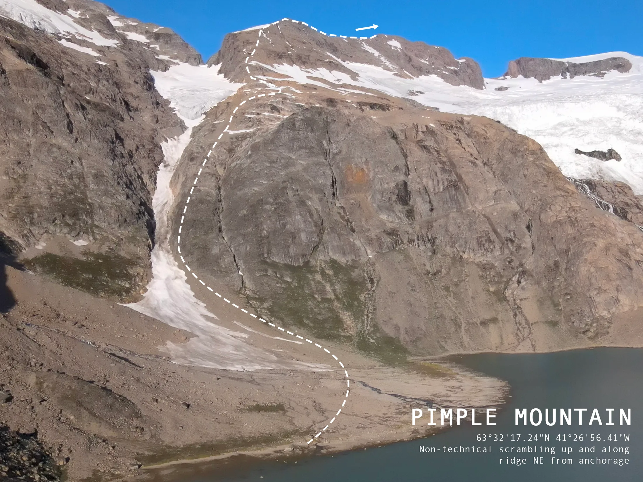
Topo for ”Pimple Mountain“.
6.7 Kulusuk – Honeymoon Crag
One of a few larger inland crags on Kulusuk, made of good quality gneiss. There is a large corner offwidth splitting the crag that has previously been climbed by a couple on their honeymoon, grade unknown.
GPS Coordinates: 65°32’31.61”N 37°11’12.76”W
Approach: Walk southeast from Kulusuk town, passing right of the drinking water river. Go over the old reindeer stalking wall and head towards the ocean, to the last of a series of broken crags with a body of water at the bottom.
Descent: Walk-off.
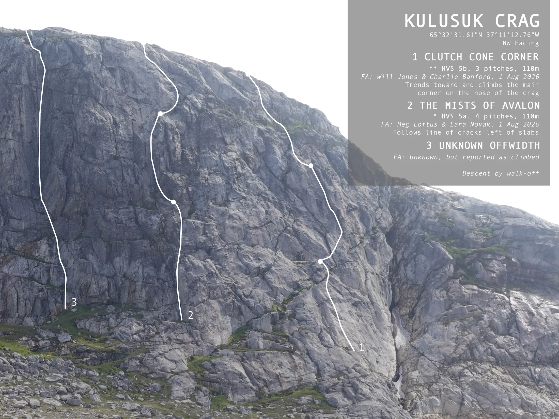
Topo for ”Kulusuk Crag“.
6.7.1 Clutch Cone Corner, 110m ** HVS 5b
3 Pitches, 110m, Will Jones & Charlie Banford, 1 Aug 2026
Start up the obvious nose of the crag, aiming for the slanting left-facing corner crack.
1. 55m 5a Up slabs to belay on ledge down and left of the corner.
2. 55m 5b Trend rightwards to the base of corner. Possible belay here. Climb superb corner on good jams, passing bulge at half height (crux). Belay at top of corner.
3. 45m Continue up broken ground and heather to top out.
6.7.2 The Mists of Avalon, 110m * HVS 5a.
4 Pitches, 110m, Megan Loftus & Lara Novak, 1 Aug 2026
An enjoyable route on solid rock, albeit a bit grassy in places.
-
40m VS 4c Start up the arete of a left-facing corner below a dark corner crack. Gear is good but spaced.
-
25m HVS 5a Trend leftwards to reach the bottom of the crack. Surmount this (burly) to belay on the ledge above.
-
30m VS 4b A bold step up the blank slab takes you to a ledge. Follow this right until a left-facing flake system. Move up this and step back left.
-
15m VS 4b Continue straight up to belay at the top of the cliff.
7. Medical Report
Written by Lara Novak
7.1 Insurance
As mentioned in Section 4.2, we initially had some difficulty in securing an insurance provider for our activities on land. As Graah Fjord is incredibly remote, having coverage for SAR (search and rescue) procedures was most important. Many SAR insurance providers that advertise worldwide coverage exclude a small selection of places, often including Greenland. We eventually signed on to the WTW Montagne insurance available through the FFCAM (Federation Francais des Clubs Alpins et de Montagne). To do this, we all signed up as members of the Club Alpin Francais Corse du Sud to become FFCAM licensed members. This comes with a personal and emergency insurance costing for those over 24 years old and for those younger. We each purchased the Worldwide extension for an additional pp, which is required if the activities to be covered are taking place outside of Europe/Morocco.
We purchased a ‘Medical Only’ single-trip policy from Topsail for the duration 22 July to 26 August, e.g. covering time on board between departure from Iceland for Greenland up to arriving back in Iceland on the way home. This cover is applicable to medical and repatriation emergencies whilst at sea. The total cost for one month was £750.33.
7.2 First Aid Training and Competency
Whilst several expedition members have done first aid courses over the years and have some basic knowledge of emergency first response, it was decided that for such a trip a more extensive training and knowledge base would be crucial. This is due not only to the highly remote nature of Graah Fjord in case of a severe trauma injury, but also due to the extended length of our trip in adverse and isolated conditions (six weeks on board, more often than not out of immediate reach of professional medical care and hospitalisation). This added a higher risk of serious illnesses/conditions arising, which is a very large area of knowledge not addressed in standard first aid courses.
For this reason, Lara attended a four-day advanced medicine Wilderness Medical Training (WMT) course in Kendal, run by Barry Roberts, from the 6th to the 9th of June. The course covers injury and illness, as well as:
-
Use of prescription only medicines (POMs).
-
Invasive training (wound stapling, intramuscular injections)
-
Advanced fractures
-
Advanced dislocations
It is designed for laypeople travelling in remote environments to build confidence in using advanced techniques when professional emergency help is unavailable. The certification also comes with a 2-year accreditation to purchase POMs, with the condition that these will only be administered by the trained person and in the case where professional help is not available (see Section 7.3).
7.3 First Aid Kit
An extensive first aid kit was taken to cover a range of potential problems. Below is the comprehensive spreadsheet detailing all items, with stock on board, relevant notes, where it was purchased, and the cost. All items labeled BP were obtained from Barbour Pharmacy in Ipswich. Those labeled BP POM are prescription only. Those labeled BP P are sold at the pharmacist’s discretion.
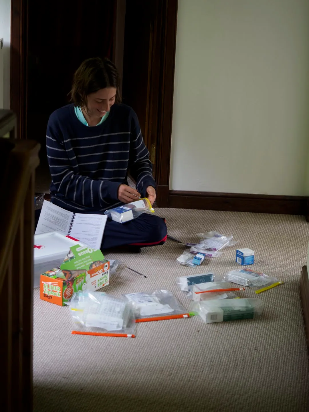
Sorting out first-aid.
| CATEGORY | TRADE NAME | STOCK | NOTES | WHERE TO BUY | PRICE (£) |
|---|---|---|---|---|---|
| CARDIOVASCULAR | |||||
| Adrenaline for injection 1ML 1:1000 10’S | 10 | for anaphylactic shock/heart failure | BP POM | 18.65 | |
| ANALGESICS | |||||
| Paracetemol | 100 | amazon | 8.5 | ||
| Ibuprofen | 80 | amazon | 9 | ||
| Co-codamol 30MG/500MG TABS 100’S | 1 | Kodeine + paracetemol | BP POM | 11.59 | |
| Tramadol 50MG CAPS 10’S (POM & schedule 3 CD*) | 1 | need to get doctor note | BP POM | 6.57 | |
| Penthrox | 1 | inhaler, short-lived, for painful operations | BP POM | 93.6 | |
| ANTIBIOTICS | |||||
| non-penicillin | Metronidazole 400MG tab 21’S | 1 | dental abscesses, gut bacteria | BP POM | 10.77 |
| non-penicillin | Azithromycin 500mg tab 3’S | 1 | general | BP POM | 8.5 |
| penicillin | Co-amoxiclav 500/125MG tab 21’S | 1 | general | BP POM | 17 |
| EYES/EARS | |||||
| Chloramphenicol ointment 1% 4G | 1 | antibiotic, apply under lower eyelid 3 times for 4 days | BP P | 8.99 | |
| Tetracaine 0.5% pack of 5 minims | 1 | local anaesthetic, eyedrop. Two drops, then cover eye | BP POM | 5.71 | |
| ANTI-NAUSEA | |||||
| Stemetil injection 12.5MG | 5 | Anti-vomiting | BP POM | 5.5 | |
| TOPICAL CREAMS | |||||
| Bactroban 15G | 1 | Antibiotic cream. wound infections, burns | BP POM | 18.68 | |
| Orajel Extra Strength 5.3G | 1 | For toothache | BP P | 6.49 | |
| Lidocaine 4% cream 4G | 1 | Pain, itchiness, inflammation | BP P | 3.99 | |
| Talc powder | 1 | for trench foot/fungal foot | amazon | 4 | |
| terbinafine cream 7.5G | 1 | for foot fungus | BP | 10.64 | |
| Eumovate steroid cream 15G (Clobetasone) | 1 | anti-allergy cream (rashes, bites) | BP | 12.35 | |
| DRESSINGS | |||||
| Antispetic wipes | pack | cuts and grazes | amazon | 3.99 | |
| Adhesive dressing 7.2CM X 5CM | 3 | BP | 1 | ||
| Adhesive dressing 10CM X 8CM | 3 | BP | 2 | ||
| Non-adherent dressing 10CM X 10CM | 5 | BP | 6 | ||
| Non-adherent dressing 5CM X 5CM | 5 | BP | 7.2 | ||
| Vaseline jelonet dressing | 1 | burns, cuts with ooze | BP | 3.5 | |
| Steri-strips 16 PCS | 2 | BP | 7.98 | ||
| Blister plasters | 21 | amazon | 8.99 | ||
| Sterile wound dressing no.15 | 1 | BP | 2.28 | ||
| Crepe bandage 7.5CM single | 2 | BP | 4.04 | ||
| Gauze roll | 6 | BP | 12 | ||
| Emergency pressure 6” dressing single | 2 | amazon | 7.95 | ||
| zinc oxide medical tape | 1 | BP | 3.3 | ||
| TOOLS/EQUIPMENT | |||||
| sharps pack | 1 | for draining pus, popping blisters, adrenalin/stemetil injections | BP P | 10.2 | |
| surgical gloves | pack (100) | amazon | 4.77 | ||
| tourniquette | 1 | amazon | 5.99 | ||
| clothes scissors | 1 | amazon | 7.29 | ||
| Tweezers | 1 | amazon | 4.99 | ||
| thermometer (digital) | 1 | BP | 6.99 | ||
| safety pins | 10 | amazon | 2.99 | ||
| super glue | 2 | for securing steristrips | amazon | 3.95 | |
| sam splint | 1 | amazon | 13 | ||
| stapler and remover | 1 | amazon | 12.99 | ||
| OTHER | |||||
| rehydration sachets | 10 | amazon | 7.32 | ||
| first aid box | 2 | amazon | 11.57 | ||
| deet repellent | 2 | amazon | 17.9 | ||
| TOTAL | 440.71 |
7.4 First Aid Kit Usage
Fortunately most of the first aid kit was unneeded, with no serious trauma injuries and no serious illness (other than seasickness). Over-the-counter painkillers (paracetamol and ibuprofen) were used for headaches and cramps throughout the voyage. Rehydration sachets were used during bouts of seasickness. Lara used the broad-spectrum antibiotic Co-amoxiclav on the journey from Kulusuk to Vestmannaeyjar when the ring and pinky finger on her right hand became swollen and hot; based on a past experience, this was thought to be an infection. Upon arriving in Vestmannaeyjar Lara went to the hospital and was treated with a stronger dose of a more specific antibiotic.
8. Climbing, Bivying & Sailing Expedition Kit
Written by Will Jones
8.1 Climbing Kit
Our decision-making for what climbing kit to take was based on the idea of doing alpine rock-routes, possibly from a glacier, with no fixed lines. We did not take big-wall kit, heavy amounts of aid gear, or mixed climbing kit.
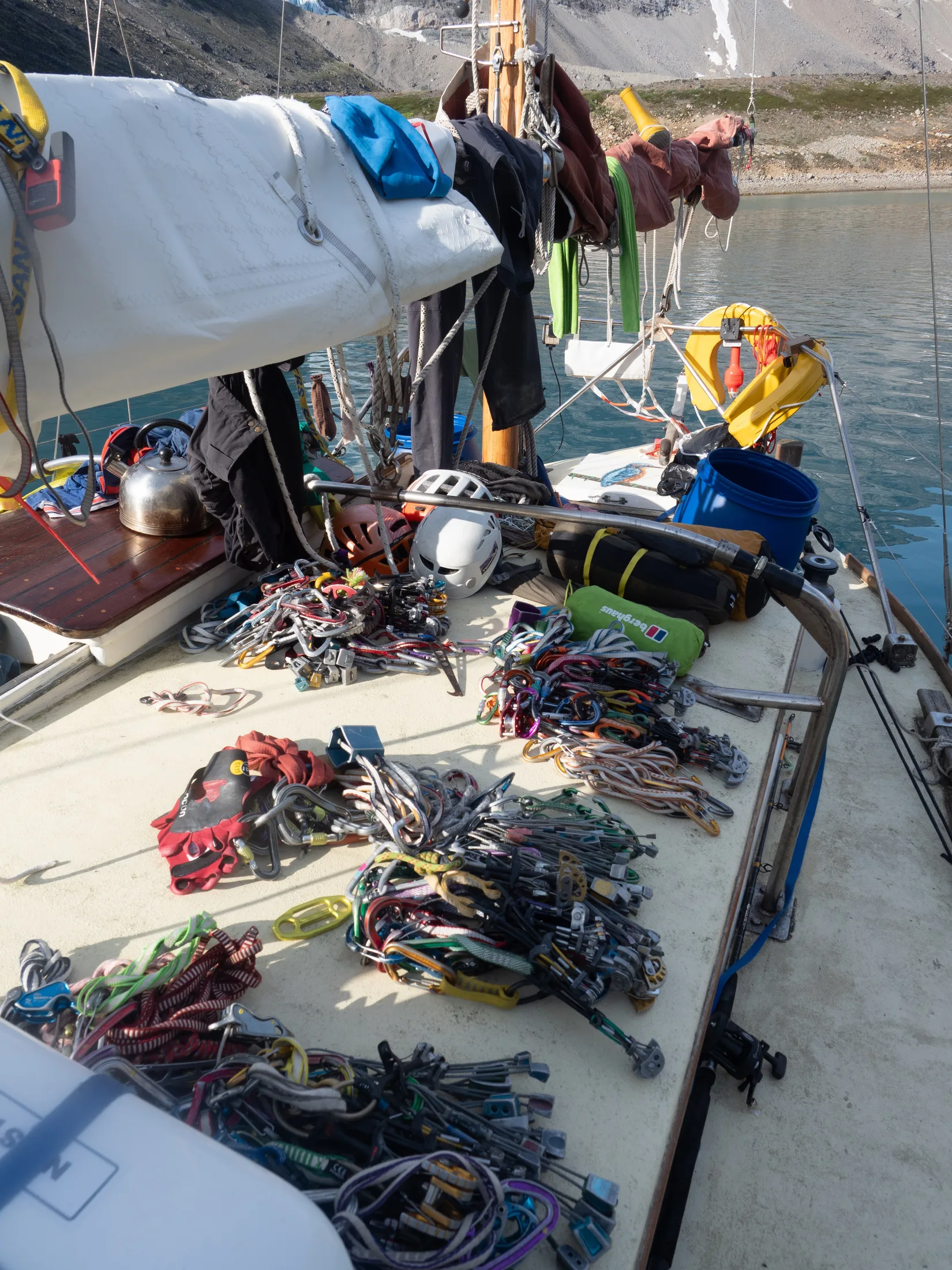
There is not much space on Kingfisher for getting gear ready.
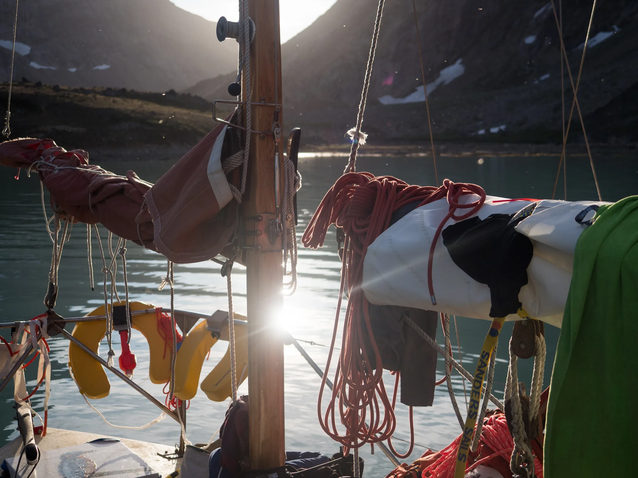
Drying out ropes.
For climbing, we had:
-
Personal kit: belay plates, slings, carabiners, helmet, harness, chalk, climbing shoes, approach shoes, boots, crampons, ice axe, ~40L climbing bags etc.
-
Rescue kit: ice screws, progress capture devices.
-
6 x 60m half ropes, 2 x 50m half ropes.
-
2 x double rack of nuts (climbing).
-
2 x single rack of nuts (bailing).
-
4 x single rack of cams, 1 #4 & 1 #5, and a few microcams.
-
100m 6mm cord (bailing).
-
collection of pitons (angles, lost arrows, knife blades, peckers).
-
4 x lightweight etriers (adjustable).
-
2 x aid hammers.
-
spare slings and carabiners.
-
4 x survival bags.
-
2 x two-person bothy bags.
The rationale behind all of this kit was redundancy for any lost gear, bailing gear, or stuck ropes. We used 25m of tat, and left behind a few pitons and 6-7 nuts for bail anchors.
We did not use the aid gear, which we had brought in the event we became stuck on a blank section where knifelblades/peckers would not suffice.
For emergencies we brought, but did not use:
-
20 x 10mm Petzl steel expansion bolts and hangars.
-
4 x SDS 10mm drill bits (carbide tip).
-
2 x Rocpec hand drills.
This is more bolts than really necessary, but they come cheaper in packs. We imagined that we would only ever need to place one or two. Cost was priority over longevity so we chose steel over stainless. When climbing we only took a few bolts and a couple of hangars between each party as our ‘get out of jail free’ pack.
The majority of our climbing and camping kit (except ice axes, boots and helmets) fit into 2 60L barrels and were stowed in the forepeak whilst at sea. Ropes fit in one large dry bag.
8.2 Clothing
The sailing clothing we had was:
-
1 x extra-large set of oil skins.
-
1 x medium set of oil skins.
-
1 x smaller sets of oil skins.
-
2 x large sets of Sail Racing goretex.
-
2 x small sets of Sail Racing goretex.
-
2 x fladen suits.
-
1 x large set of dunlop steel-toed wellies.
-
1 x medium set of dunlop steel-toed wellies.
-
1 x large set of regular wellies.
-
1 x small set of regular wellies
-
1 x medium insulated sailing wellies.
-
4 x drysuits.
-
Personal underclothing (base layers, woolen jumpers, synthetic jackets etc).
-
6 x self-inflating life jackets.
The oilskins were used interchangeably by whoever was on watch. It would have been better to have 6 dry suits in case of emergency.
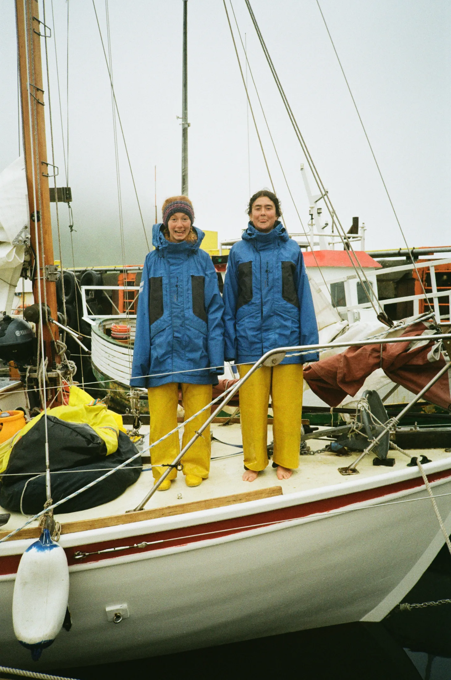
Gabi and Bella wearing racing blues over the oilskin yellows.
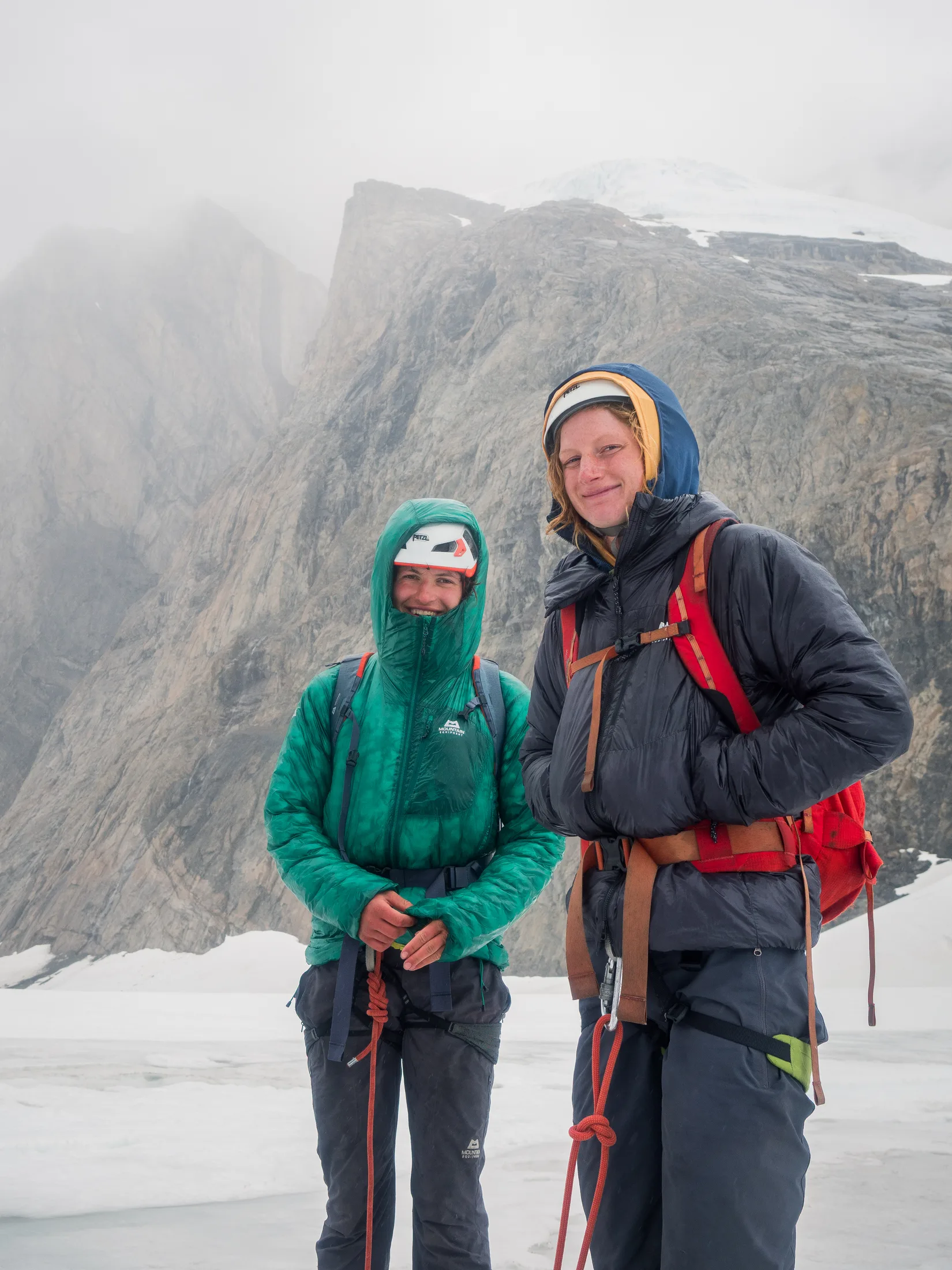
Thanks to Mountain Equipment we had many technical layers for the climbing section.
For the climbing we had the usual technical climbing clothing thanks to Mountain Equipment - base layers, fleeces, midlayers and a belay jacket each.
8.3 Grab Barrels
In case of emergency, we had two grab barrels on board the boat. These each contained:
-
Flares
-
Emergency food
-
Emergency water
One grab bag contained one of the Garmin InReaches.
8.4 Shore Barrels
Two emergency shore barrels were put on shore every time we landed in case of becoming stranded overnight.
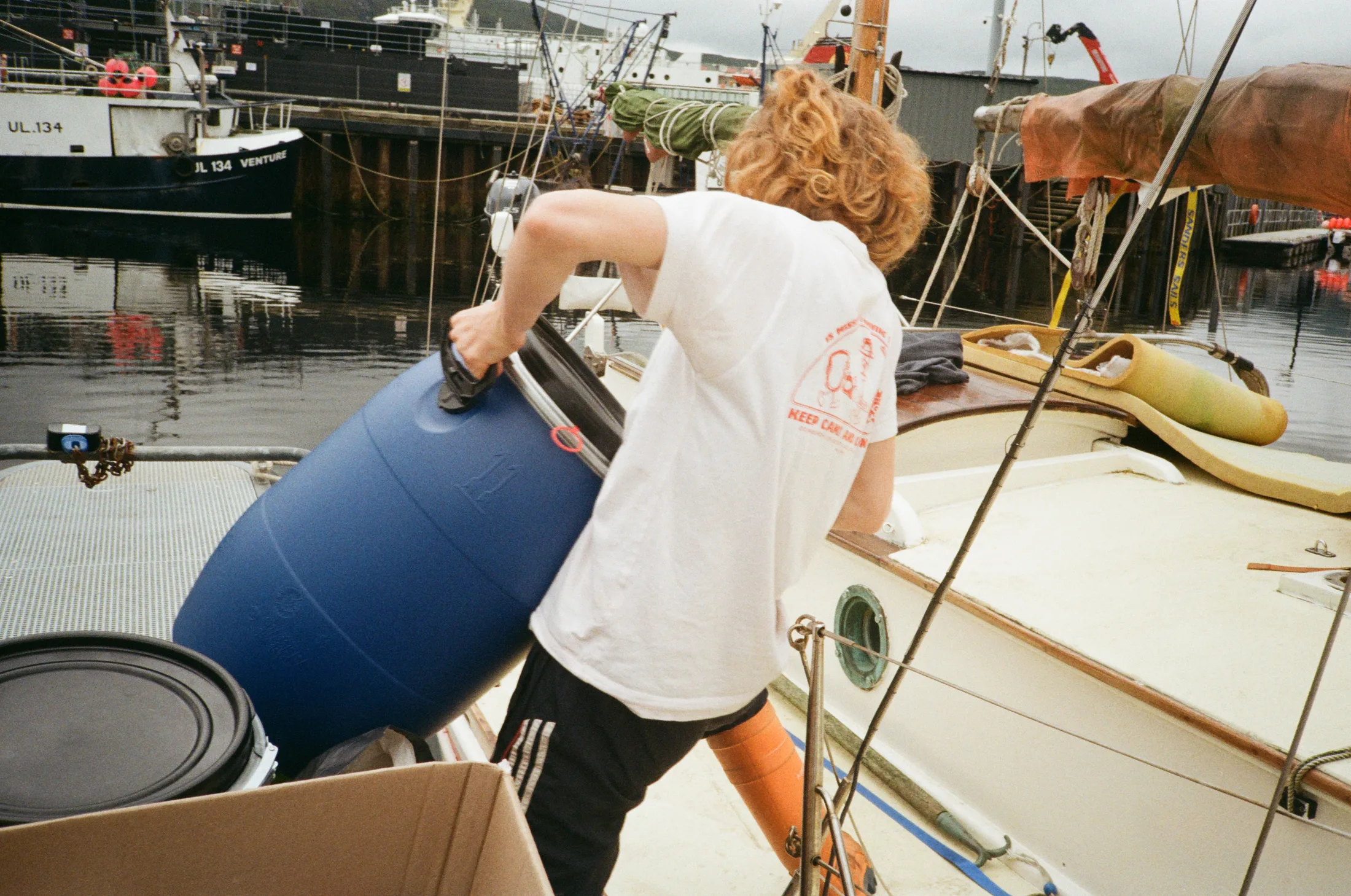
Our shore barrels contained climbing gear during the passages to protect it from salt water and diesel or oil.
Shore barrel 1
-
Subset first aid kit (trauma bandages, painkillers, wound dressings).
-
Emergency food rations.
-
Camping stove and gas.
-
Flares.
-
Duct tape.
Shore barrel 2
-
4 x sleeping bags.
-
2 2-man tents.
-
4 x roll mats.
-
4 x bivvy bags.
9. Food and Provisioning
Written by Lara Novak
Provisioning for this expedition had several aspects of interest. Firstly, the fact that restocking after departure should be kept to a minimum. We wanted to avoid restocking in Iceland where groceries are notoriously expensive, and in Kulusuk fresh food is delivered only once a week and it would be poor form to buy up all the fresh produce.
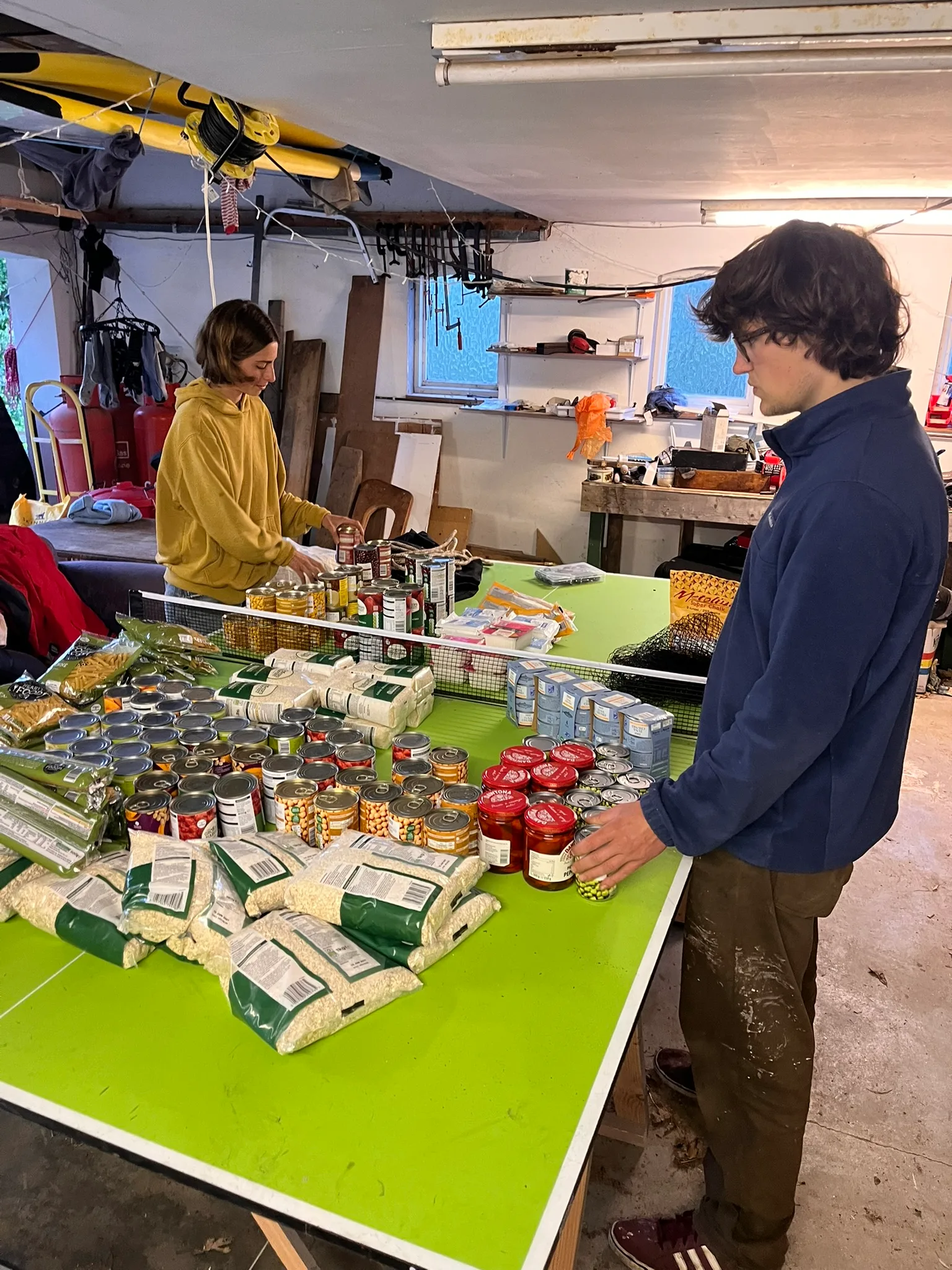
First batch of food prep.
We therefore needed to stock enough food for 6 weeks, for 6 people. We have heard of past trips where provisioning was not adequate; tensions tend to run high and tempers become short. Being stuck and hungry in a single room with 6 people could lead to mutiny if we weren’t careful…
To ensure enough food was brought, Lara created an excel of ‘example meals’ with individual quantities of each component, to then be multiplied by the number of crew and amount of times the meal would be eaten. This is potentially overkill, however it did reveal some astounding numbers that would probably have been vastly underestimated if going off of a ‘gut feel’.
It should be noted that space was less of a problem for us than on other climbing expeditions; having a boat allowed us to take many not necessarily space-efficient ingredients.
Another consideration was gas. Some simple maths showed that we would want at least 10kg of gas between leaving and returning to Iceland (approx. 4 weeks). We therefore took 1 6kg Calor propane gas bottle, 1 3.9kg Calor propane gas bottle, and 1 5kg Icelandic bottle that we would be able to exchange in Iceland for the final leg if necessary (which it was). This amount of gas was calculated to include copious tea drinking whilst on watch and to facilitate the creation of elaborate, gas-intensive meals.
Some observations:
-
Milk powder: We found full-fat milk powder to be incredibly useful, and used all 4kg.
-
Egg powder: Its sometimes questionable smell and consistency were offputting to several crew members.
-
For all perishables, it is best to buy in smaller units (e.g. 200g blocks of cheese instead of 800g, small jars of pesto) to minimise waste in the event of not eating it fast enough.
Below is a list of the totals. Items with a (U) indicate that the total is given in units purchased rather than a weight in kg. Not listed are fresh fruit and shorter-lasting vegetables, which were bought in Scotland and topped up in Iceland in accordance with how much of them we could fit on board.
| ITEM | KG/UNIT |
|---|---|
| WRAPS (U) | 262 |
| OATS | 22 |
| RICE | 15.2 |
| PASTA | 32.523 |
| NOODLE | 2.52 |
| LENTILS | 4.8 |
| COUSCOUS | 10.6 |
| MARMITE | 0.75 |
| PEANUT BUTTER | 1 |
| JAM | 1 |
| HONEY | 0.75 |
| CHOCO SPREAD | 1 |
| MAYO | 0.9 |
| KETCHUP | 0.6 |
| MUSTARD | 0.6 |
| PESTO | 5.28 |
| SUNDRIED TOMATO | 3.192 |
| OLIVES | 2.851 |
| CAPERS | 0.6 |
| TABASCO (U) | 1 |
| SEED MIX | 4.4 |
| RAISIN | 7.9 |
| CASHEW | 1.16 |
| BAKED BEANS | 5.74 |
| BUTTER BEANS | 8 |
| KIDNEY BEANS | 5.353 |
| BLACK BEANS | 5.353 |
| CHICKPEA | 7.1 |
| SWEETCORN | 6.5 |
| PEAS | 12.355 |
| SARDINES (U) | 16 |
| TIN TUNA | 5.8 |
| TIN TOMATO | 46.67 |
| COCONUT MILK | 12.66 |
| TINNED FRUIT | 8 |
| JAR PEPPERS (U) | 6 |
| PARMESAN | 2.8 |
| FETA | 4 |
| CHEDDAR | 7 |
| BUTTER | 3 |
| POWDER MILK | 4 |
| CONDENSED MILK (U) | 1.4 |
| OLIVE OIL | 2 |
| SUNFLOWER OIL | 2 |
| SOY SAUCE | 0.5 |
| SESAME OIL | 0.06 |
| ONION | 22.486 |
| CARROT | 6.4 |
| CABBAGE | 8 |
| GARLIC (U) | 10 |
| GINGER | 0.1 |
| POTATO | 7 |
| EGG POWDER | 1.32 |
| CHORIZO | 3.656 |
| TOFU | 3.99 |
| BOURBONS (U) | 5 |
| CUSTARD CREAMS (U) | 5 |
| FRUIT SHORTCAKE (U) | 5 |
| GINGERNUT (U) | 5 |
| CHOC DIGESTIVE (U) | 8 |
| DARK CHOC CHIP | 8 |
| CHOC CHIP (U) | 14 |
| DARG CHOC GINGER (U) | 1 |
| FIG ROLLS (U) | 5 |
| SHORTBREAD (U) | 7 |
| PEANUTS | |
| FRUIT NUT MIX | 17 |
| CHOCOLATE | 5 |
| ENERGY BARS (U) | 40 |
| OAT CAKES (U) | 8 |
| RYVITA (U) | 8 |
| POPCORN | 2 |
| SUGAR | 2 |
| BAKING POWDER | 0.15 |
| FLOUR | 3 |
| CINNAMON | 0.3 |
| MIXED HERB | 0.3 |
10. Communication and Navigation
Written by Will Jones
Although some of the team may idolise the likes of H.W.Tilman and believe that lines of communication with the real world is all voodoo nonsense that detracts from the adventure of it all, the rest of us know that we are first-time expeditioners and would prefer to improve our chances if it all goes wrong. This section is for all the nerds out there on how we communicated with each other, the outside world, and how we retrieved weather info.
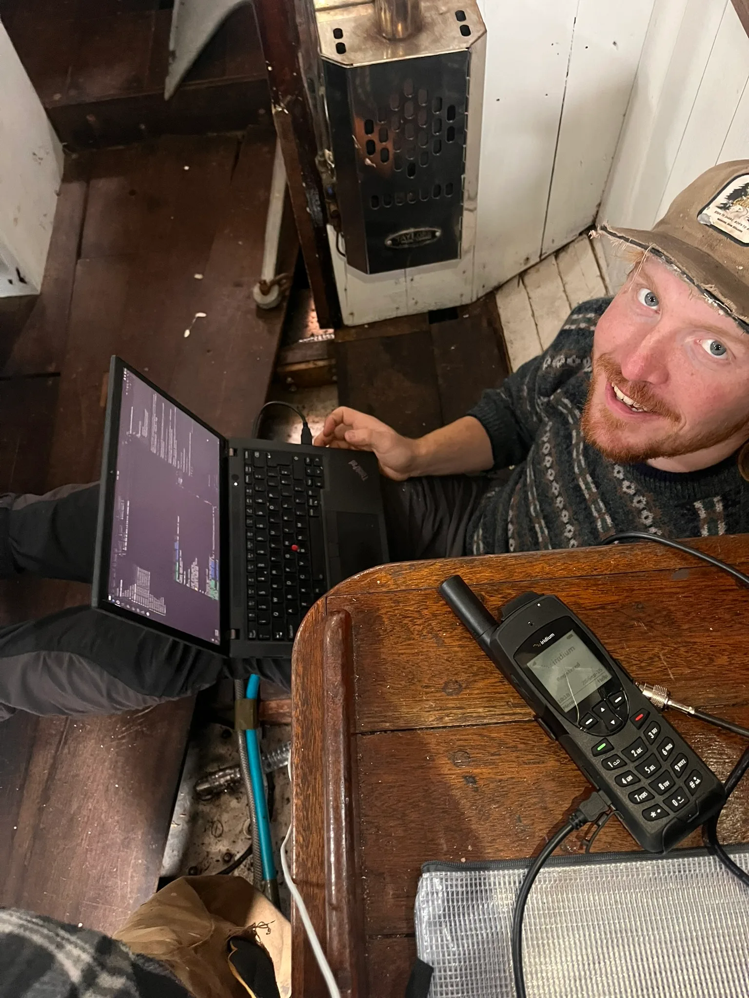
Testing the SAT Phone.
10.1 Communication Devices
Our plan for communication was as follows:
-
1 x VHF radio on Kingfisher for regular boat comms.
-
1 x handheld VHF radio for land party to communicate with Kingfisher.
-
1 x Iridium 9555 satellite phone and Iridium GTC sim, initially loaded with a 100 minute phone plan. To be used for remote phone calls in case of emergency and to get weather via a data modem. An antenna was installed on the pushpit to boost signal and enable cabin usage.
-
2 x Garmin InReach Mini 2s, one with Garmin’s Unlimited plan and one with their Essential plan (50 texts per month). This would give flexibility to update family and friends, and reliably track our position.
-
4 x two-way radios, to communicate between the 4 climbers.
We had intended for each climbing team to have an InReach which could be used to text the SAT phone on Kingfisher (leaving the handheld VHF in a shore barrel). However, the Iridium network lagged significantly, especially when cloudy. Texts took up to 20 minutes to send. The least reliable connection was Garmin to SAT phone. We had tested successfully before getting to Graah Fjord, but the devices must have been piggybacking off other mobile networks. On the other hand, the range of the VHF and two-way radios proved good enough for what we were doing.
Communication between climbing parties was therefore primarily by two-way radio, with one climbing party taking the unlimited Garmin and the other climbing party take the handheld VHF. The secondary Garmin was either left with Kingfisher or taken by the second climbing team depending on the situation. Using this method, the climbers and Kingfisher were able to communicate reliably from a few kilometres away. It should be noted that if we had pursued objectives with a poorer line-of-sight, these methods may not have been sufficient.
Overall, the second Garmin found very little use and was unnecessary other than for redundancy. A second handheld VHF may have been preferred, at half the cost.
Regarding the SAT phone, by the time we got to Reykjavik we had ended up using some 40 minutes of phone plan, primarily from testing our weather system before we left. We therefore purchased an extra 100 minutes on top of the original 100 minutes. This decision proved useful, as we ended up making several calls for advice on our mechanical (gearbox) issues.
It seems important to mention that Kulusuk has a 4G mast and we were able to get mobile data eSIMs. The eSIMs did not allow cheap calls and texts but the data was useful for troubleshooting our gearbox problems.
10.2 Emergency Devices
Both Garmin InReach devices have an inbuilt SOS function that works with any active (or suspended) subscription. These work on relatively low power output (~1-2W) Iridium L-band (1.6 GHz) radio signals to the commercial Iridium network. The SAT phone works on the same network, frequency and wattage, with the added advantage of calling and access to an external antenna. Though, it is important to note that the antenna doesn’t boost signal, rather direct the signal (like putting a reflector around a bulb), so with lots of cloud cover these options are less attractive.
Kingfisher has a marine grade EPIRB on board and Will owns a PLB. The EPIRB floats, has a better battery, and will automatically set off in a depth of 2-4m water. The PLB is manual. The disadvantage to both is that there is no handshake back, whereas an Iridium device can receive response.
Kingfisher’s standard marine VHF works on ~156–162 MHz channels, with a distress button linked to two dedicated AIS frequencies (161.975 & 162.025 MHz) for rescue. These work entirely on line of sight, and with a whip on Kingfisher’s main mast (~8m) the range of Kingfisher’s VHF is about 20km. In Graah Fjord this was irrelevant, but was relevant for all the other coastal sailing.
10.3 Charts
Kingfisher has a Garmin GPS 451 installed in the cabin onto which we could load charts of the UK and Iceland. We also took paper charts of the UK, Iceland and Greenland. However, the paper and published online charts of Greenland leave much to be desired - the best charts are still those by Gino Watkin’s air survey in 1931! We instead made charts of Graah Fjord using QGIS and traced out rocks using satellite imagery.
To load charts onto the Garmin, we would have to buy a special SD card which are expensive and not user-friendly. We also needed something to see the AIS on. The best solution we found was to buy a cheap second hand tablet and use a combination of Navionics charts and OpenCPN, an open-source chart plotter for our custom charts. We also had a linux laptop with OpenCPN as a backup.
10.4 AIS (Automatic Identification System)
Kingfisher had no AIS before the trip, but she does have a VHF whip on the main mast (a range which includes AIS frequencies). AIS is used to communicate information (speed, size, etc.) between nearby ships, which is particularly useful in busy ports and coastal sailing. Since AIS transponders are expensive and we are a small private vessel we decided to only install a receiver.
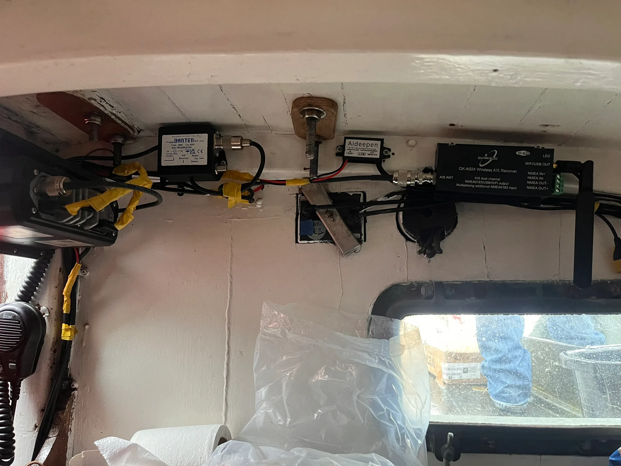
AIS installation. Wiring to be desired..!
There are many options to install this system. Eventually, we realised that a minimal number of moving electrical parts on a wet boat is probably best. We opted to install a second-hand splitter unit next to the VHF, which is powered directly by the 12V supply, and a Quark-Elec A024 AIS Receiver/Multiplexer, which emits a WiFi signal with AIS data. This is powered by a 5V supply, so we also installed a 12V to 5V converter. This system worked well.
10.5 Weather & Ice Forecasts
It would seem that getting reliable weather information at sea has been solved if you buy an expensive Iridium GO!, or give in to Elon and buy a Starlink, which you then have to power (and is not allowed in Greenland).
We brought a Linux laptop with us to do all the handiwork (which is chargeable by 12V, though quicker with an inverter). We had heard Windows has a habit of auto-updating and using SAT phone minutes for background tasks, which we wanted to avoid.
At first we tried setting up firewalls on the Linux system so that only e-mail traffic goes in and out. We could also control the data call from the laptop, and do all the DNS handshaking business that goes on with e-mails. However, most e-mail client’s IPs change dynamically over time, so once away from land we couldn’t use the cached IPs and we were having problems with the DNS lookups going stale. We could have fixed this with a static IP but this is a fair bit more time and work. Our solution, as suggested by Tim Loftus and Alasdair Flint, was to use the SAT phone as a data modem paired with the provider UUPlus to email Saildocs, an open-source weather service that sends back requested GRIB files. UUPlus costs $35/month and allowed us to get decent resolution GFS/ECMWF/ICON forecasts for more than a week out.
The data phone line on the Iridium 9555 SAT phone allows for ~2KB/s data transfer, which is sufficient for the ~20KBs GRIB files we were fetching. The SAT phone plugs into a coax cable running to an external antenna on the pushpit, and also the laptop via USB. We found its connection stability to be variable, dropping significantly on cloudy days.
To fetch ice forecasts, we set up a relay on a GitHub server that finds the latest forecast, compresses the PDF (to below 50KBs) and pings it to a mailbox. This is somewhat overcomplicated; however, ice flow ended up being minimal for us and it was sufficient to check the forecasts with data in Iceland and Kulusuk.
11. Graah Fjord Anchorage and Charting
Written by Charlie Banford
Graahs Fjord was not accurately surveyed or charted, with the best available maps featuring clear errors when compared to the high-resolution satellite images which are available. Shallow rocks could be seen through the water and shoal areas also could be seen. However this technique would of course miss many hazards, it was best used as a general guidance hopefully avoiding some dangers but did not guarantee safe passage. A sharp watch for rocks was kept at all times in the fjord.
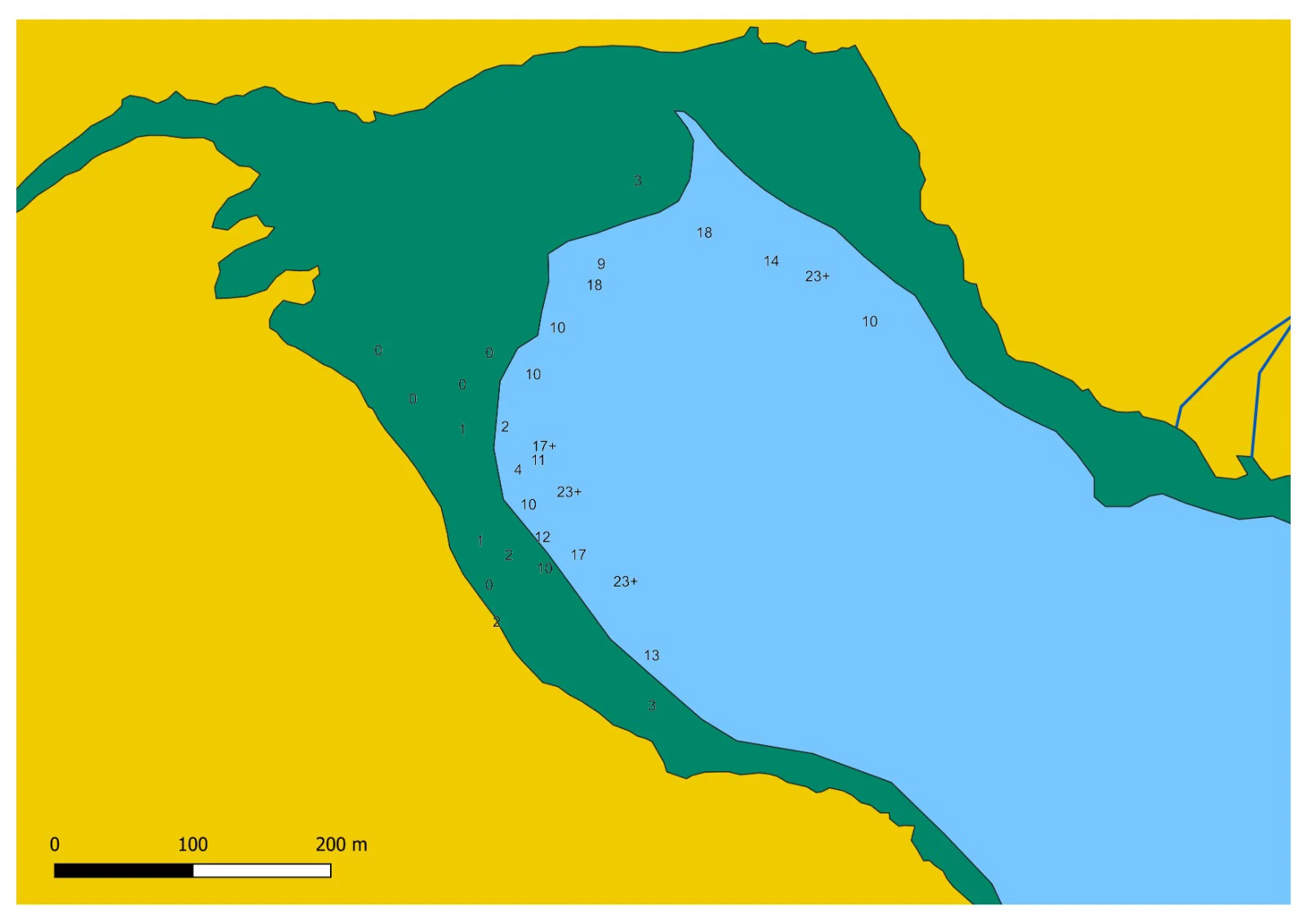
The satellite based chart of the anchorage with soundings.
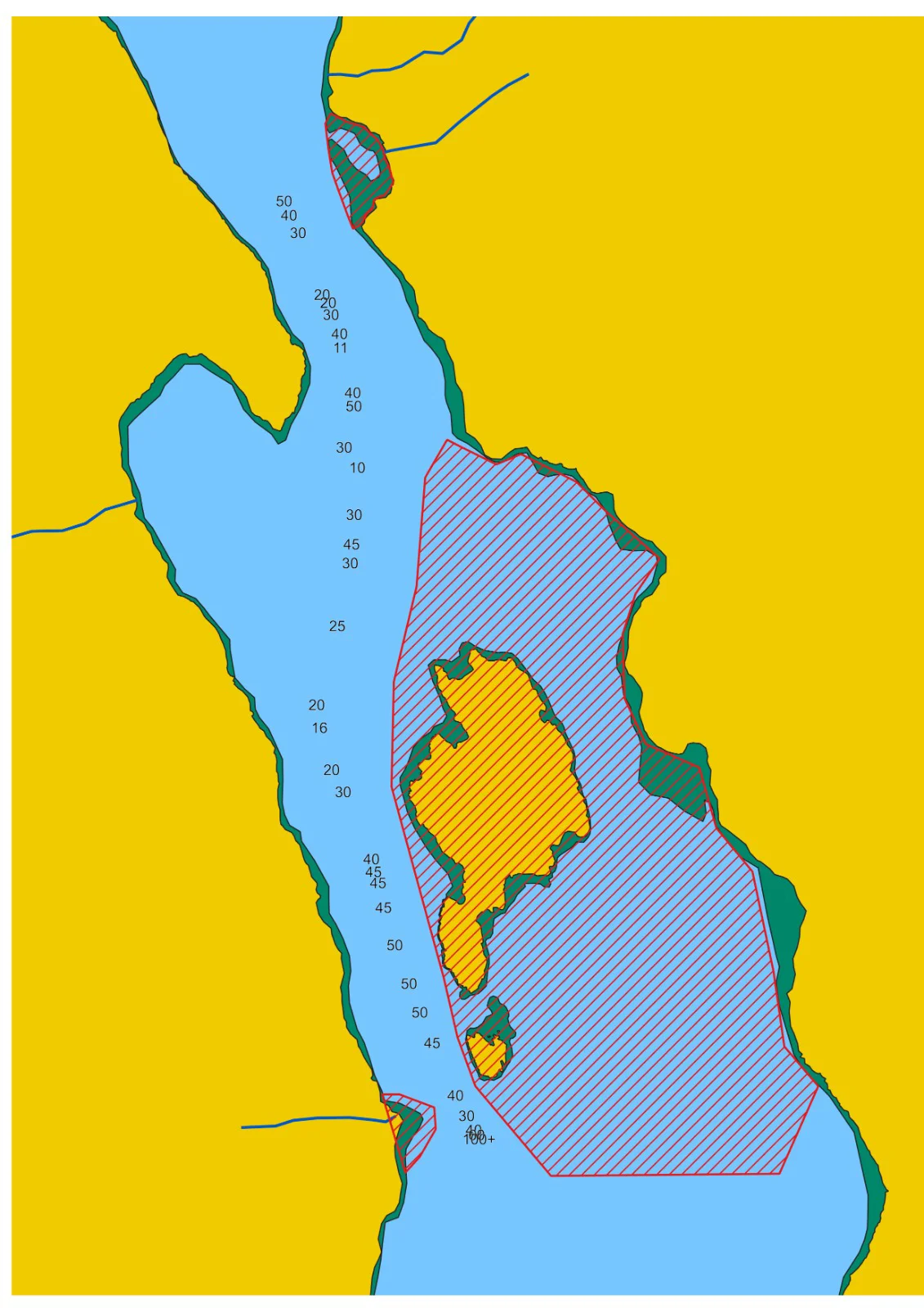
The soundings on approach to the anchorage, suspected hazardous areas labeled in red.
The software QGIS was used to draw charts based off the satellite images, these could then be viewed using open chart plotter on a tablet. These charts proved their worth when they allowed us to safely navigate into the fjord in poor visibility.
We took time to record soundings on the approach to and around the anchorage. This was done using kingfishers depth sounder in deeper areas and a lead line from the dingy for the shallow areas of the anchorage. Location data was recorded for the sounding using the GPS on the inreach. These data points were then added to the charts once back home. It is hoped these charts will allow for safer navigation into the fjord for future sailors.
Areas suspected to be hazardous are labeled on the map in red. With the passage to the east of the island thought to be more shallow based on observations from the dinghy, it also collects a significant quantities of grounded icebergs. This likely is why the anchorage at the head of the fjord was largely ice free. Passage to the west of the island through the narrower but seemingly cleaner and deeper channel is better.
The shore shoals steeply around the anchorage which presented problems when finding a spot shallow enough to anchor without a risk of grounding on the shelf. We anchored in 30m near the south east corner of the anchorage. Holding was found to be good in clayey mud. Other boats appear to have anchored towards the north west side of the anchorage.
The winds in the anchorage were found to be strongly katabatic (to be expected given the surrounding terrain) with winds forecast as force 4 from the north west causing us to frequently sail directly over our anchor as they reversed direction in strong gusts. It would be wise to be ready to seek shelter in Graahs Haven if any strong winds are forecast.
12. Weather and Ice Conditions
Written by Meg Loftus
Timings
In comparison with other Arctic sailing expeditions, ours ran on a very tight time schedule. This was done to avoid difficult ice concentrations found along the Greenlandic coast early in the season, as well as the unpredictable stormy weather at the season’s end. However, it did mean that we had only 2 weeks of climbing planned in our original schedule, and when we ran into engine difficulties we had to cut that down to 8 days. We would recommend leaving earlier in the year rather than staying later, as in recent years the coastal ice has cleared by the start of July, and indeed we met another small yacht when we first arrived in Iceland who had already spent several weeks cruising and were on their way home! We would probably have chosen to leave earlier if it were not for the tight turnaround between Meg and Charlie’s final exams and the extensive refit.
Ice
We saw no ice until within 60 miles of the coast approaching Kulusuk, and even then only a few big bergs. Despite this we had our only ice-related anchoring incident that very first evening, when a bergy bit about ½ size of Kingfisher had to be pushed away with poles and the dinghy. Heading down towards Graah Fjord we were generally more than 50 miles offshore and saw only a few bergs. There was a thicker band of bergs and brash from 5 miles offshore to 20 miles offshore around the entrance to the fjord, most likely due to the ice-producing glaciers in the neighbouring [] fjord.
Graah Fjord has no tidewater glaciers; icebergs blown in from offshore collected and ground on the northeast side of the island next to our anchorage, which we affectionately referred to as the ‘Iceberg Zoo’. We had no incidents with bergs or growlers at out anchorage at the head of the fjord.
Weather
We were very lucky with the weather and we would happily admit that the trip could have been a lot more difficult, serious and most certainly damp had we not been so blessed. Most of our passages were warm with light winds between 3 and 4. We did a lot of motoring and saw very little rain. This is generally common in Greenlandic coastal waters but was unusual during our North Atlantic passages, especially on the rain front - with detailed modern forecasting it is generally possible to make 5-6 day passages with no unexpected strong wind, but to avoid being rained on too is very lucky! In Greenland we saw classic Arctic weather, with about 65% of days being clear, sunny and calm. When we arrived in Kulusuk they were just coming to the end of a heatwave and it was very warm, with the crew sunbathing on the deck and going swimming. 30% saw thick mist, which generally burnt off slowly as the day went on, receding from the land first and down the fjords towards the sea. In Graah Fjord we saw some impressive cloud inversions. The remaining 5% were misty and rainy. During our time anchored in Kulusuk we saw winds up to force 4, but during the planning of our return journey we saw winds of force 6 in the forecast in which the Kulusuk anchorage is likely to be unsafe. In Graah fjord we had one night (of 8) in which we experienced winds that were forecast force 4 over the land, but were strongly catabatic with gusts up to force 5 / 6. After that we saw no winds stronger than force 2 / 3. Generally there would be a light breeze from the sea during the day, with the nights being still or with gentle breezes from the land. The day breeze would begin around noon when the morning fog had receded.
13. Polar Bear Protocol
Written by Lara Novak
Flares
Pencil flares are recommended to carry for polar bear defence, but we were unable to purchase them in the UK nor in Iceland (they are classified as hazardous explosives and therefore cannot be shipped). We therefore each carried a red handheld flare with us at all times when on land; these would have the same desired effect, but are slightly more cumbersome to carry and deploy than pencil flares.
Rifles
When the climbing teams went to shore they carried one rifle between the four of them to the base of the climbing for that day, and returned to pick it up upon descending. This provided a good level of safety on most days (where the start and end point of the route were in the same place) other than on the 9th of August when both teams climbed up Boat Buttress and descended down onto the glacier, leaving about an hour and a half of travel down the valley without a rifle. However, short of climbing with the rifle strapped to your back, this is an unavoidable level of objective danger that we had accepted. We would load the magazine with soft-point bullets before leaving the boat but have the chamber empty. A Ziploc of spare bullets was kept in the bottom of the gun bag for quick access if necessary.
The boat team kept the second rifle, as they were going to shore to explore during the day, and it is not unheard of for bears to climb onto boats. Both rifles would be unloaded and cleaned upon everyone returning to the boat for the night.
Air horns
We had purchased two handheld airhorns for the trip as another deterrent method, as loud noises are recommended to scare off curious bears. There is speculation that noises too similar to that of ice breaking, such as warning shots, are less effective as bears are used to it; our theory was that an air horn, being quite a foreign sound, might work better. Luckily we did not have to test this theory.
The discussed protocol upon encountering a bear was: Stand together and keep silent. If the bear moves on, make your way back to the boat whilst remaining vigilant. If the bear shows signs of irritation or aggression and begins to approach, use the flares (or air horns) to try and deter it. If the bear charges, shoot when it is 30 meters away. DON’T throw a flare past the bear as this could make it charge towards you.
14. Impact Assessment
Written by Lara Novak
Waste
To minimise our impact on the community in Kulusuk, we stored all waste (both dry and food) on board until returning to Iceland. We did not restock on fresh fruit and vegetables until returning to Iceland so as not to deplete the local supply that is shipped in once a week.
Carbon footprint
It was intended that no flights would be taken during the expedition; unfortunately, Lara had to fly out of Reykjavik on the return journey after being admitted to the hospital in Vestmannaeyjar due to suspected septic arthritis.
As a sailing vessel we aimed to be moving under sail as often as was feasible. However, the nature of such a trip (with restricted weather and time windows), paired with the characteristic light winds of the Arctic summer, meant we spent a fair amount of time under engine. We had estimated 500 litres of fuel usage before leaving; we ended up using about 600 litres.
Our electricity consumption was made up of the cabin lights, the navigation lights, charging phones/comms devices, and the engine ignition. The domestic side of this is usually covered by the 100W solar panel we have on board, and any extra power is supplied from the engine. We did not have to run the engine when stationary for charging purposes.
Kingfisher has a small liquid fuel heater run on diesel, which it is only possible to have lit when stationary. We had estimated 7 litres of diesel usage for heating in anticipation of much colder conditions; we ended up using less than a litre. The heater was used maybe three times during the trip and it was never kept alight for more than two hours. The temperatures when at anchor in Kulusuk and in Graah Fjord were generally mild, and with six people generating heat in a small space it was not often necessary.
We had estimated 18kg of gas for cooking. This proved to be relatively accurate: we left the UK with a full 6 litre and 3.9 litre propane bottle. In Iceland, we got another 5 litre bottle. This was exchanged on the return journey, but was still mostly full when we arrived back in Ullapool.
We did a carbon footprint assessment with Carbon Footprint Ltd prior to leaving based on our estimates, and funded the mitigation of 5 tonnes of CO$_2$ by contributing to a verified climate project. This will have covered the amounts used, not including the unforeseen airplane journey taken for medical reasons.
15. Gearbox Escapades
Written by Meg Loftus
A brief technical report of the repairs made to the gearbox. Probably only interesting to those with a techno drive twindisc TMC 60. We had no other significant mechanical or electrical problems. The TMC 60 has a double ended cone which slides on a shaft, allowing it to be pushed by a selecting lever to connect with forwards or reverse gear. The face of the cone is sintered bronze with grooves (when new, ours was basically only bronze) and when it is selected it is connected with a matching female part. When it connects with this the turning engine rotates the cone along a spiral thread which drives it further against the female part. The gearbox then relies on friction between the conical face and the female face to drive the propellor.
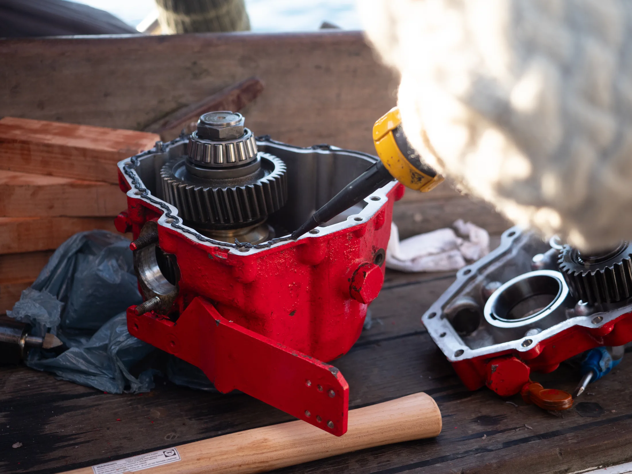
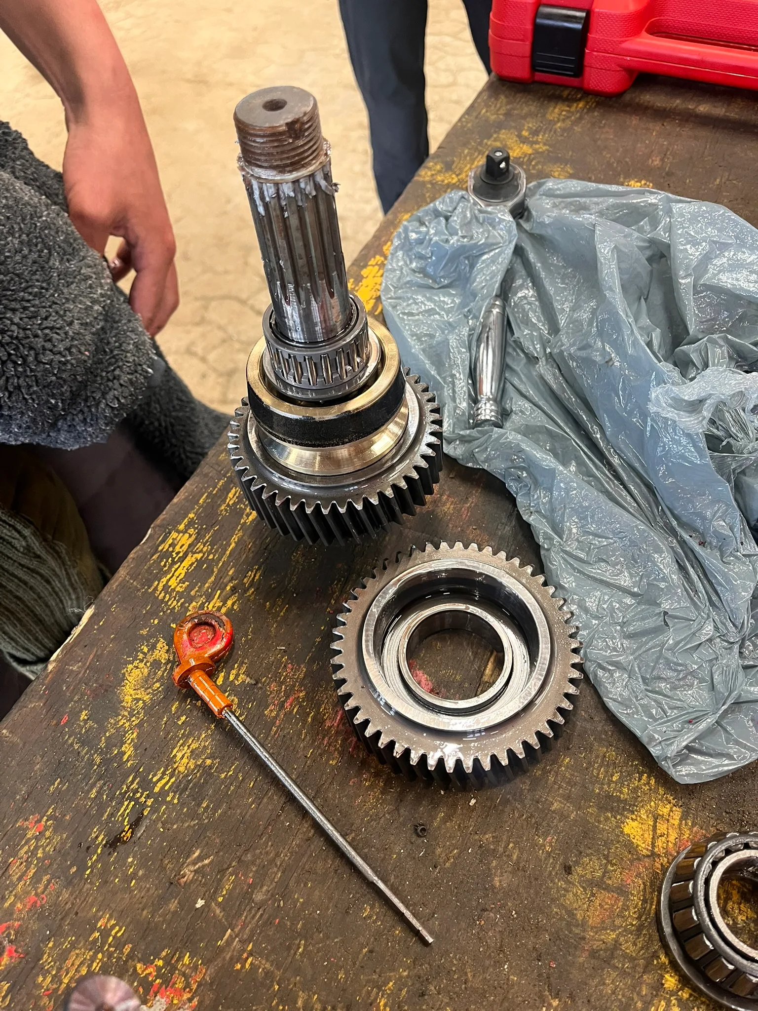
Inside the Gearbox.
If the cable powering the selector lever isn’t properly adjusted, the cone can fail to make enough contact to drive it into the inverse cone. The two faces spinning against each other wears off the grooves and sintering, and the cone loses the necessary friction to engage into gear. For us, this had happened for our forward gear, but the reverse which we use less frequently was still in reasonably good shape. We had to unbolt the gearbox from the engine and prop shaft, and open it up both using the 36mm nut on the engine output shaft and the central divide. It is important that the output shaft nut is taken off first as we didn’t do that and we suspect that is why ours leaked afterward.
We then removed the cone, flipped it round and reassembled. The cone sat on loose bearings and could be taken apart by hand - no bearing pullers required. We resealed the box with silicone sealant but unfortunately the flexible output shaft seal had been damaged so it leaked quite a lot for the rest of the voyage. This was collected in a Tupperware but thankfully we had lots of clean ATF so we didn’t have to recycle. Due to the wear mismatch of the reverse cone and the forward female part, we suspected the gearbox would not last that long and did 2 full oil changes, one before we left Graah Fjord and one in Iceland. Indeed it first began to show signs of slipping when we motored from Ullapool pontoon to Kingfishers winter mooring - survived just long enough!
All in all the actual repair took about one afternoon, but several days were lost researching whether it was possible, if we could get a new one and then latterly trying to find a 36mm socket. Now properly equipped we would probably have only lost a day fixing it, but it was quite a rogue repair to undertake.
16. Notes on Future Expeditions
Written by Will Jones
With more time, we would have liked to explore the area above William’s Step - scrambling up our descent on the left of the crag would provide access to the upper basin. There is a non-technical peak to the northeast (rock and snow). To the west there are various access points to more technical terrain. To the north is a rock ridge that leads onto a glacier with more climbing potential.
We had wanted to try a route on the same wall as Les Droites, which we ran out of time to do. Hakkefjeld, northeast of the anchorage, remains unclimbed but we spectulate it could plausibly be done as a multi-day ridge with proper time to scout and assess. An attempt at the true summit of Phoebe Rose Ridge would have been satisfying to try.
Attempting 3 Cime would involve extensive scouting for a feasible descent, but could be the focus of a future expedition - the SAC expedition tried to climb one of the towers, finding loose rock, but there looked to be other interesting options.
To anyone interested in the area, please reach out and we will be able to provide more detailed photos and information on the area.
17. Financial Statements
Written by Lara Novak
Below is our budget expenditure and income spreadsheet.
We came back with £102.542 left in our expedition fund. This has been kindly granted to allow members of the team to attend the Kendal Film Festival where we will be giving a talk.
| EXPENDITURE | AMOUNT (£) |
|---|---|
| FIELD EQUIPMENT | |
| waterproofs | 351.36 |
| lifejackets/leashes | 545.56 |
| 2x garmin inreach minis | 477.98 |
| garmin plan | 227.17 |
| handheld VHF | 84.95 |
| climbing bail gear | 513.69 |
| first aid kit | 529.02 |
| 2x rifles | 2076.85 |
| sat phone plan/antenna | 697.79 |
| offshore flare kit | 170 |
| 4x walkie talkies | 141.99 |
| liferaft | 1732.79 |
| diving pony bottle and regulator | 104.39 |
| deck storage barrels | 139.67 |
| anchor chain | 742.44 |
| BOAT REPAIRS | |
| 2x liferings | 112.56 |
| engine spares | 293.80 |
| wiring spares | 85.57 |
| outboard engine | 714.95 |
| secondary bilge pump | 125.98 |
| batteries | 319.9 |
| rope | 242.04 |
| prof. engine overhaul | 380.2 |
| bolts | 359.66 |
| misc (amazon, gael force, force 4) | 1984.718 |
| gas sensor replacements | 92.56 |
| alternator | 146.22 |
| starter motor | 220.50 |
| OTHER | |
| diesel | 965.59 |
| GPS systems | 129 |
| self-made CPN | 324.57 |
| personal SAR insurance | 1378 |
| sailing insurance | 750.33 |
| food | 1594.66 |
| permit application | 468 |
| berthing fees | 400 |
| carbon footprint offset | 54 |
| INCOME | AMOUNT (£) |
|---|---|
| GRANTS | |
| Mount Everest Foundation | 4000 |
| Scottish Arctic Club | 5000 |
| Gino Watkins Memorial Fund | 4000 |
| BMC Expedition Grant | 1718 |
| Austrian Alpine Club | 2000 |
| Andrew Croft Memorial Fund | 1500 |
| Royal Cruising Club | 525 |
| OTHER | |
| Gun reselling | 1038 |
Total expenditure: £19678.458 · Total income: £19781
18. Acknowledgments
This expedition could not have happened without the help and advice of many people.
We would like to express our great gratitude for the significant financial support received from the following grants and organisations, whose contributions allowed us to undertake the necessary refit work on Kingfisher and facilitated the trip as a whole:
-
Mount Everest Foundation
-
Scottish Arctic Club
-
Gino Watkins Memorial Fund
-
BMC Expedition Grant
-
Austrian Alpine Club
-
Andrew Croft Memorial Fund
-
Royal Cruising Club
A huge thank you is due to Stu and Uplands Roast who provided us with not only quality coffee to keep us going, but also generously loaned us a drone to take footage of the amazing places we were in.
We would also like to thank Mountain Equipment, who supplied us with technical clothing that kept us warm and dry (and stylish) on all of our adventures.
We are all incredibly grateful to Tim and Alex Loftus, who let several expedition members stay with them during the refit, providing delicious food, therapeutic dog walks, and wonderful company and support. A special thank you as well to Tim and Dan at Johnson & Loftus Boatbuilders, without whose expertise we would not have pulled off our six-week refit.
Thank you as well to all who helped and gave advice along the way - Skip Novak for answering a lot of questions and lending us boat gear, Stephen Venables and Alasdair Flint for being our referees, and Matt and Helen Spenceley for looking after us in Kulusuk.